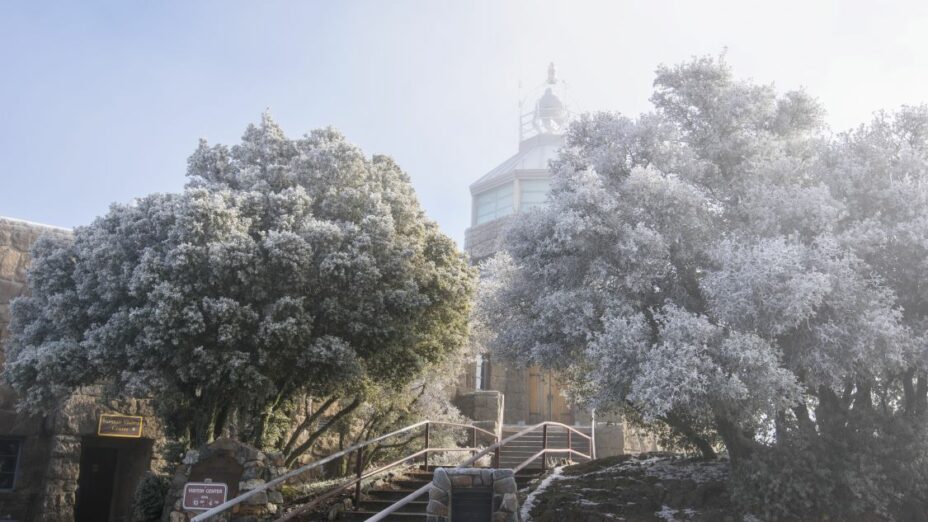
Mount Diablo boasts an abundance of diverse trails for hikers at all levels of experience offering enchanting winter hikes full of natural surprises.
As the days get longer, the seasons shift, and the crisp air sweeps through the landscape, our mountain transforms into a captivating winter wonderland and a place to escape.
From challenging ascents to leisurely hikes, Mount Diablo’s trails cater to all hiking enthusiasts, beckoning adventurers to explore its rugged terrain and breathtaking vistas.
We’ve chosen seven winter hikes on and around Mount Diablo, and each route offers spectacular natural beauty, panoramic views, and varying levels of challenge.
1. Grand Loop (6.2 Miles—Moderate to Strenuous)
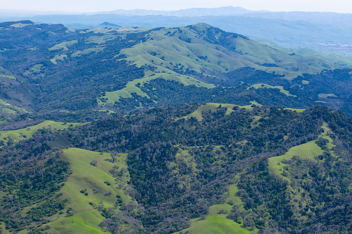
View of Highland Ridge from the Devil’s Elbow Trail, Mount Diablo State Park. Photo by Scott Hein
The Grand Loop offers a diverse, challenging trail that takes you through various terrains. Beginning at the Juniper Campground parking lot, the loop passes through chaparral, oak woodlands, and rocky ridges.
Expect strenuous sections with ample elevation gains and rewarding panoramic views of the Diablo Range, San Francisco Bay, and sometimes even the Sierra Nevada.
2. Black Point Trail (5 Miles—Challenging)
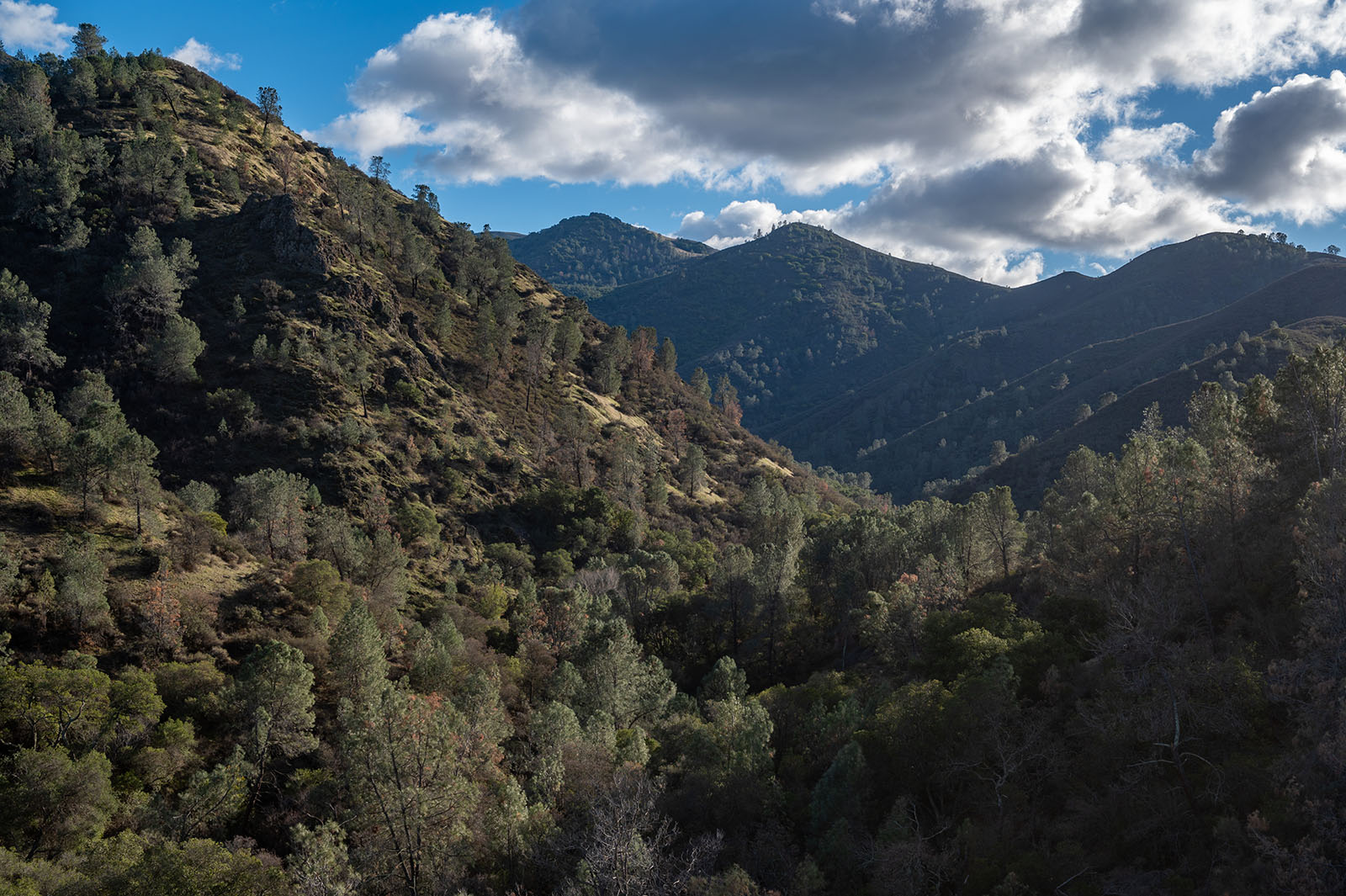
View of Mitchell Canyon from the Black Point Trail. Photo by Scott Hein
Known for its rugged terrain, the Black Point Trail presents a more demanding hike. The trail winds through chaparral with steep ascents and descents, offering dramatic vistas of the surrounding hillsides and valleys.
It’s a good choice for someone who has been to the more well-known peaks in the park, but perhaps wants a great workout and something else to conquer or a more solitary outing.
3. Juniper Trail to Summit Trail Loop (4 Miles—Moderate)
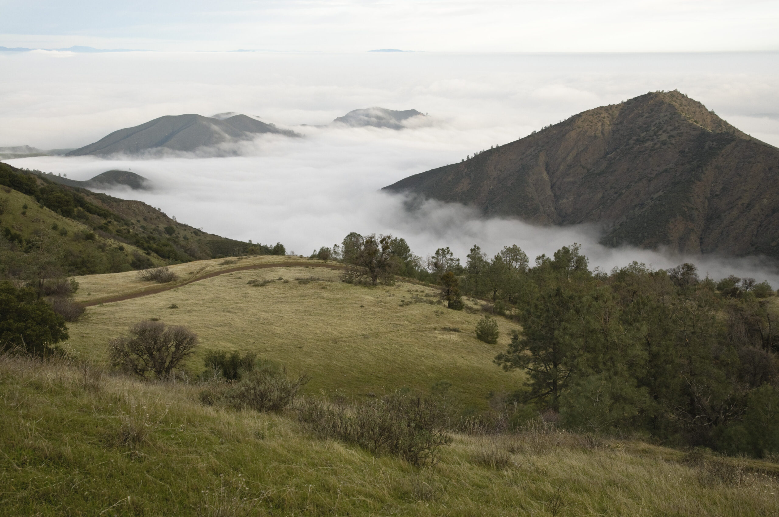
Fog blankets the area under Deer Flat below the summit of Mount Diablo. Photo by Scott Hein
This loop combines the Juniper and Summit Trails, leading hikers through juniper and oak woodlands. It can be a nice loop for those looking to get a sense of what summiting Mount Diablo is like or act as a quick outing for those needing a decent workout.
The loop begins at the Juniper Campground, heads down to the Summit Trail back up to the top of the mountain, and culminates in a steep climb to the summit.
The panoramic views of the Bay Area and Sacramento Valley are worth taking some extra time to enjoy, as is the visitor center before heading back down a short distance to the parking lot.
4. Mary Bowerman Trail (1 Mile—Easy)
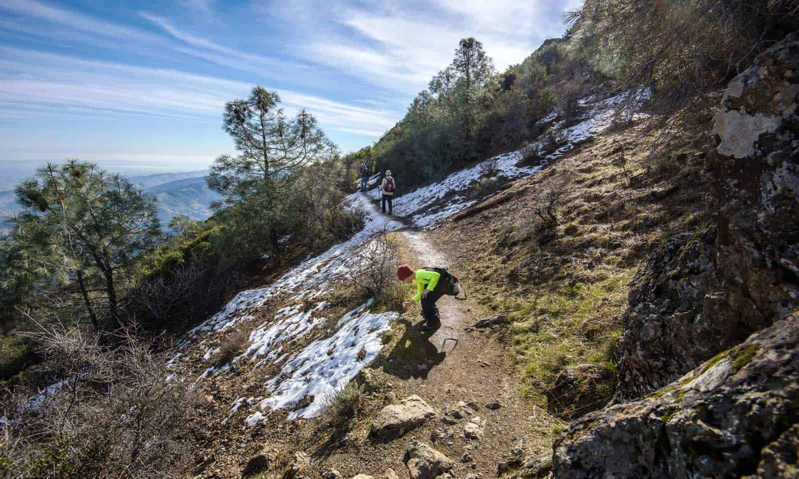
Mary Bowerman trail on Mount Diablo in the winter. Photo by Scott Hein
Named after one of Save Mount Diablo’s founders and renowned botanist, Mary Bowerman, this wheelchair-accessible trail offers a series of interpretive panels providing insights into the mountain’s geology and wildlife while encircling the summit.
The paved path presents stunning panoramic views of the San Francisco Bay Area and Central Valley. On a clear winter’s day, you can see the Sierra Nevada and maybe even Mount Lassen.
5. Falls Trail for Winter Waterfalls (5.1 Miles—Moderate)
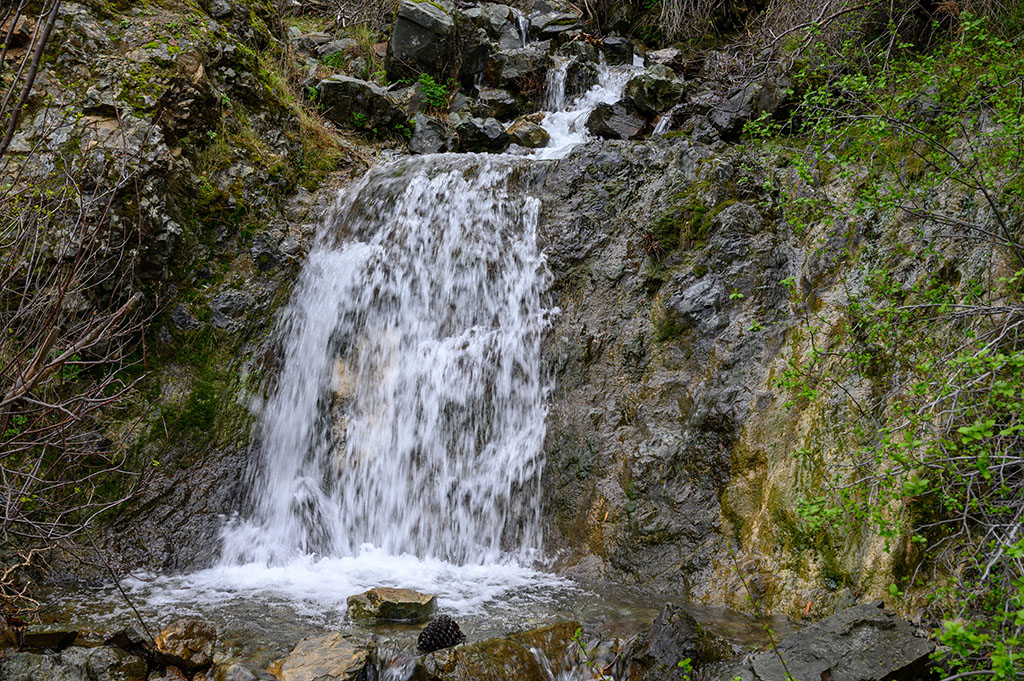
Waterfall on the Falls Trail. Photo by Scott Hein
Beginning at Regency Gate, this trail guides hikers through shaded canyons filled with oak and bay laurel trees. During the wet season, visitors can enjoy the seasonal waterfalls along Donner Creek.
This is a popular choice and it’s absolutely worth the reward of chasing waterfalls, though it may get crowded during the weekends.
6. Twin Peaks (3.8 Miles—Moderate)
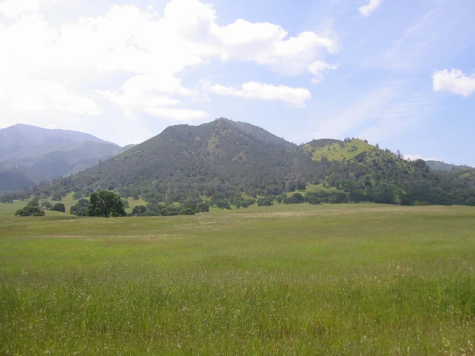
Twin Peaks as seen from Clayton. Photo by Seth Adams
This trail leads to some of the less prominent peaks on Mount Diablo, passing through grasslands and wooded areas from the Mitchell Canyon trailhead.
The panoramic views from both peaks reward hikers with breathtaking landscapes and may be less crowded than many other options for mid-level hikers.
7.Mount Olympia from Three Springs (7 Miles—Challenging)
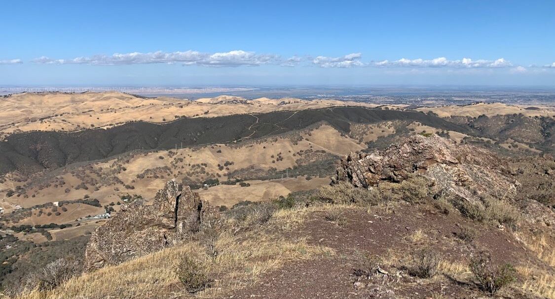
View from Mount Olympia. Photo by Mary Nagle
This challenging hike begins at the Three Springs trailhead, at one of the first properties Save Mount Diablo acquired, ascending to the summit of Mount Olympia.
Expect steep sections, rugged terrain, and perhaps a bit of mud in the lower elevations, but the views from the top make it a gratifying experience for seasoned hikers.
We are so lucky to live in a climate that supports outdoor recreation year-round, and Mount Diablo is one of the best places to enjoy it. If you have even a bit of spare time, choosing one of these hikes and getting outdoors can make a big difference in your quality of life.
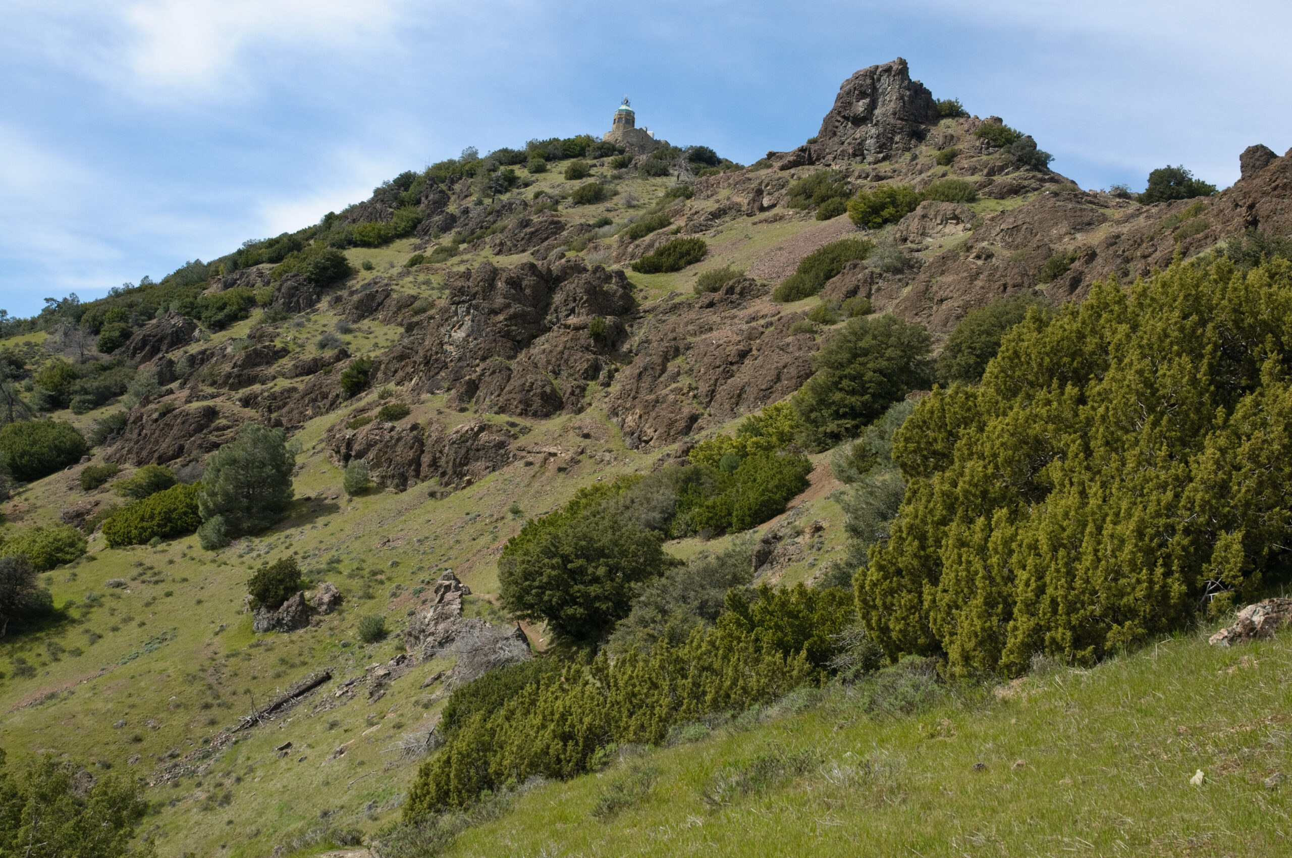
The Mount Diablo Summit Museum and Devils’ Pulpit from the Devil’s Elbow Trail. Photo by Scott Hein.
If you are looking for something a bit more custom, we welcome you to check out the sixth edition of our regional trail map to find more great places to hike close to home.

