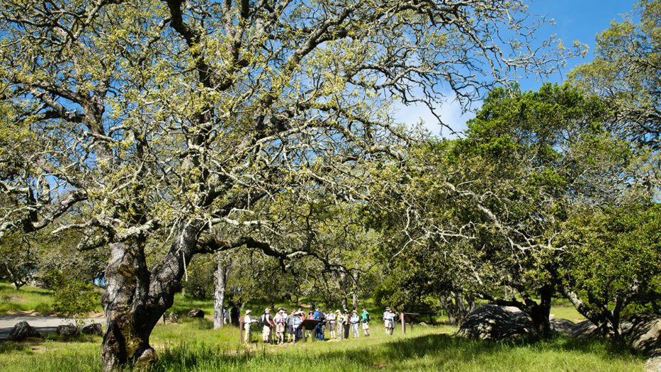
The southern side of Mount Diablo can be a shady relief from the open grasslands, and its Curry Point makes for a great starting point for a more mellow summer outing.
This looped hike is perfect for beginners looking to beat the heat with abundant shade while seeking the area’s mesmerizing views.
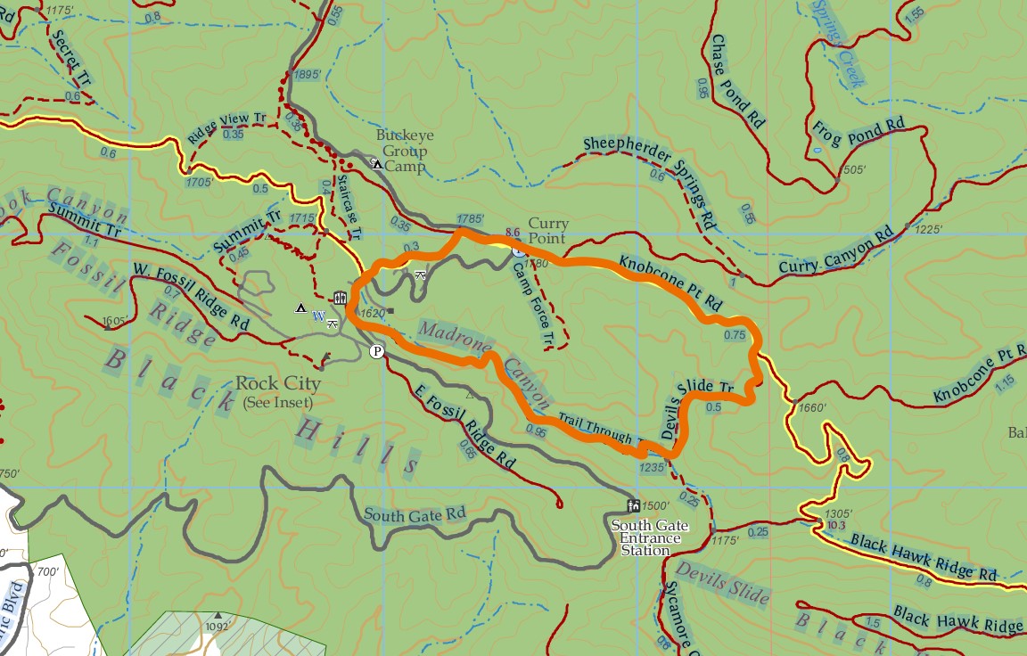
Distance: 2.8 miles
Elevation change: 550
Difficulty: Mild/moderate
Hiking time: One and a half to three hours
Trail surface: Single-track trail
Best seasons: Late spring, early summer
Hours: 8 AM to sunset
Managing agency: California State Parks
Trailhead location: Curry Point, Mount Diablo State Park
Description: The Curry Point parking area is rather small, so you’ll want to time your hike accordingly to luck out on a space. However, this hike can also be enjoyed from other parking spaces along South Gate Road.
Plan on taking the southern entrance to the park, because you’ll find the North Gate entrance currently closed for repairs (until mid-September of 2023).
Beginning from the Curry Point parking area, hikers will head east on Knobcone Point Road before turning onto Devil’s Slide Trail. Then hang a right and continue westward on the Trail through Time.
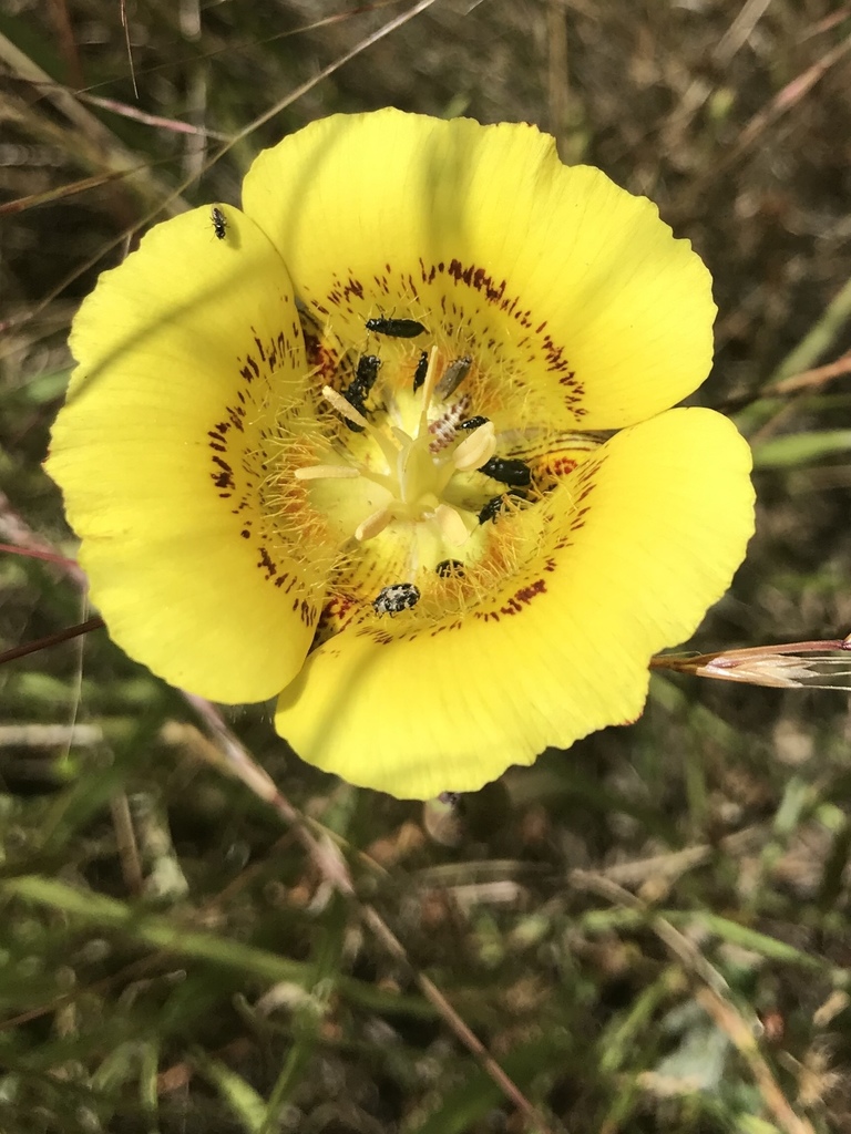
Photo by Claire Elliot
On this first half of the hike, be on the lookout for the gorgeous yellow mariposa lily (Calochortus luteus), which might still be blooming in the area.
This section of the Trail through Time runs through Madrone Canyon on the way to Rock City, then along South Gate Road right through Rock City.
Madrone Canyon. Photo by Scott Hein
Finishing up the trek, hikers will take Wall Point Road and Knobcone Point Trail back to Curry Point.
We hope you enjoy this hike! Please check out the new sixth edition of our regional trail map to find more great places to hike close to home.

