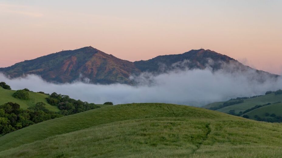
The lands of the Mount Diablo region, and its sustaining Diablo Range, are a 200-mile-long living museum of California history.
They contain little-known areas that were once the site of major historical events, adding to the striking sense of place that visiting Diablo’s rugged wild lands can evoke.
In these eight places of the East Bay and beyond, the past and present unite; visitors can travel through history and better understand how the past shapes the lands we travel through today.
1. The Trail through Time

The Mount Diablo Summit building. Photo by Cris Benton
As you travel down the mountain on Mount Diablo’s Trail through Time, you’ll travel through 190 million years of geological history. Look to the rocks and you’ll learn about a history older than the Bay Area itself.
While you traverse the Trail through Time, look around and you’ll get a far more recent bonus story, in addition to the area’s fascinating geological history.
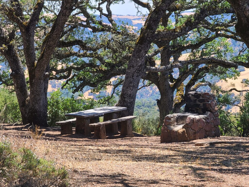
A picnic area at Mount Diablo State Park with a stone fireplace built by Civilian Conservation Corps members in the 1930s. Photo by Alexander Broom
You’ll see how hundreds of Civilian Conservation Corps (CCC) members who lived and worked on Mount Diablo shaped the state park we know and love today.
The projects completed by the CCC include park roads, stone hearths in picnic areas, and the Summit Museum itself. In 1989, the State Parks and Recreation Commission declared this stonework a Cultural Preserve because the hearths are a part of our state’s cultural heritage.
Learn more by watching Audible Mount Diablo’s video on The Trail through Time.
2. Black Diamond Mines
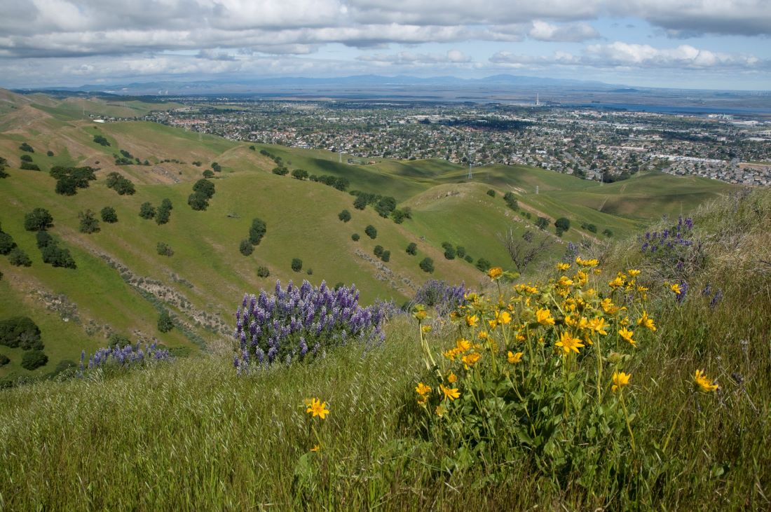
Lougher Loop in Black Diamond Mines Regional Preserve. Photo by Scott Hein
Enter a place that was once one the site of the “largest coal mining operation in California history,” Black Diamond Mines Regional Preserve.
Miles of tunnels, worked by 900 miners, stretched under the preserve. Back then, the area was a true industrial wasteland, with streams that ran black with pollution. Today, visitors can see the tunnels through the regional park’s guided tours.
Since the mines were closed, nature has reclaimed the land. The open spaces of Black Diamond are certainly not untouched, but they are thriving.
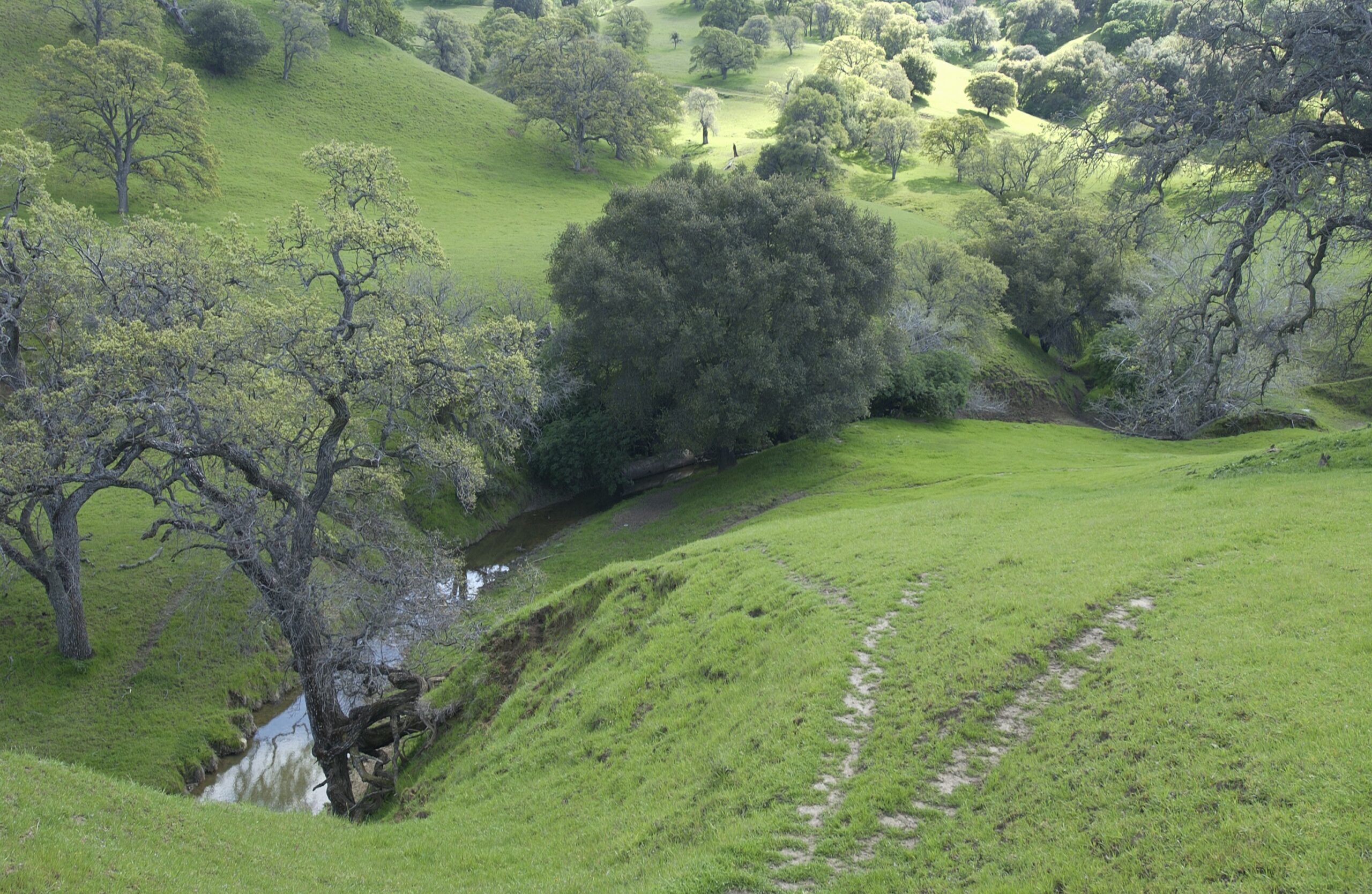
Sand Creek in Black Diamond Mines Regional Preserve. Photo by Scott Hein
Black Diamond is a popular outdoor escape with sweeping views and abundant wildlife.
It’s a great place to spot raptors such as red-tailed hawks and golden eagles throughout the year. And in the spring, you can count on Black Diamond to be filled with wildflowers, making it nothing short of a stunning East Bay gem.
Explore Black Diamond Mines history by watching Audible Mount Diablo’s guide to Black Diamond Mines Regional Preserve.
3. Perkins Canyon Mercury Mine
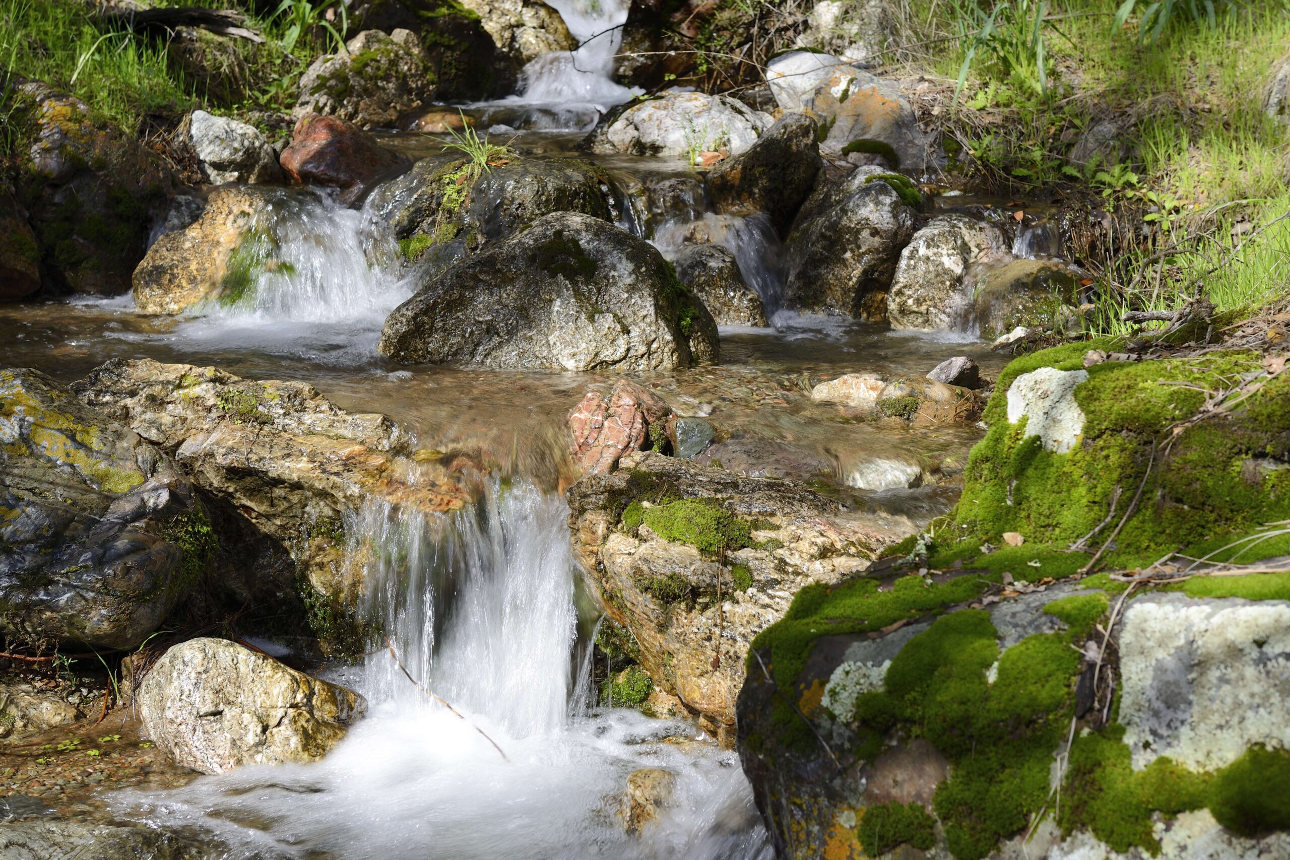
Perkins Canyon in Mount Diablo State Park. Photo by Al Johnson
Visitors to Perkins Canyon travel through a place where lava the consistency of toothpaste oozed up from underground in some spots, shaping the landscape millions of years ago.
Perkins Canyon was also affected by the Morgan fire that swept through the area in 2013, which has made a great place for scientists to study the effects of wildfires.
Learn more about Perkins Canyon with Audible Mount Diablo’s guide to Perkins Canyon.
4. Morgan Territory Regional Preserve
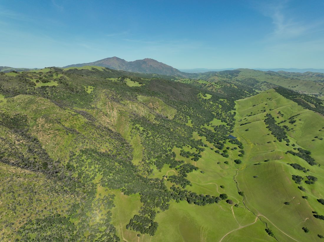
Morgan Territory and Round Valley Regional Preserves. Photo by Cooper Ogden
In Morgan Territory, even the trail names tell a story. Many reference the supernatural beings with animal names featured in indigenous people’s stories about Mount Diablo, and some of the keystone plants that inhabit the area.
Visitors to the less-traveled west side of Morgan Territory will pass by the historic Clyma orchard. It’s named for William and Phillipa Clyma, who bought 80 acres of land in Morgan Territory in the 1800s.
If you’re interested in a comprehensive history of Morgan Territory, check out Anne Homan’s book, The Morning Side of Mount Diablo.
See the beauty and history of Morgan Territory Regional Preserve in Audible Mount Diablo’s guide to Morgan Territory.
5. Dr. Aurelia Reinhardt Redwood Regional Park
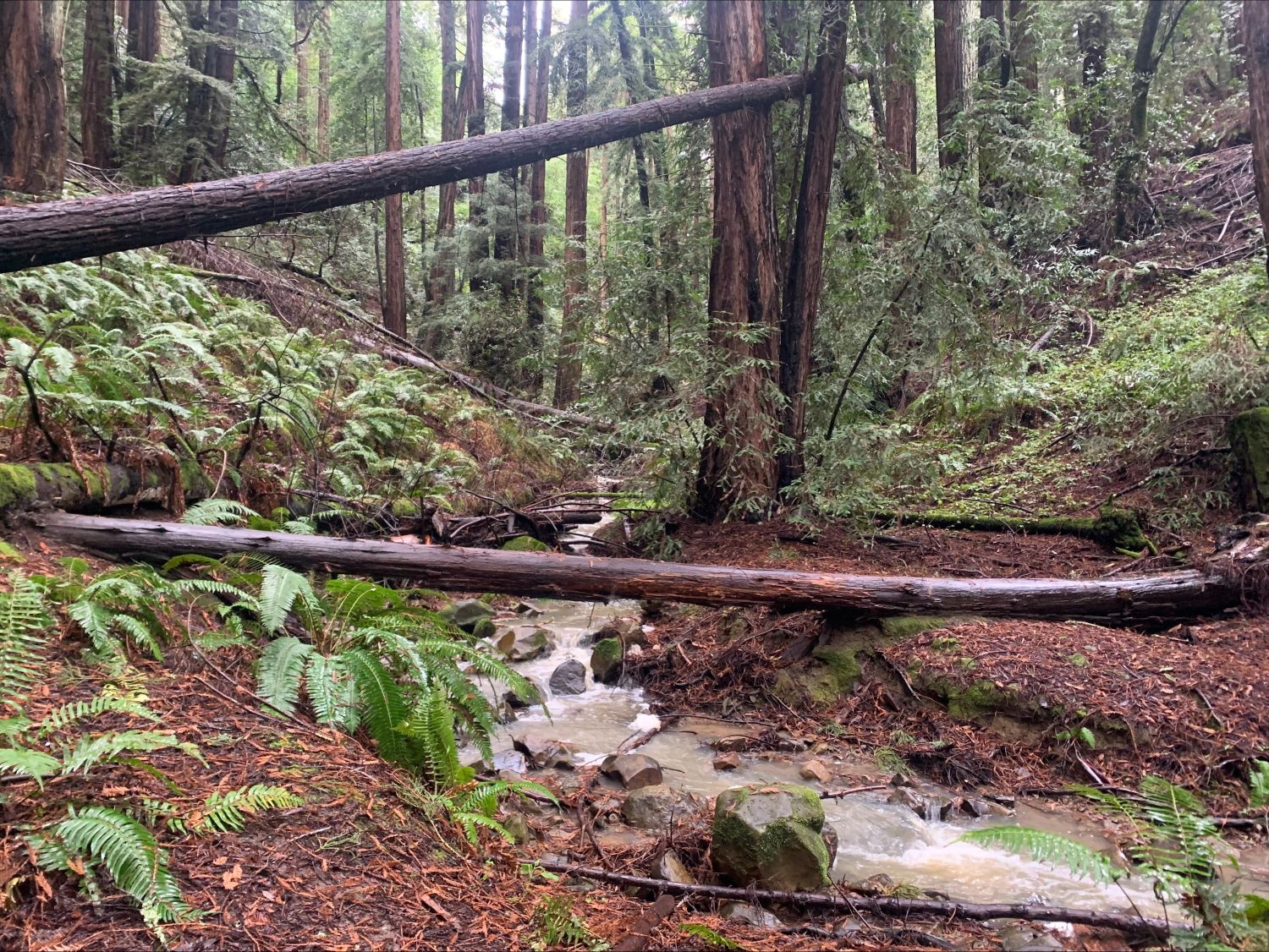
Reinhardt Redwood Regional Park. Photo by Mary Nagle
Today, this park is a popular spot for East Bay residents to get a break from the hustle and bustle of city life. Hikers come to this 1,833-acre park to get lost in redwood groves as they enjoy the numerous trails this park has to offer.
But in the mid-1800s, the old-growth redwood forest was destroyed by logging and used as building material for the San Francisco Bay Area. Today none of the original trees remain, though the park does still serve as vital wildlife habitat.
6. Fremont Peak
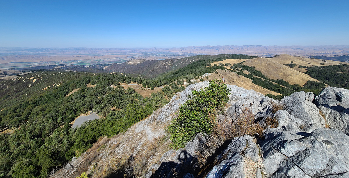
Fremont Peak State Park. Photo by Alexander Broom
Generally known as a great spot for stargazing, Fremont Peak is a place filled with California history.
Fremont Peak’s namesake, Captain John C. Fremont, was a prominent figure in the history of the United States westward expansion.
Historically known as Gavilán Peak, the peak is considered to be the first place in California where the American flag was raised, when Captain John C. Fremont led a exploratory force to California in 1846.
7. Juan Bautista de Anza National Historical Trail
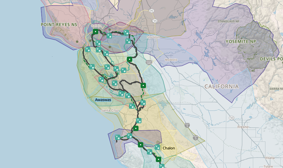
The Juan Bautista de Anza National Historic Trail circles through the Diablo region. Map by the National Park Service. See the full map.
This 1,200-mile trail stretches from Arizona to San Francisco, passing through parts of the Diablo Range and circling the Mount Diablo region.
It follows the route taken by the Anza colonizing expedition in 1775 and 1776, which led over 240 colonists to San Francisco, where they established a mission and presidio.
The expedition passed through the lands of more than 70 indigenous tribes, many of whom survived and continue to pass down their cultures and traditions, despite the devastating impacts of colonization.
Today the trail is a place where people remember and honor many facets of California’s rich and complex history.
8. Pinnacles National Park
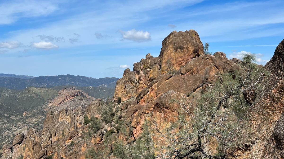
Pinnacles National Park. Photo by Sean Burke
Like at Mount Diablo State Park, several of the buildings and trails within Pinnacles National Park were constructed by the Civilian Conservation Corps (CCC) in the 1930s.
Thanks to the CCC’s work throughout the park, including on parts of the High Peaks Trail loop, hikers today can explore Pinnacles National Park and connect with this natural monument within the Diablo Range.

