Know Before You Go
Burn areas can be hazardous. Please read through the CNPS Know Before You Go page before you venture out!
Know Before You Go
Burn Sites
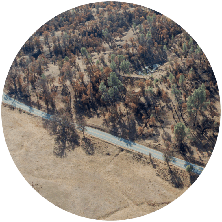
Round Valley Regional Preserve
Contra Costa County19450 Marsh Creek Road, Brentwood, CA Check Status
Morgan Territory Regional Preserve
Contra Costa County
9401 Morgan Territory Road, Livermore, CA 94551
Until further notice, the Miwok Trail through Los Vaqueros Watershed is CLOSED for resource protection. For questions regarding the closure please contact Contra Costa Water District.

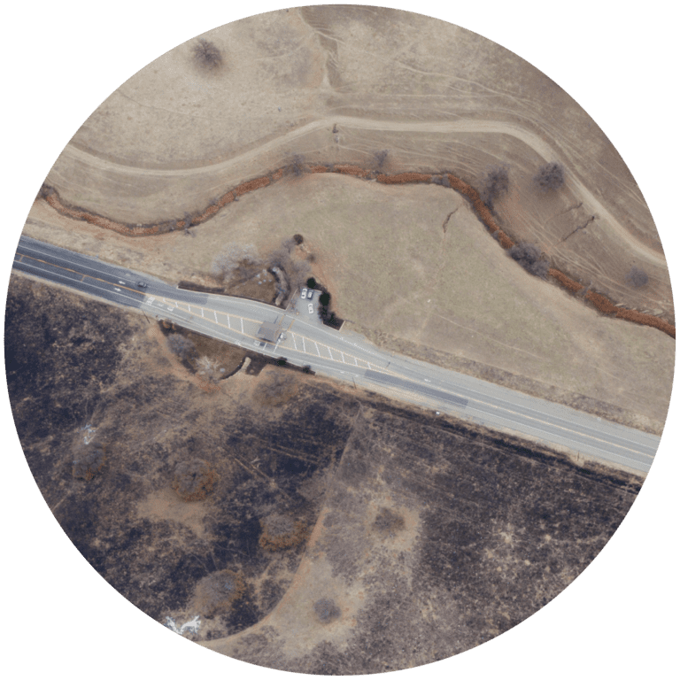
Los Vaqueros Reservoir
Contra Costa County
9990 Los Vaqueros Road, Byron, CA 94514 (South/Marina Entrance)
Vehicle Entrance Fee: $6 (exact cash) – Click Here for more information and exception on the entrance fee.
Check Status
Sunol Regional Wilderness/San Francisco Water District/Mission Peak Regional Park
Alameda County
1895 Geary Road, Sunol, CA
To reach the burned site, take the Ohlone Wilderness Trail heading towards Mission Peak. Please note that there is no parking available on Calaveras Road. The best way to access the trail is to park at the Sunol Visitor Center. PERMIT REQUIRED for the Ohlone Wilderness Trail: Click here for more information on how to obtain a permit.

Henry W. Coe State Park
Santa Clara and Stanislaus County9000 East Dunne Avenue., Morgan Hill, CA 95037 Check Status
Public Roads
Most of the land along these public roads are private. No trespassing is allowed.
There are many pull-outs to safely stop at and observe.
Binoculars and cameras are very helpful for observing wildlife and plants from the road.
There are many pull-outs to safely stop at and observe.
Binoculars and cameras are very helpful for observing wildlife and plants from the road.
Mines Road to Junction to San Antonio Road to Mt. Hamilton Road (or reverse)
Alameda and Santa Clara Counties
- Starts south of Livermore and turns into San Antonio Valley Road, intersecting Del Puerto Canyon Road.
- Narrow, two-lane, paved road that stretches about 28 miles until it turns into San Antonio Valley Road. There are a few spots that become a narrow, one-lane road. Very windy.
- There are mile-markers on posts and on the pavement.
- Heading south from Livermore, the burn site starts on the eastern side of Mines Road at mile-marker 14 and continues to mile-marker 20 to the Alameda County/Santa Clara County Line.
- The burn site continues to the junction with Del Puerto Canyon Road (between mile-markers 20 and 19), and past it to San Antonio Valley towards Mt. Hamilton/Lick Observatory (mile-markers 27 to MM 1)
- The burn site is more dramatic and immediate when entering from San Jose on the 130 (beginning at Mt. Hamilton/Lick Observatory)
Del Puerto Canyon Road
Stanislaus and Santa Clara Counties
- Narrow, two-laned, paved road. Very windy.
- Del Puerto Canyon Road is accessible from Patterson, CA and Hwy 5, or at “The Junction” with Mines Road, 27 miles south of Livermore.
- The burn area begins at mile one of Del Puerto Canyon Rd. to the junction with Mines Road past the 24-mile marker. You can start at the junction or on Hwy 5 at Patterson, CA.
- Del Puerto Canyon is famous for birding.
- The lower 3 miles of Del Puerto Canyon and the road are threatened by a proposed reservoir.

