Fields of Flowers
A walk in the Ohlone Wilderness
Photos by Scott Hein
Text by Bruce and Joan Hamilton
It was an alluring prospect: a springtime trip to the Ohlone Wilderness to check out the results of a big fire last fall, for Save Mount Diablo’s BioBlitz.
Our observations would be combined with those of others surveying burned areas in the Diablo Range to better understand the effects of 2020’s SCU Lightning Complex wildfires, collectively the third largest fire in California history.
Normally, we’d expect a wildflower bonanza following a burn. But in the spring of 2021, the Bay Area was parched, with many locations reporting only 30 percent of normal rainfall for the year. So we arrived at the trailhead with questions.
Had the area’s gnarled ancient oaks survived the double whammy of fire and drought? How about such notable residents as eagles, red-legged frogs, and Alameda whipsnakes?
Would the wildflowers rise to the splendor worthy of a post-fire burn? With the help of expert naturalist and photographer Scott Hein, we hoped to find out.

Photo of Scott Hein by Joan Hamilton. All other photos by Scott Hein
Splendor in Serpentine
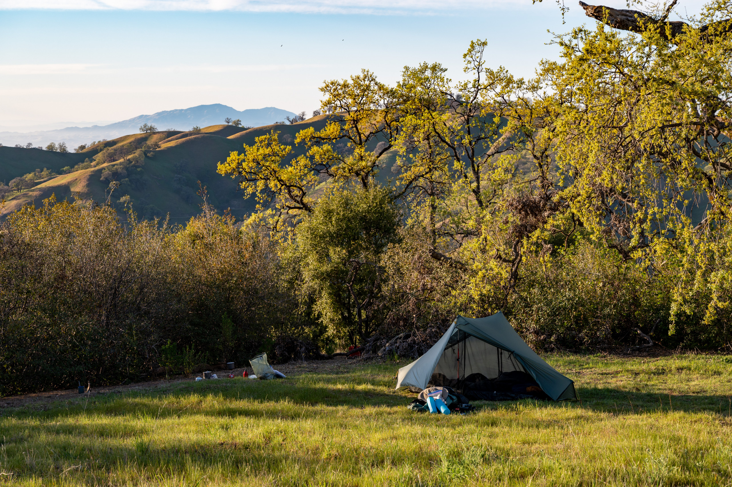
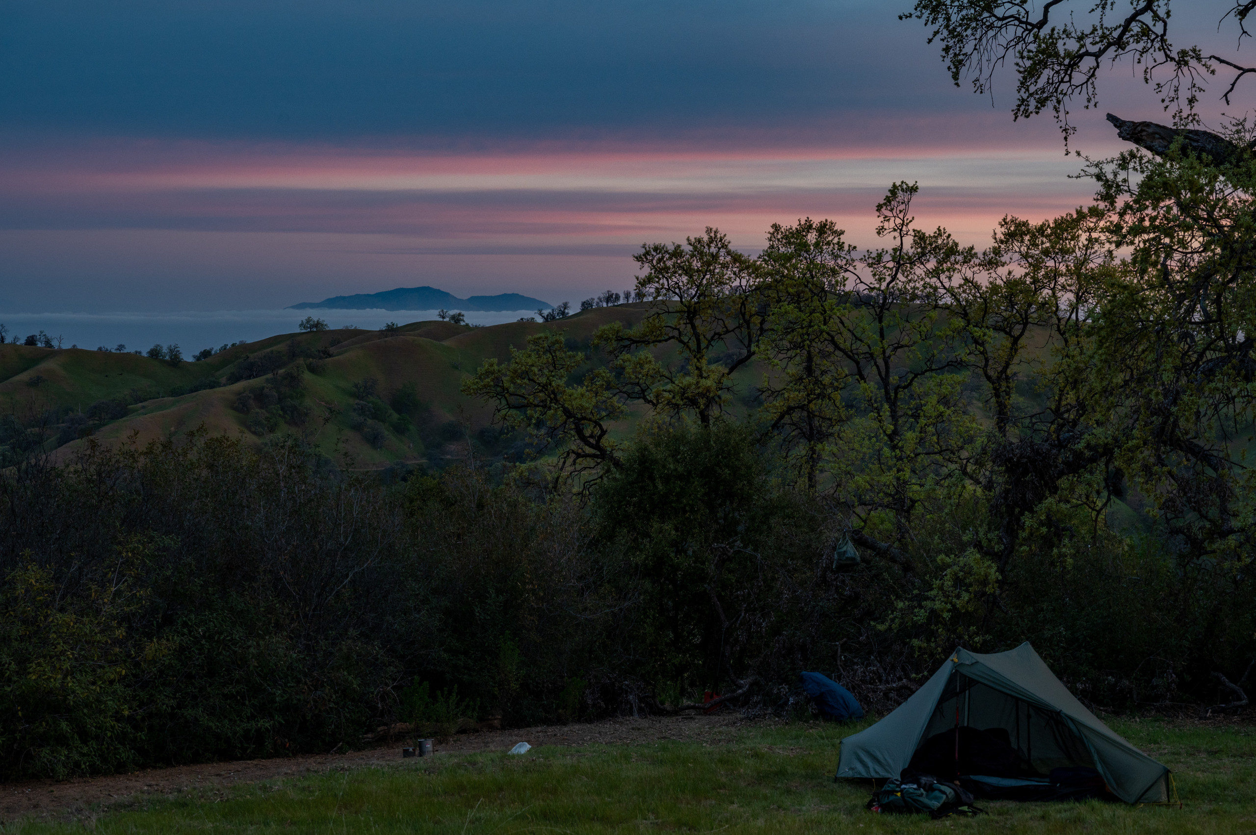
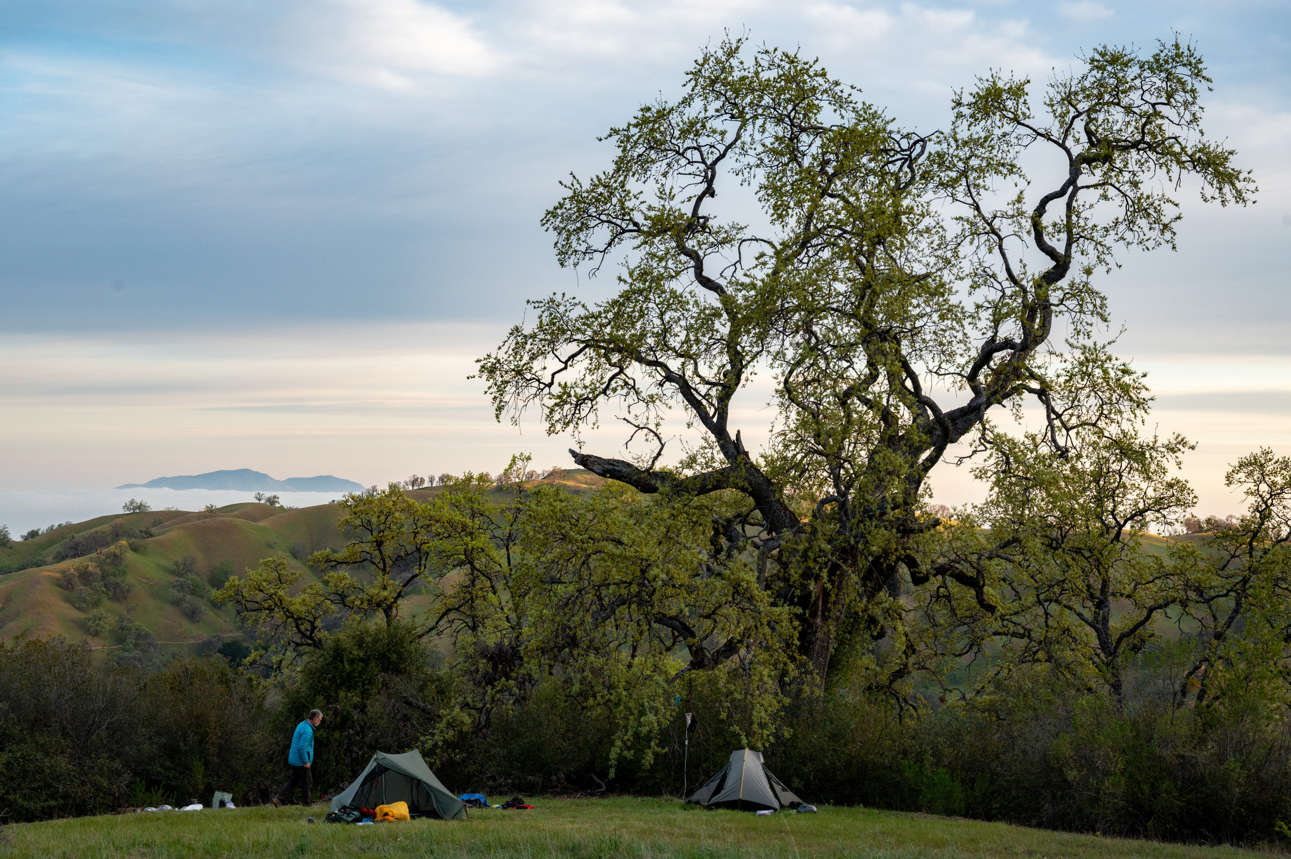
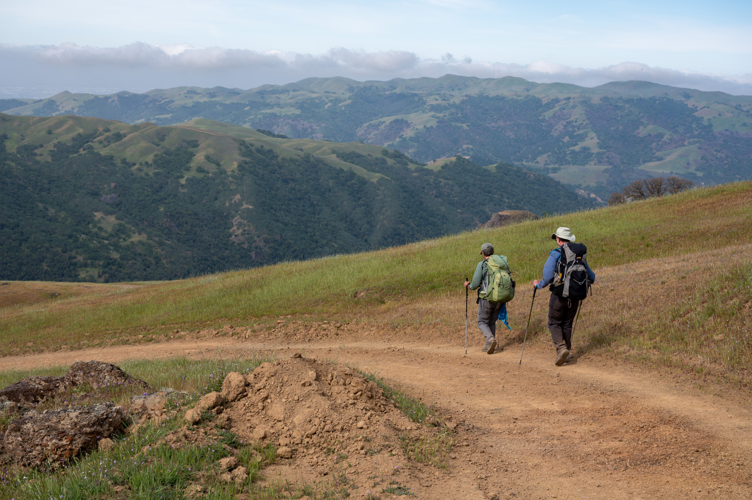
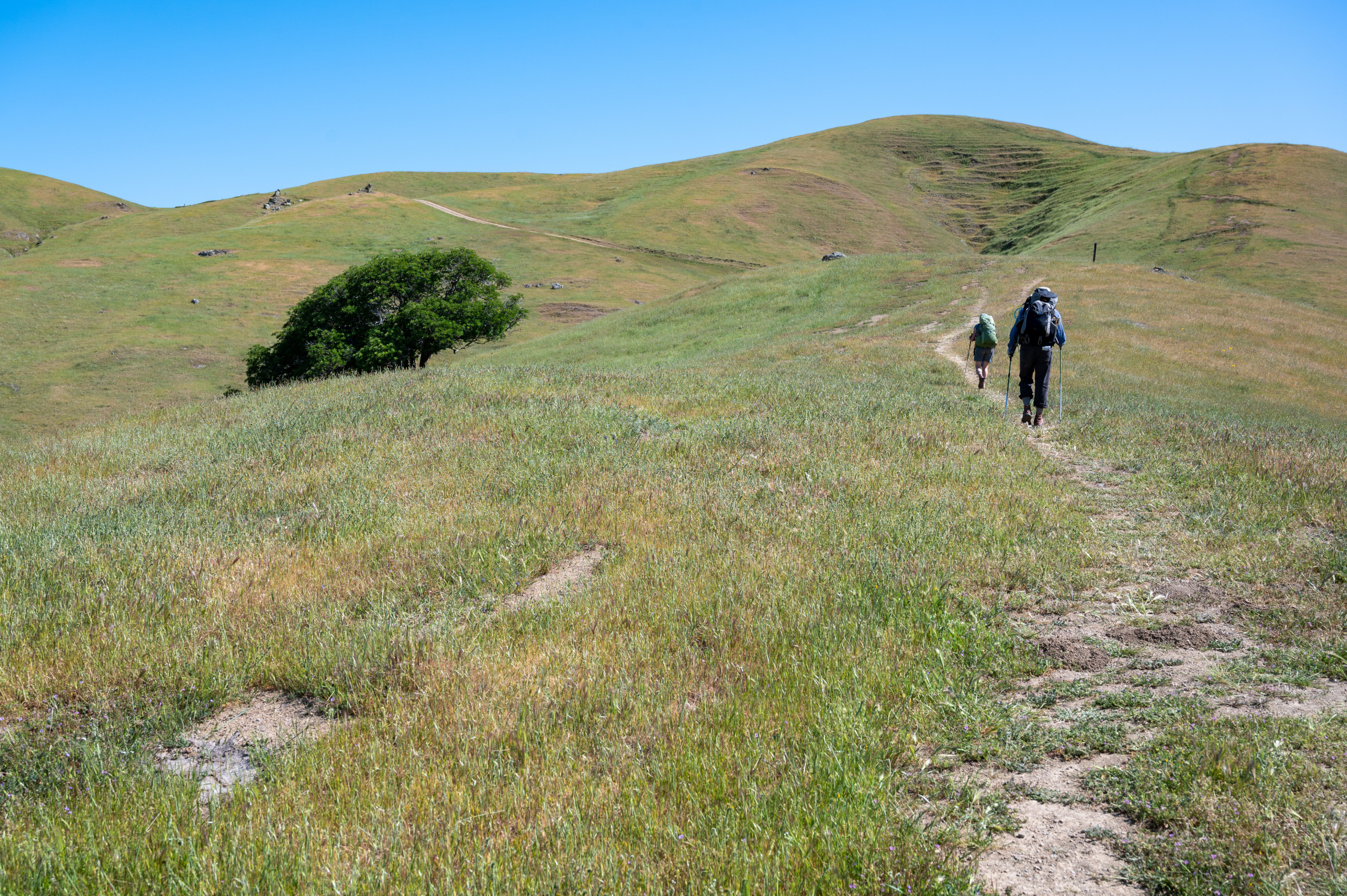
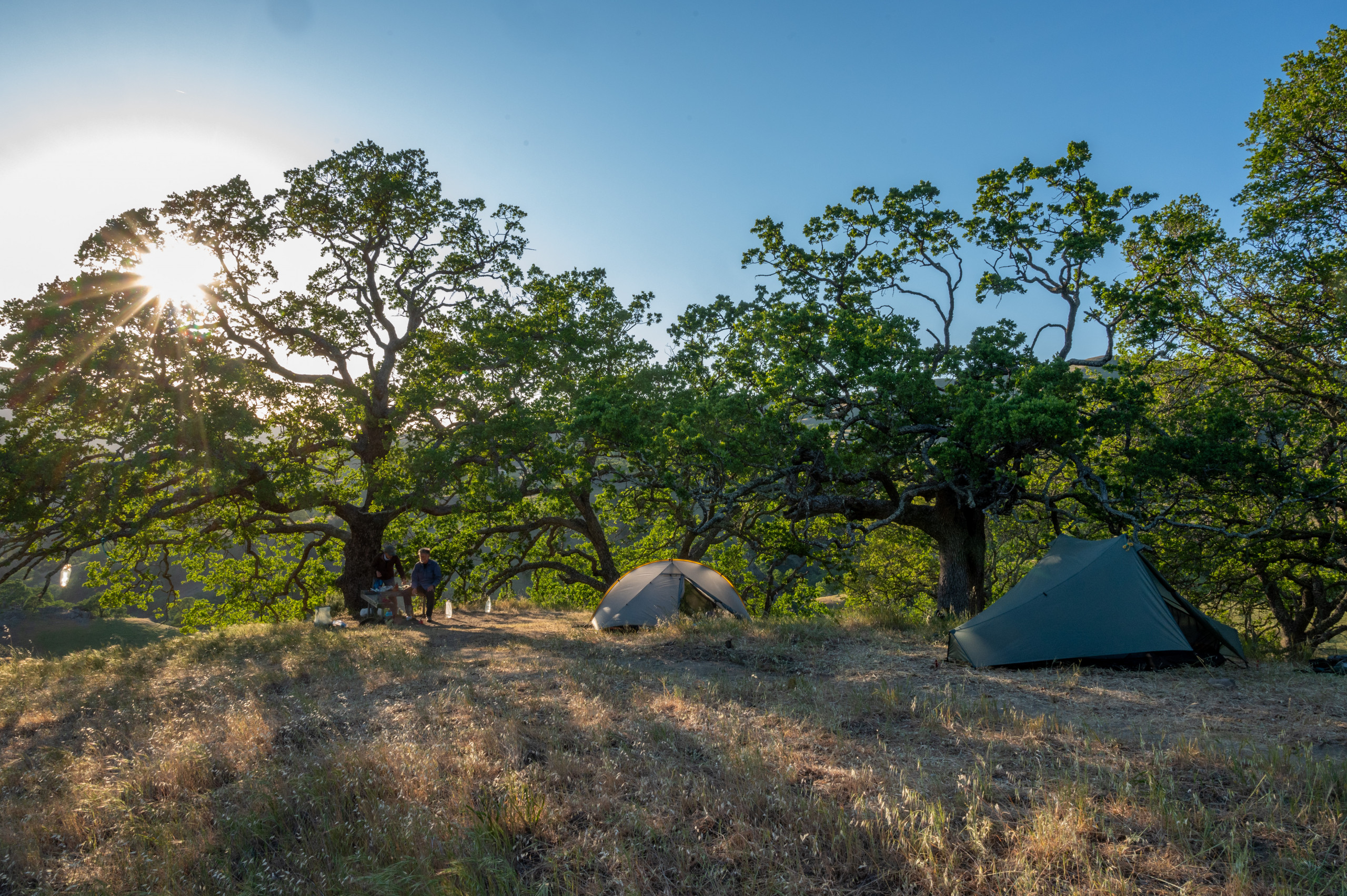
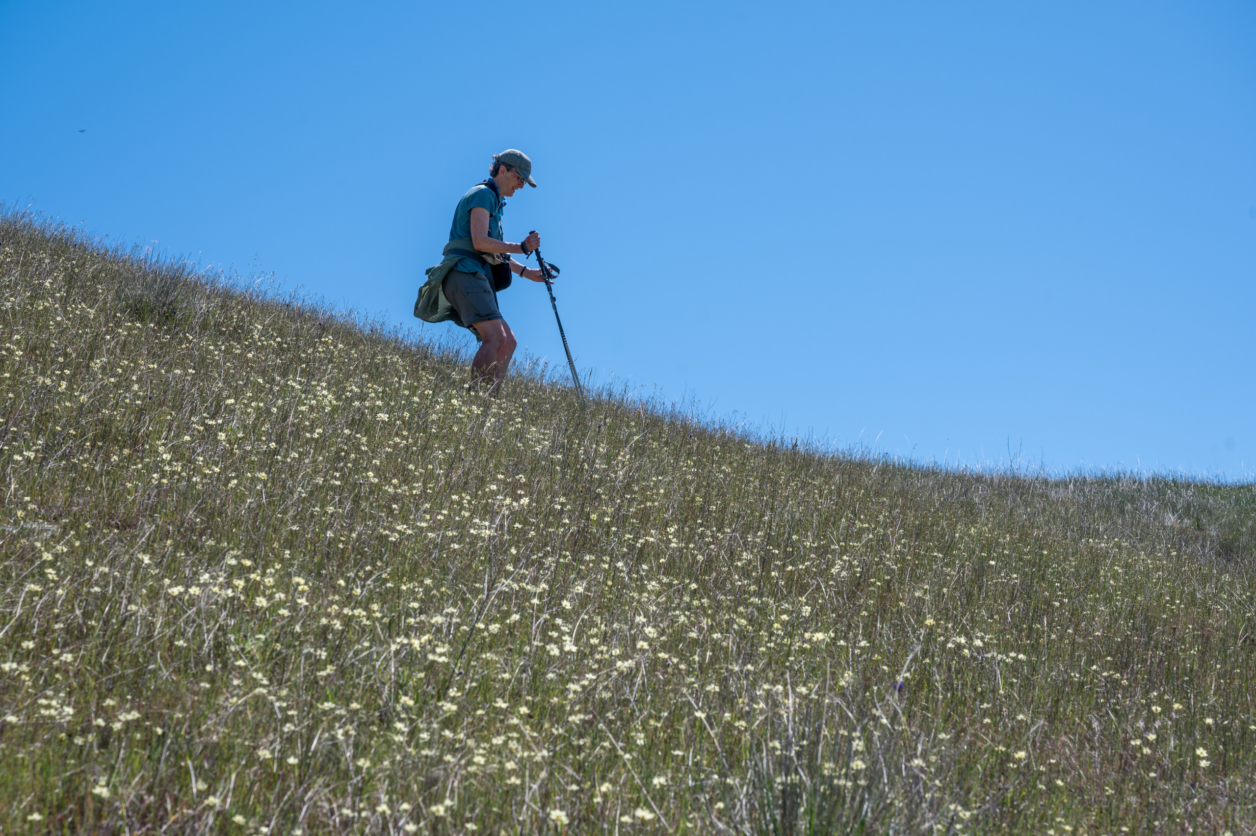
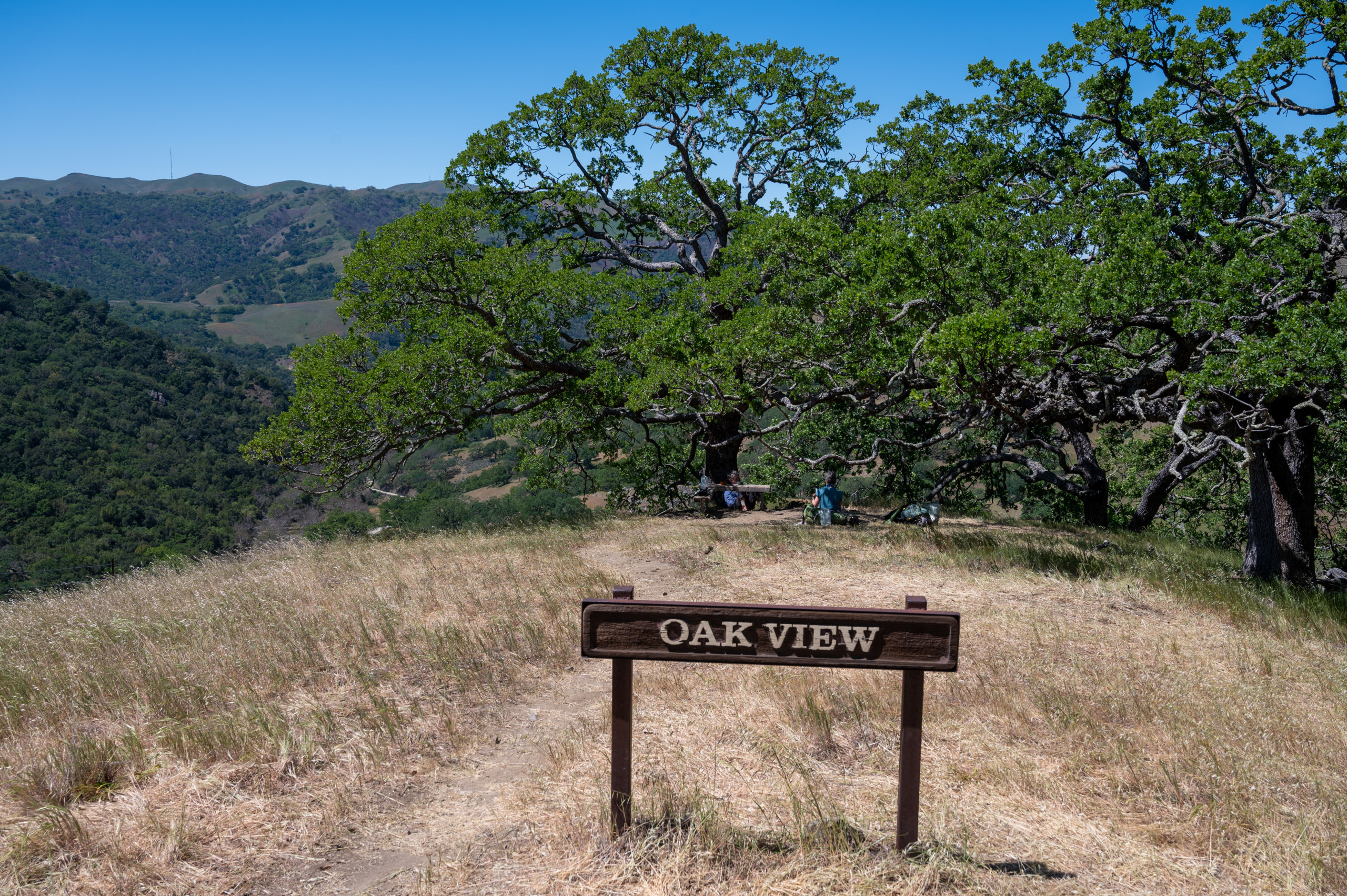
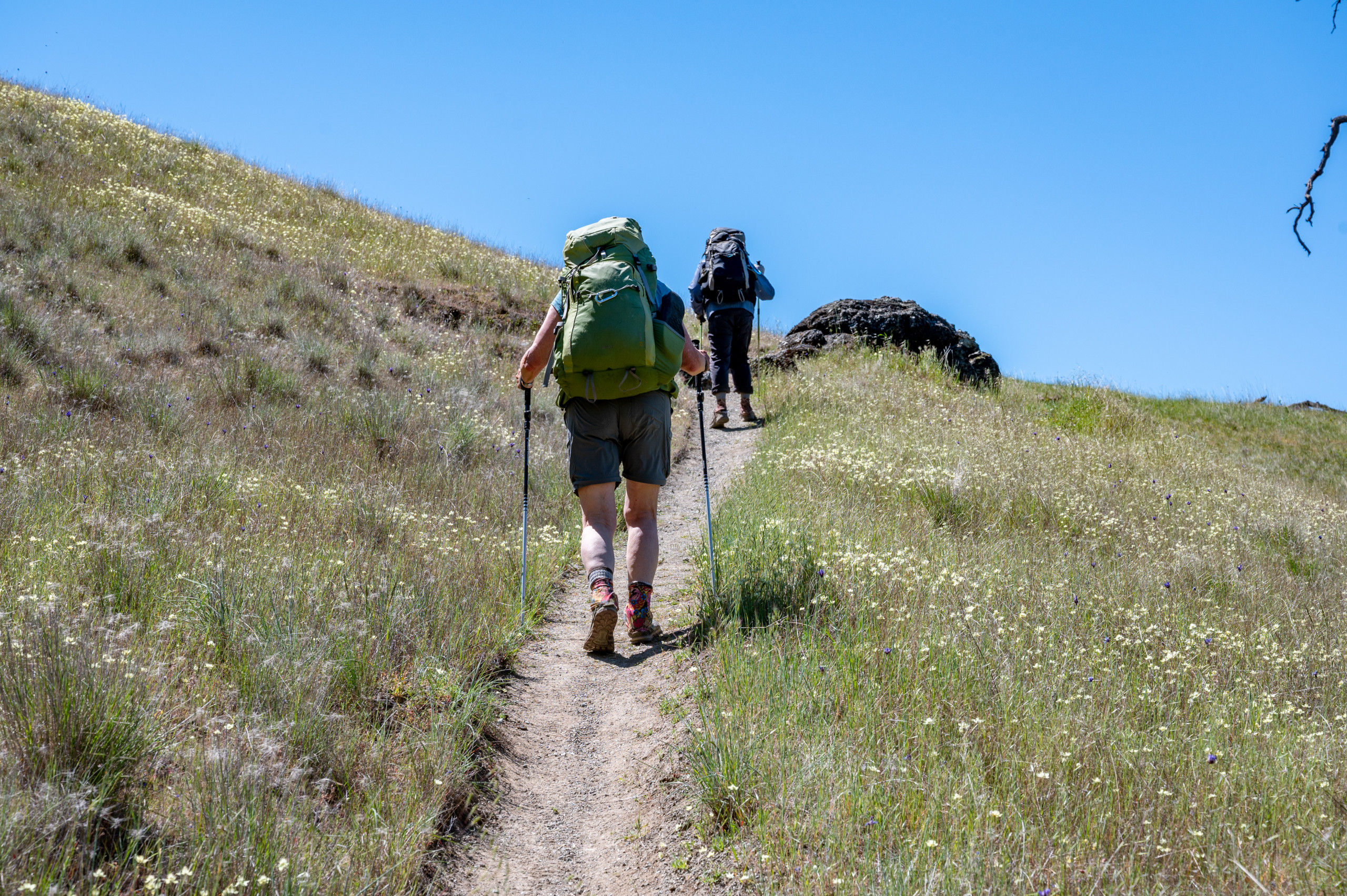
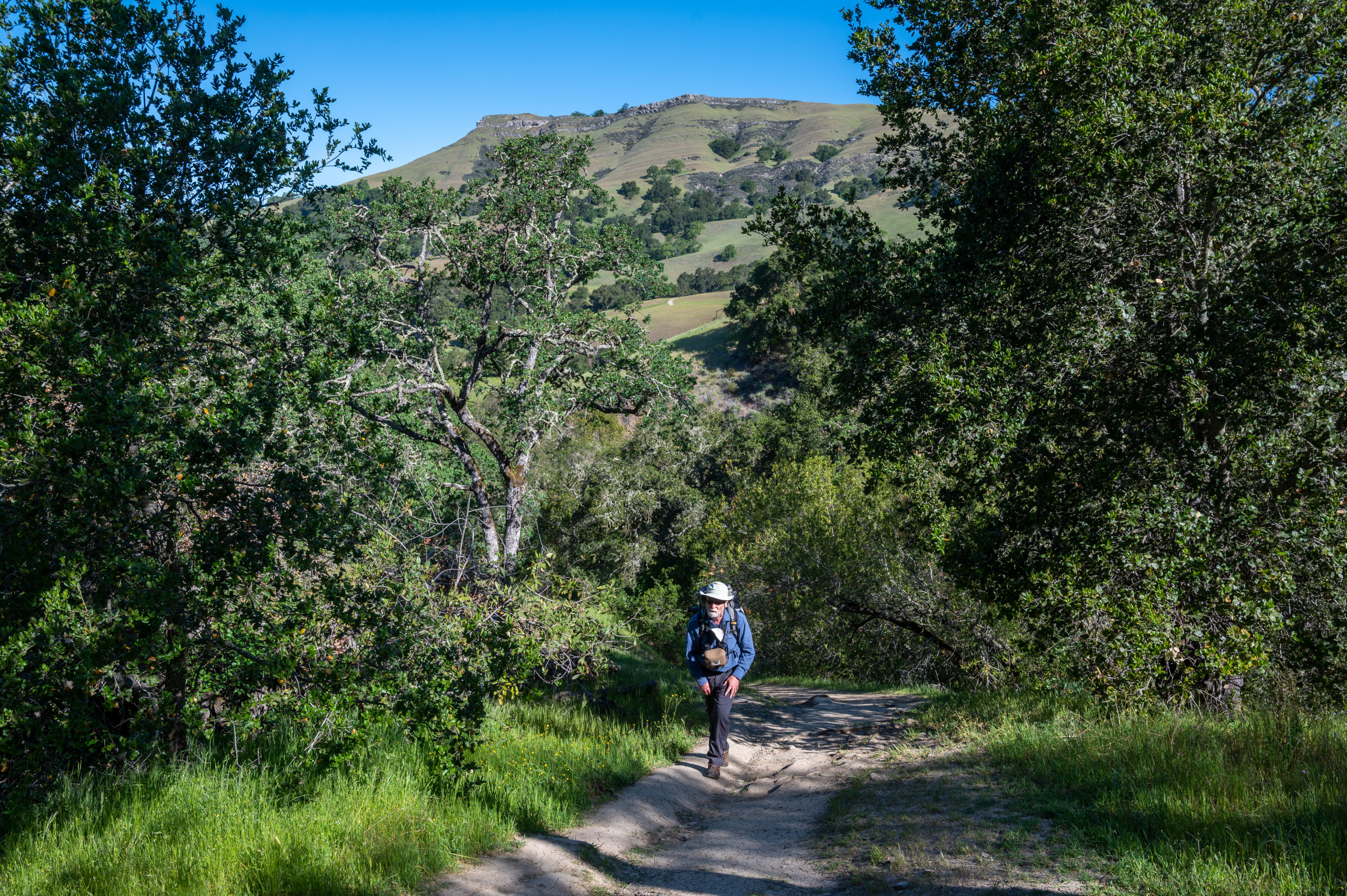
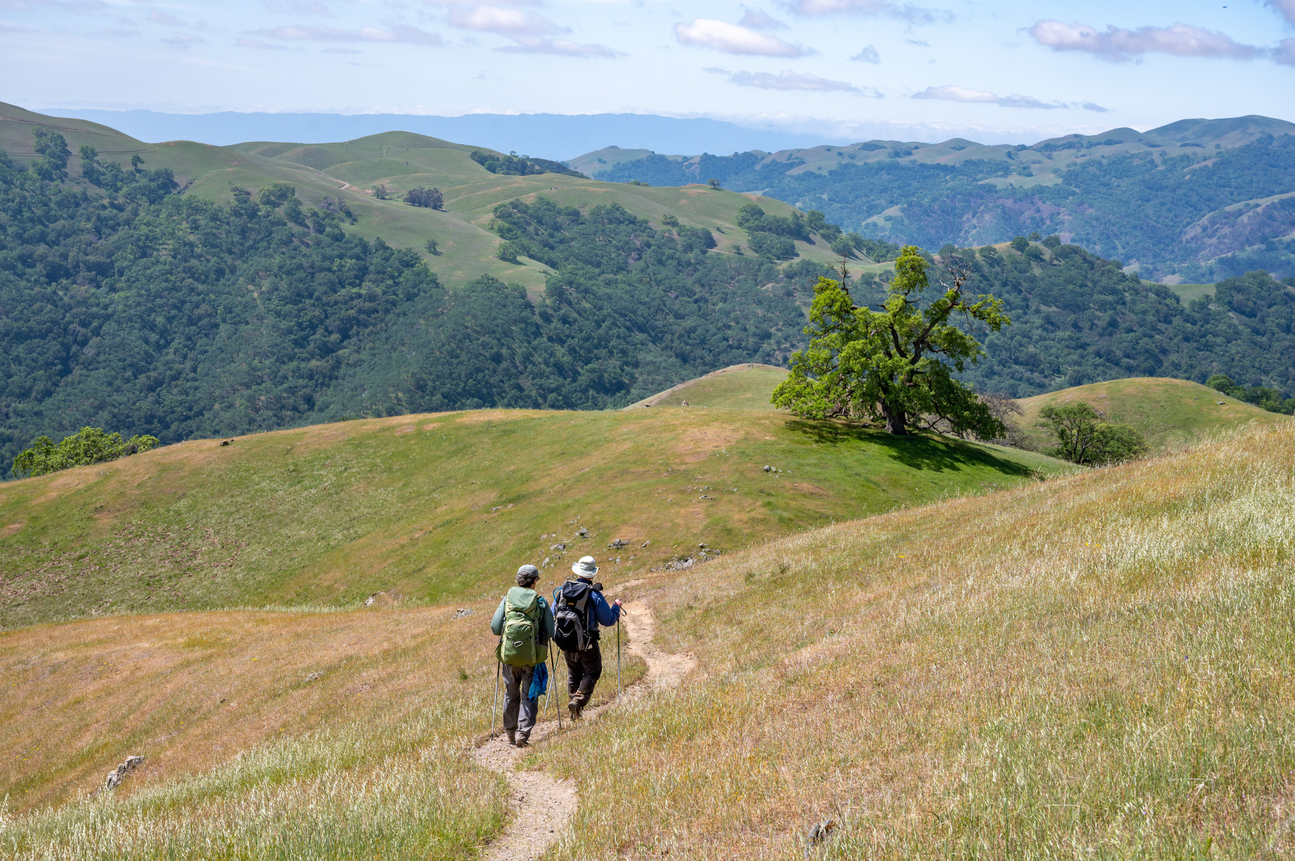
The Bay Area’s increasingly connected parklands and long regional trails offer an unusual opportunity in an urban area: backpacking and isolation an hour from home.
On the west side of the Diablo Range, the 28-mile Ohlone Wilderness Trail crosses four East Bay Regional Park District preserves, along with some San Francisco Public Utilities Commission watershed lands—a total of 54,000 acres or 84 square miles.
The trail starts at Mission Peak Regional Preserve near Fremont, heads east through the Sunol and Ohlone regional wildernesses, and then veers north to its terminus at Del Valle Regional Park south of Livermore.
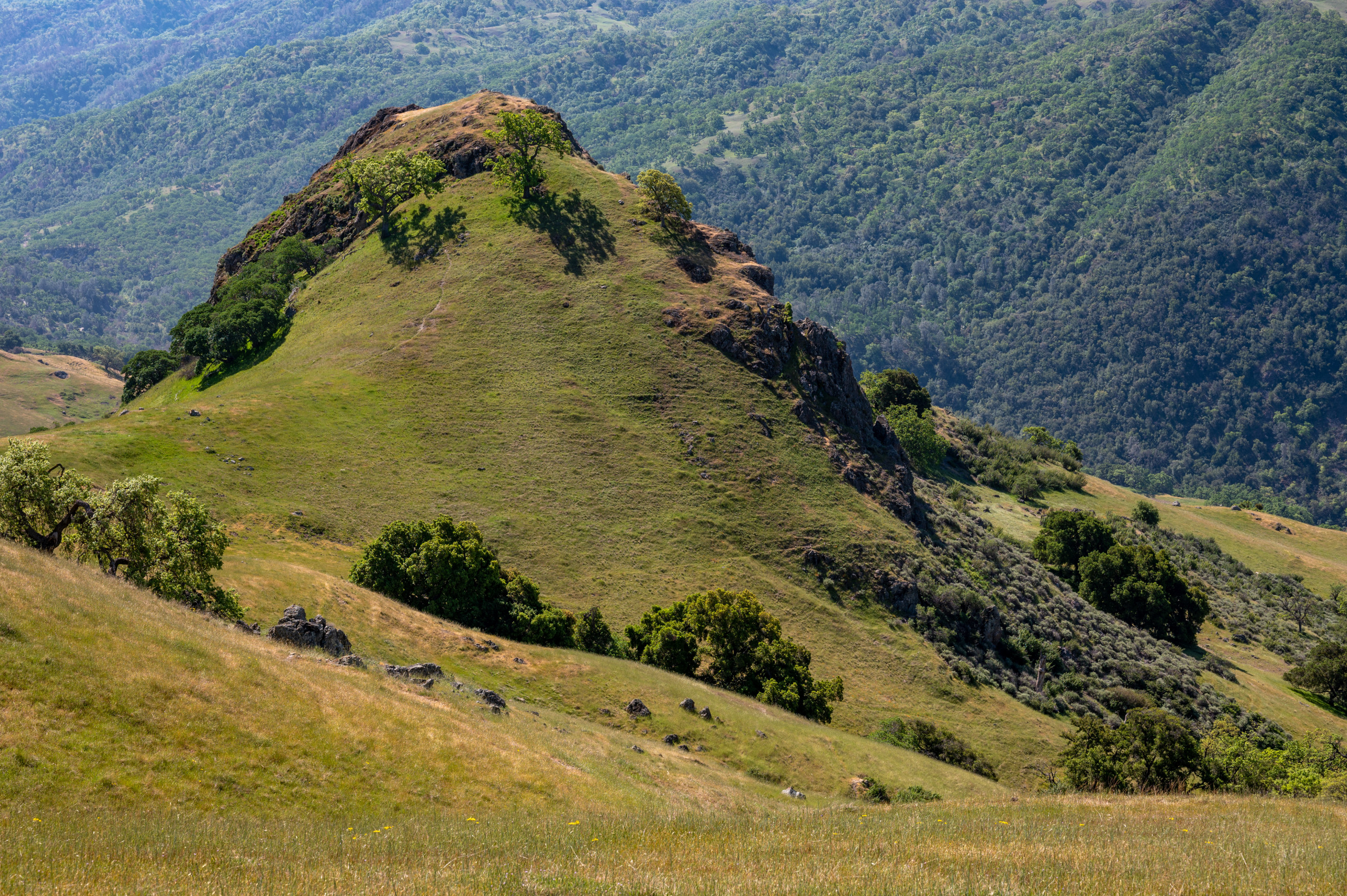
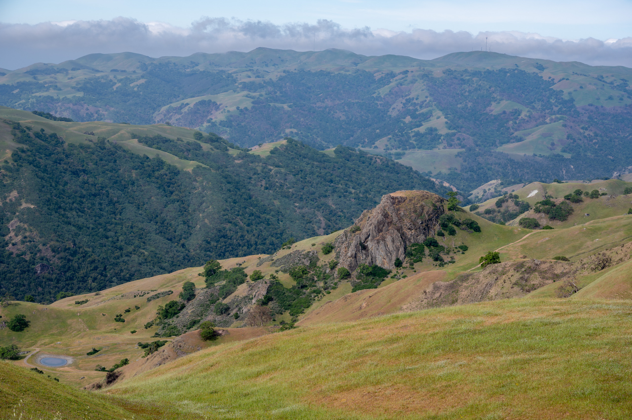
It’s a strenuous up-and-down roller-coaster of a hike, with water and campsites along the way, passing within a mile of the highest point in Alameda County, 3,843-foot Discovery Peak.
Though the SCU fire touched all four of those parks, the Ohlone Wilderness was hardest hit, with 4,500 acres burned. So, starting from Sunol, that’s where we headed.
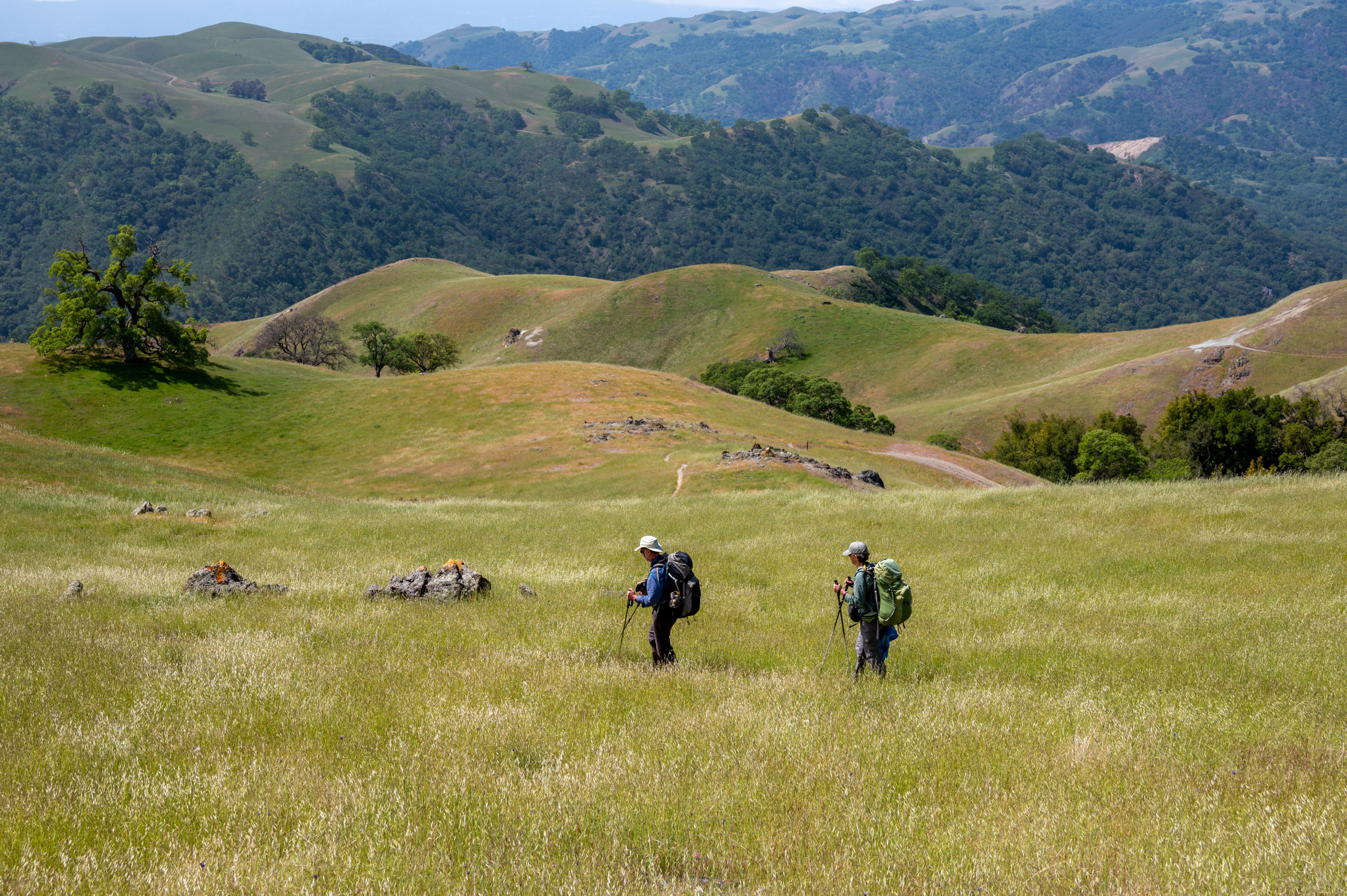
A CAL FIRE map indicated we’d hit fire footprint in three or four miles. But alas, after well over three miles, no blackened landscape emerged; no skeletal shrubs poked up; no charred soil dusted our boots.
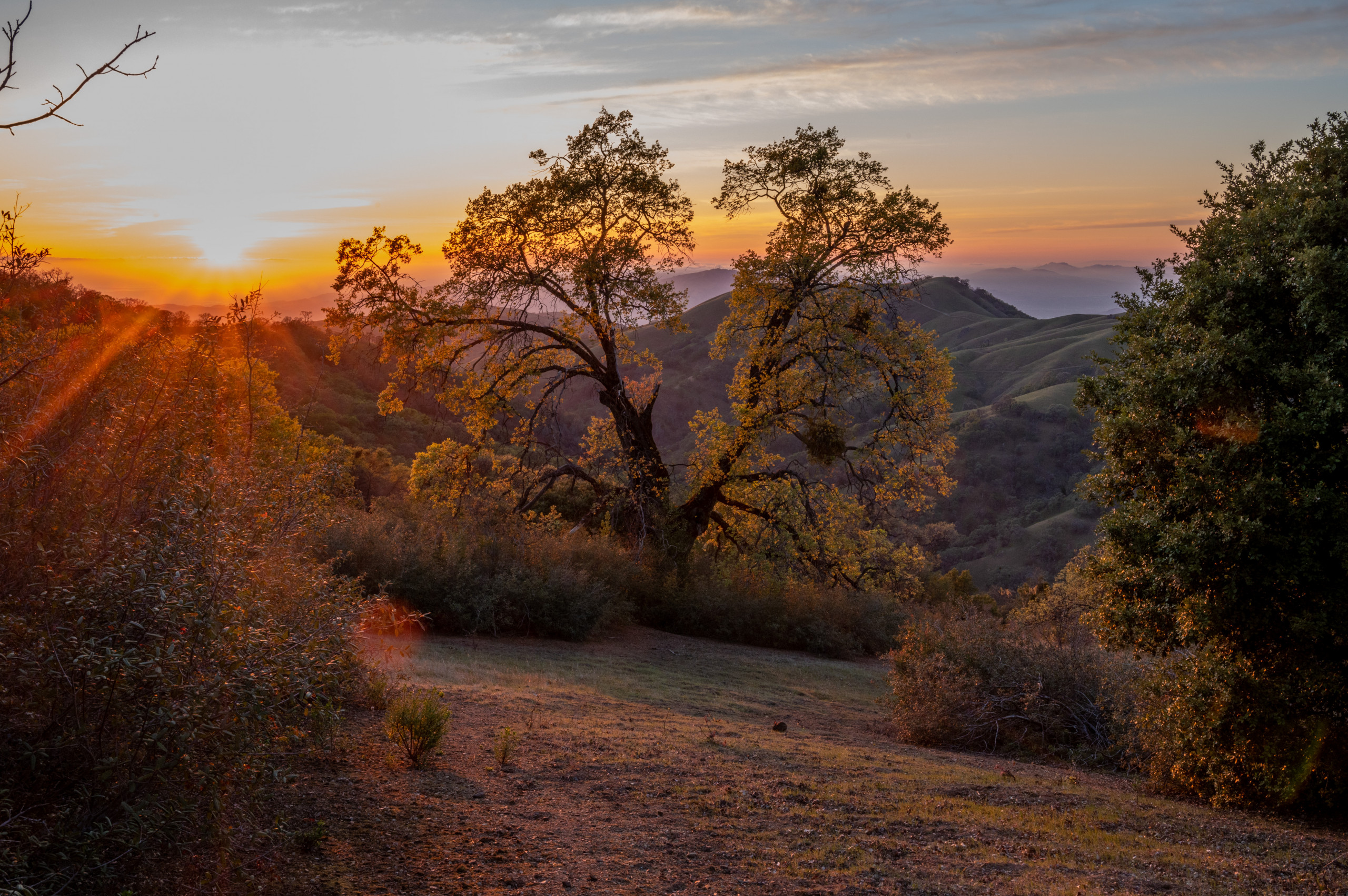
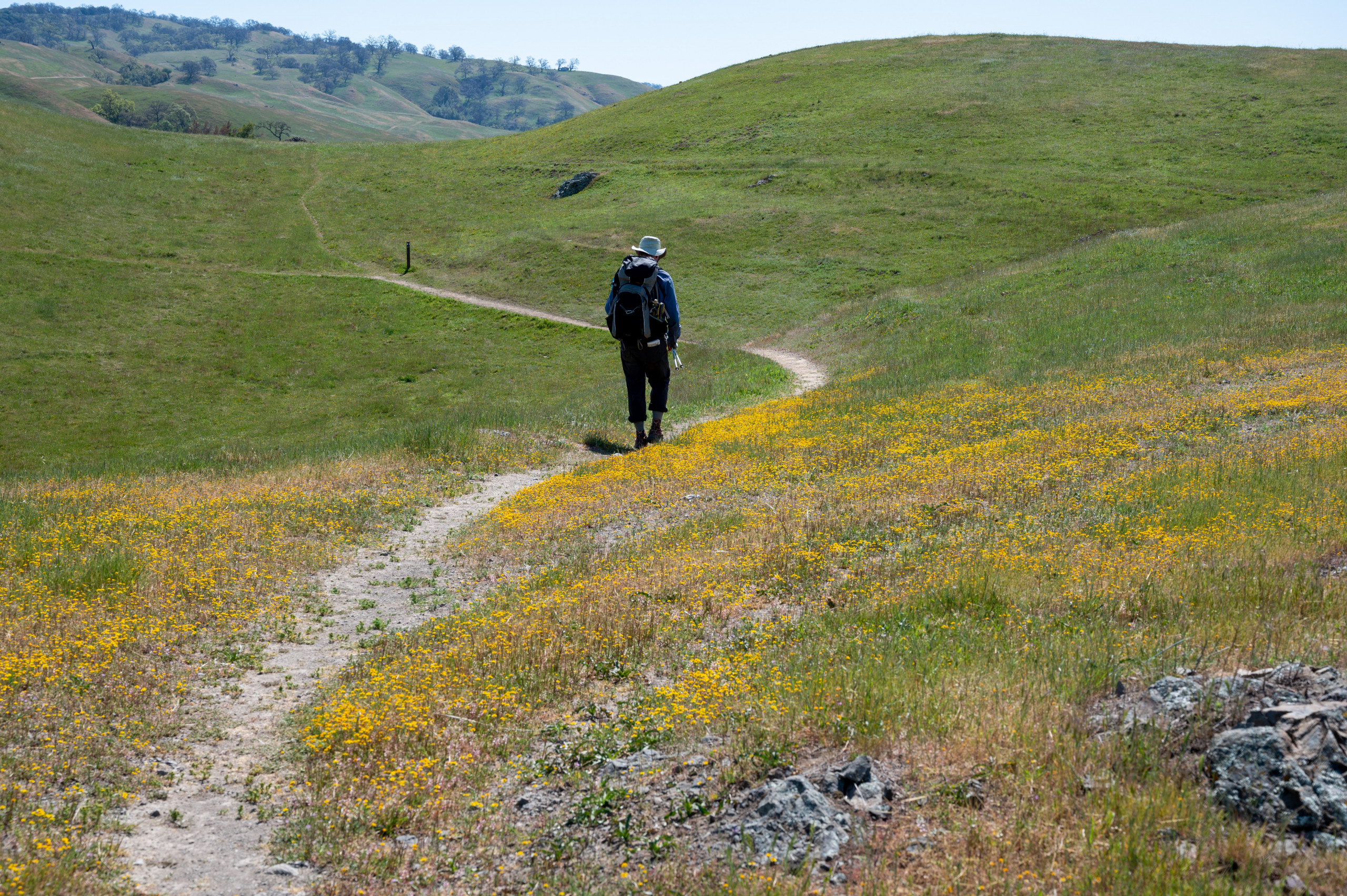
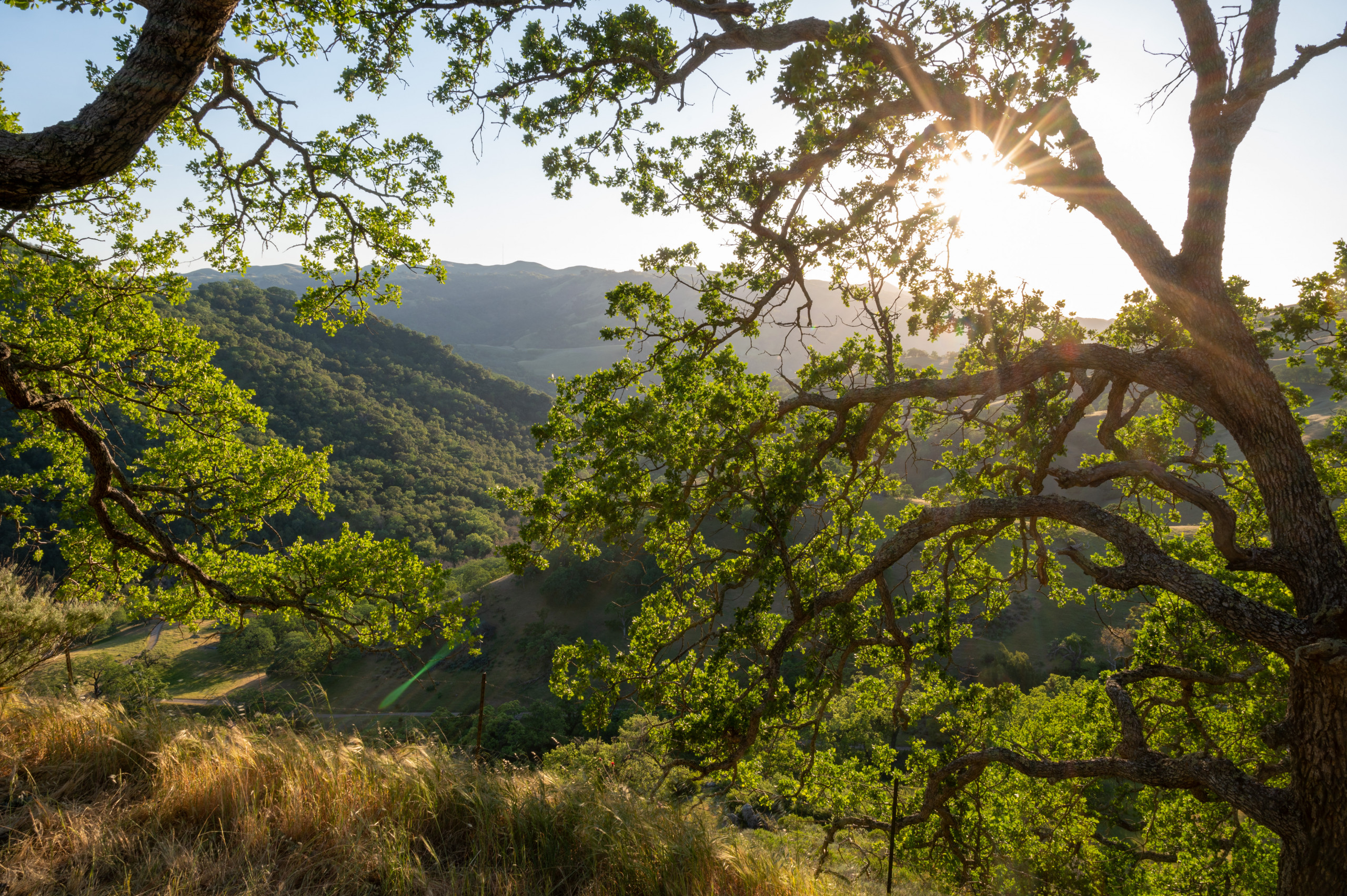
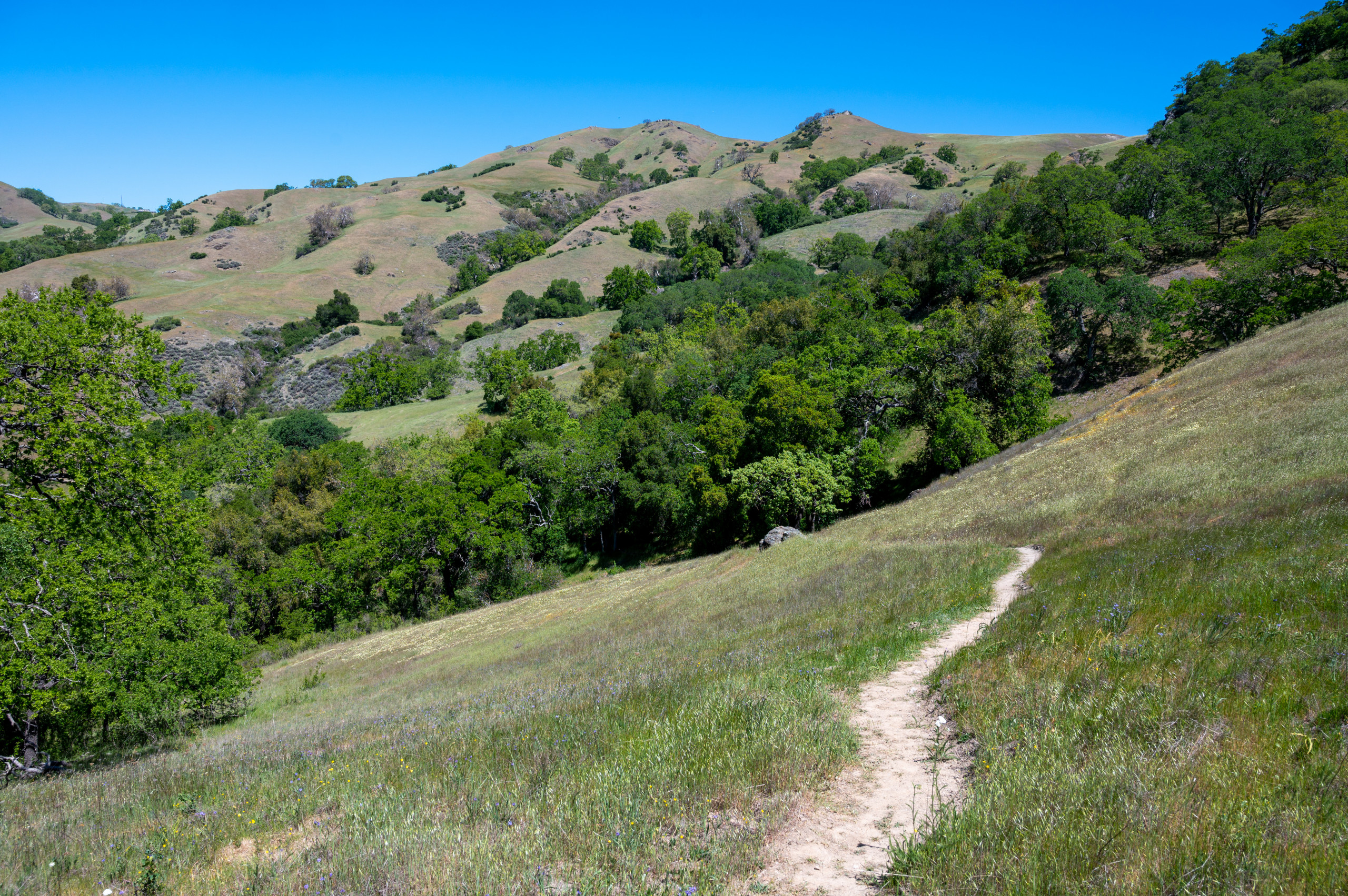
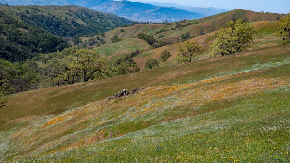
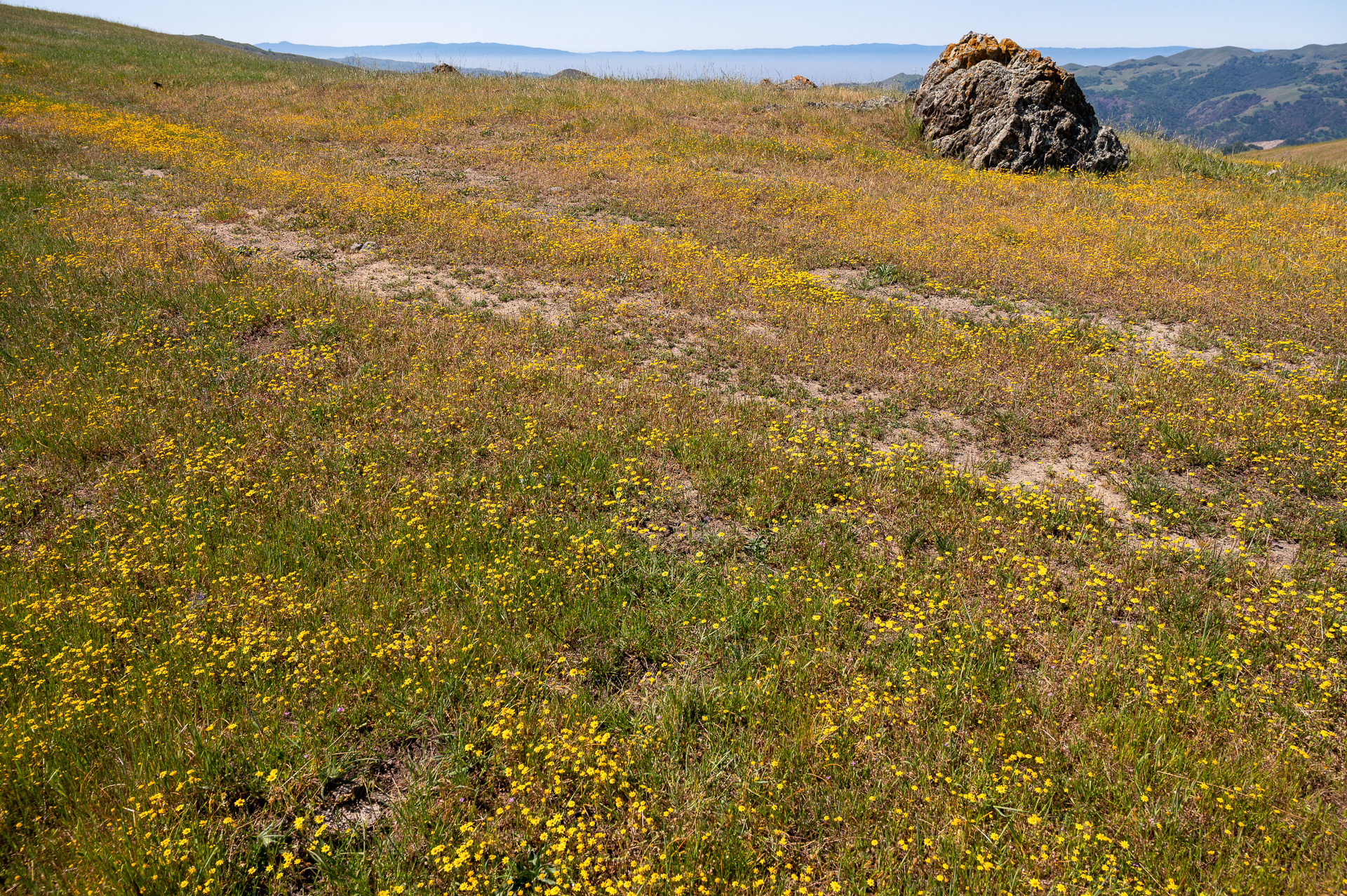
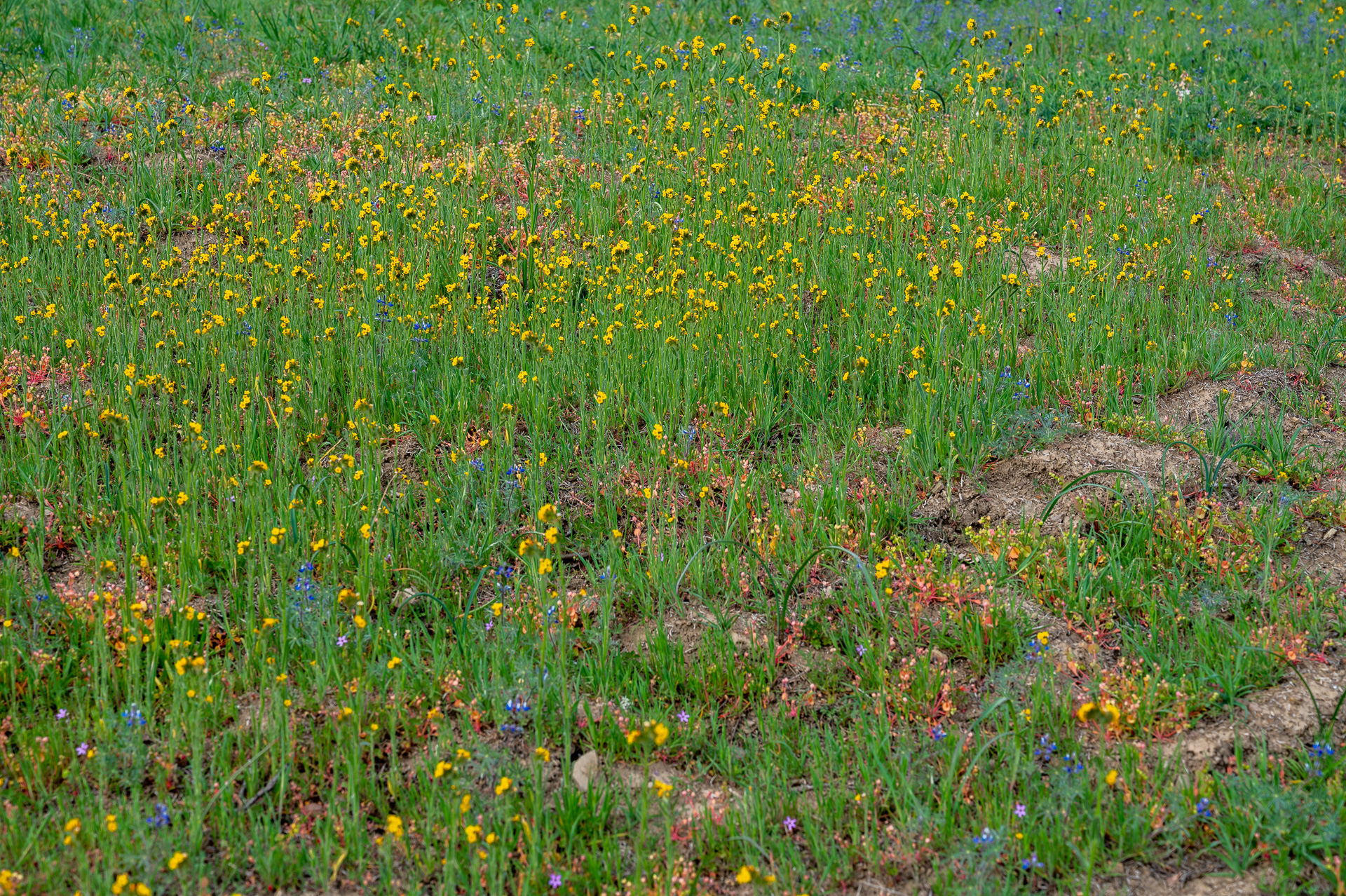
What we saw instead were acres and acres of wildflowers in serpentine grasslands. Happily for botanizers, the southern third of the Ohlone Wilderness trail is underlain by serpentine soils, a relict of the coast ranges’ oceanic phase when sea floor crust subducted under the North American plate.
The chemistry of serpentine soils makes them inhospitable to weedy non-native plants. Native plants, on the other hand, can thrive in them. And they often put on a bold springtime show, even in the absence of fire.
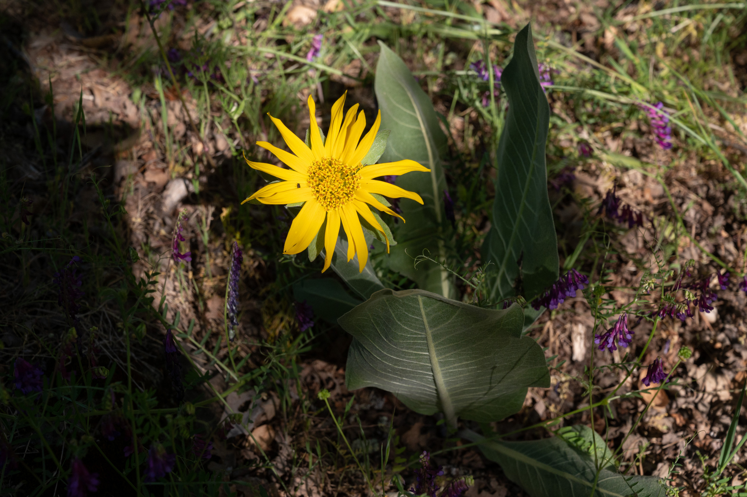
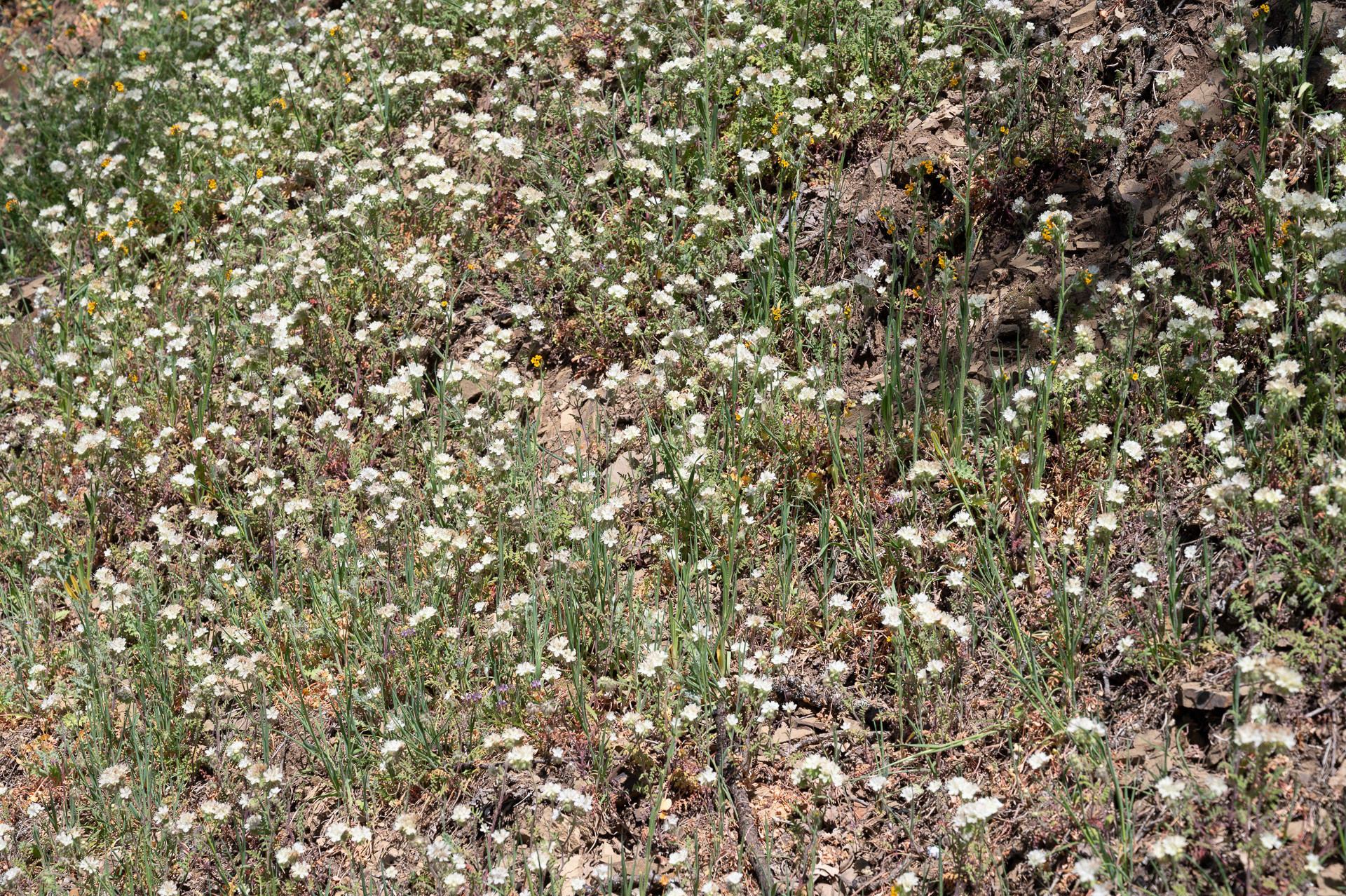
Goldfields
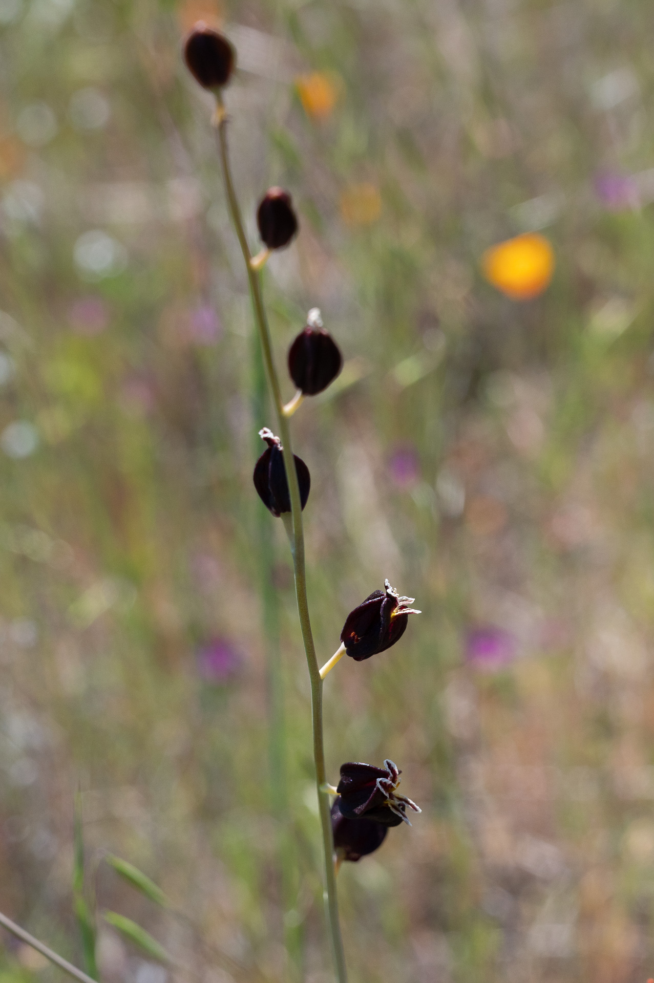
Jewelflower
In another area unaffected by the fire near shady Alameda Creek, we found California gilia and white fairy lanterns. Obviously the drought wasn’t going to spoil all our fun.

White fairy lantern

California gilia
Entering the Burn
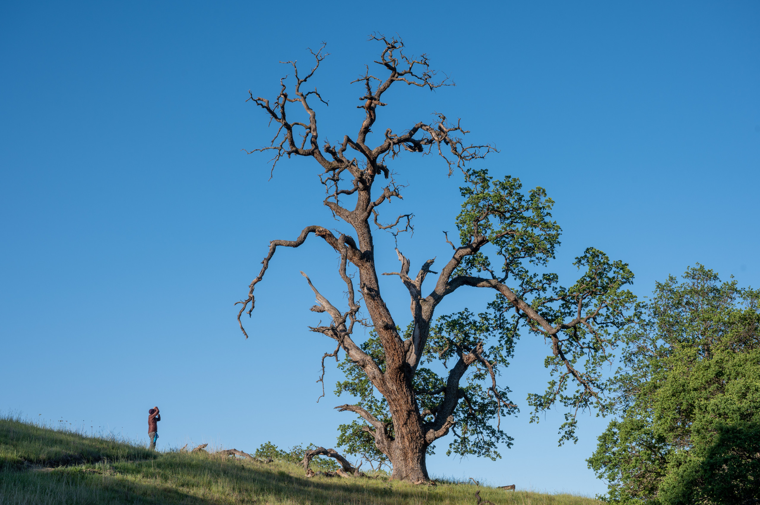
After miles of untroubled scenery, we finally spotted a telltale oak. Bright green at a distance, the trunk was black and the leaves on the lower limbs were toasted brown.
The effects were probably unremarkable to the average hiker—just a few dead limbs on an otherwise healthy tree. But we took a deep breath. We had entered the domain of the massive SCU fire, whose mysteries we would explore for the next two days.
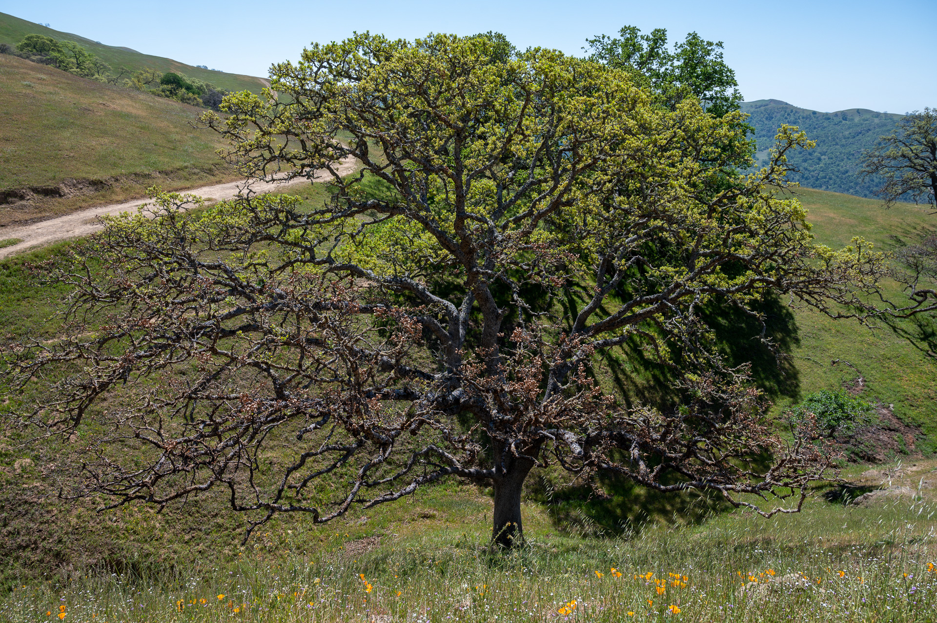
Scorched oak
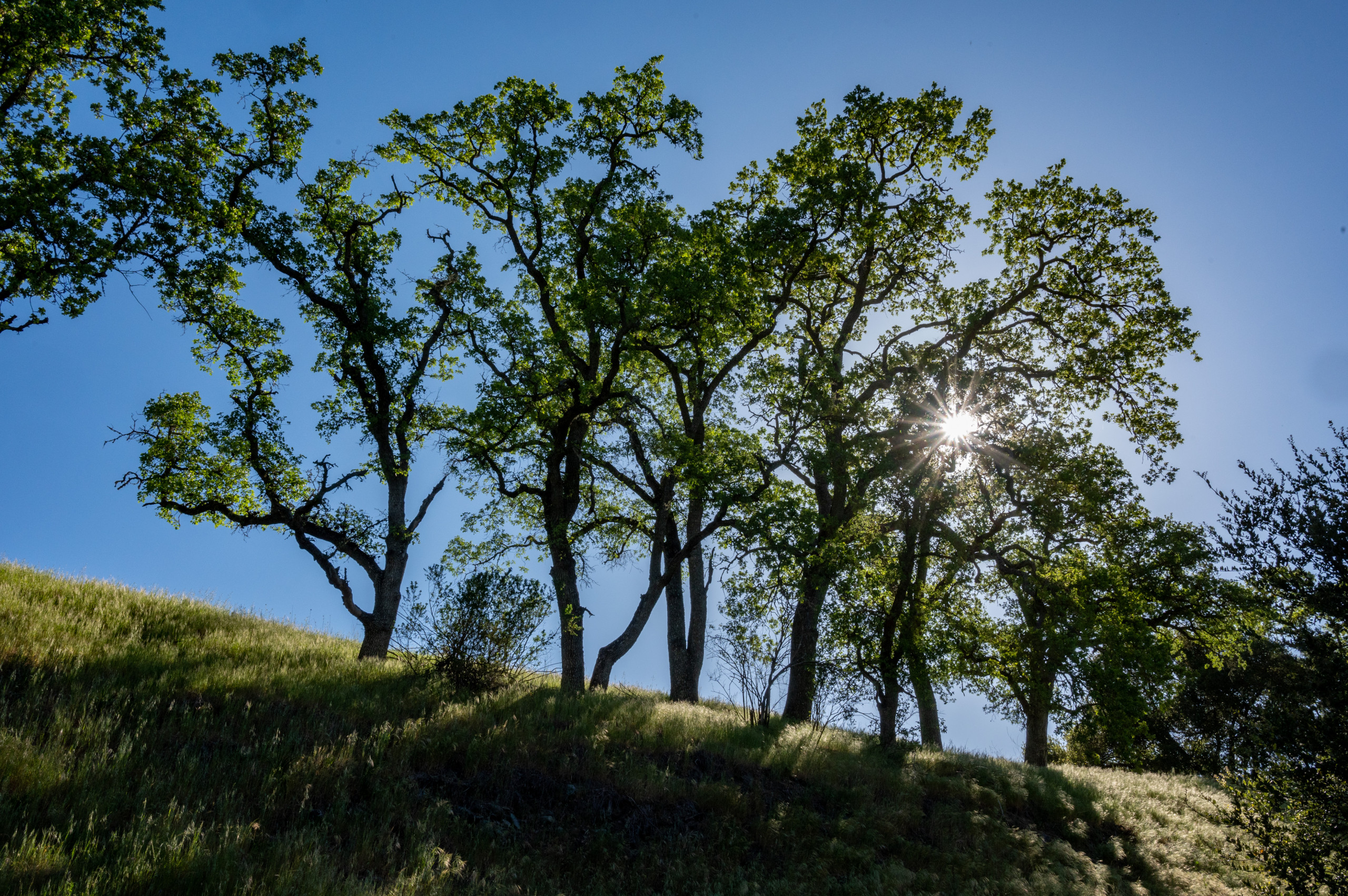
Most of the area’s oaks had fared well. Some were entirely free of fire scars. Others had blackened trunks and branches, but green growth above.
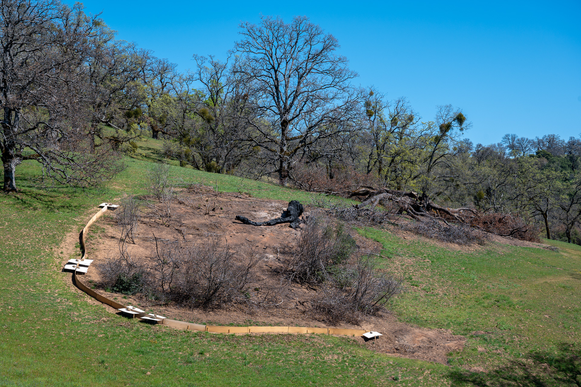
In a few places, though, big oak limbs and even whole trees were incinerated. All that remained in those hotspots were tree-shaped patches of white ash or bare soil, ghosts on the ground, the strongest signature of fire we’d seen yet.
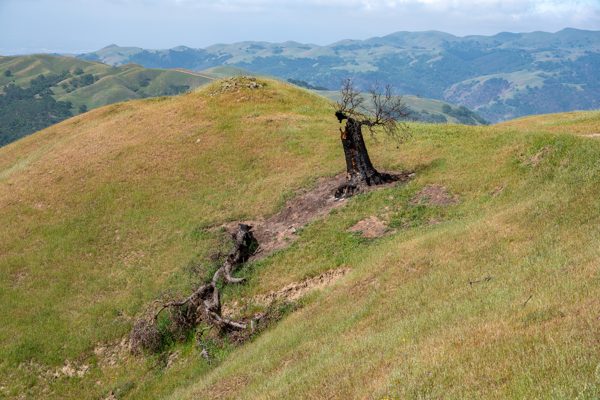
Dead oaks and ghosts on the ground
Abundant Birds
Just after entering the burn, we looked up and saw a golden eagle. A few minutes later, a peregrine falcon zipped by. An auspicious start! Acorn woodpeckers were among the most abundant species—and definitely produced the noisiest cackles.
Not to mention numerous band-tailed pigeons, red-tailed hawks, a western tanager, ash-throated flycatchers, black-headed grosbeaks, western bluebirds, rock wrens, lark sparrows, and meadowlarks. Adding it all up (as birders often do), we saw 38 species in the burn.
None of them depend on fire, but their presence demonstrated the landscape’s resilience, and they filled each mile with bird song and delight.
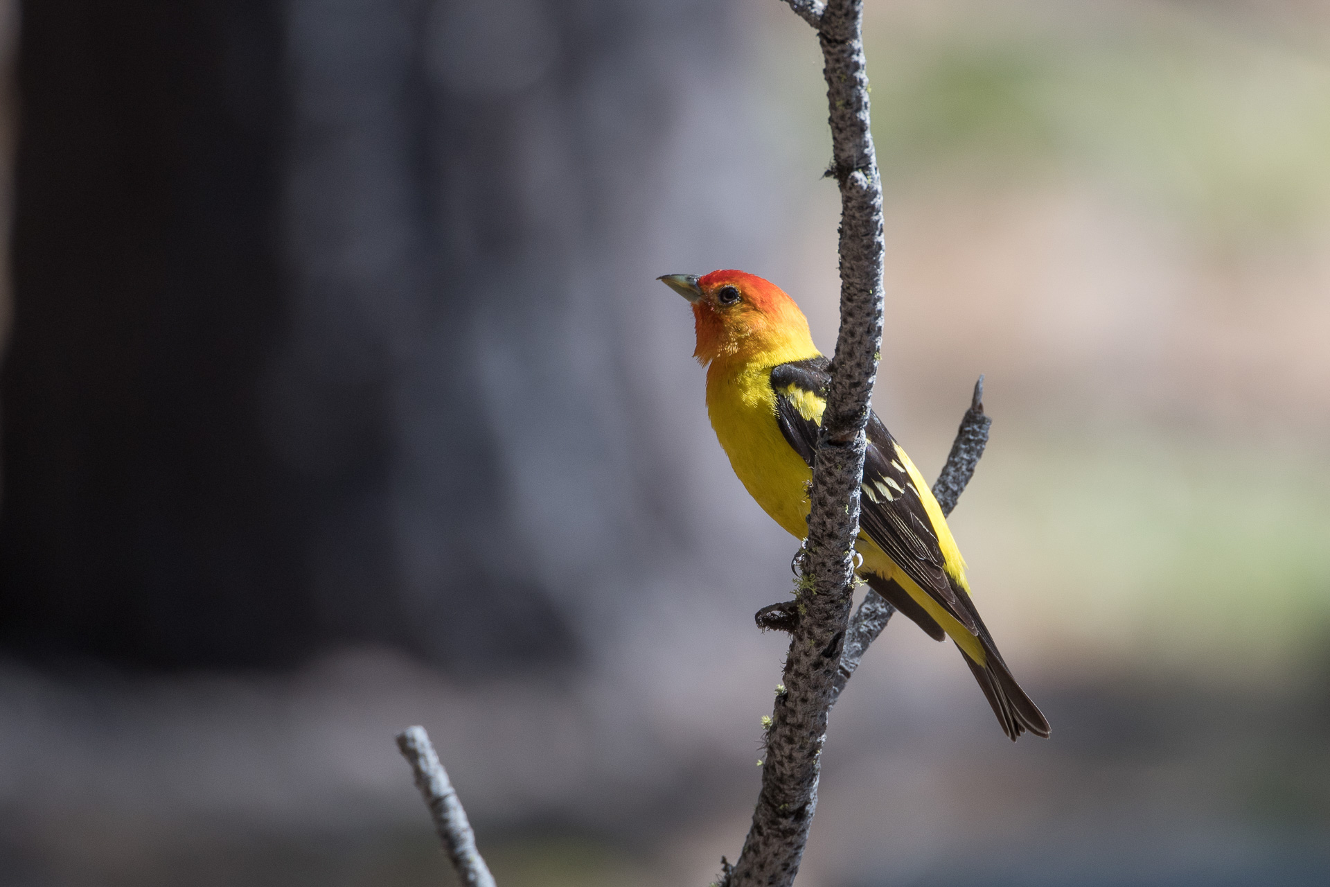
Western tanager

Western bluebird
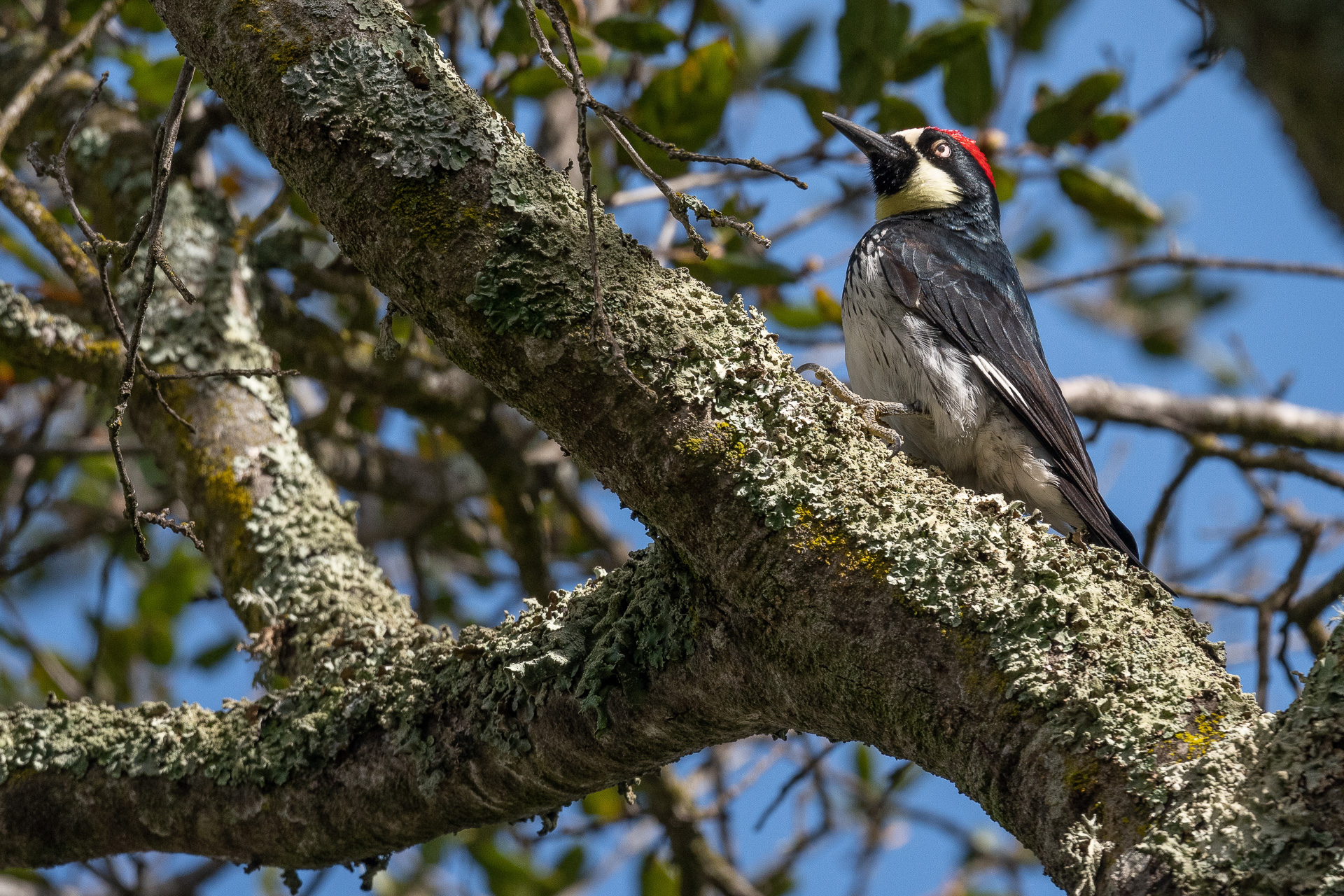
Acorn woodpecker
Scorched Shrublands
The scant shrubland in the Ohlone Wilderness is mostly a plant community botanists call “soft chaparral,” or coastal sage scrub. It’s more dependent on fog than the shrublands known as “hard chaparral,” which are dominated by chamise, ceanothus, manzanita, or scrub oak.
Coastal sage scrub is shorter and more open than chaparral, with aromatic species like California sagebrush and black sage. It’s eye-catching in spring, with the gray-green leaves of the sage and orange blossoms of bush monkeyflower. And it’s nutritious for wildlife, thanks in part to toyon, coffeeberry, and elderberry.
Outside the fire zone, we admired the richness that sage scrub added to broad swaths of grassland and oaks. Inside the fire zone, we puzzled over its lack of regeneration. The chaparral habitats we’d visited elsewhere in the Diablo Range were way ahead of these patches of bare earth and black skeletons. We vowed to come back later for further study.
Unburned sage scrub
Burned sage scrub
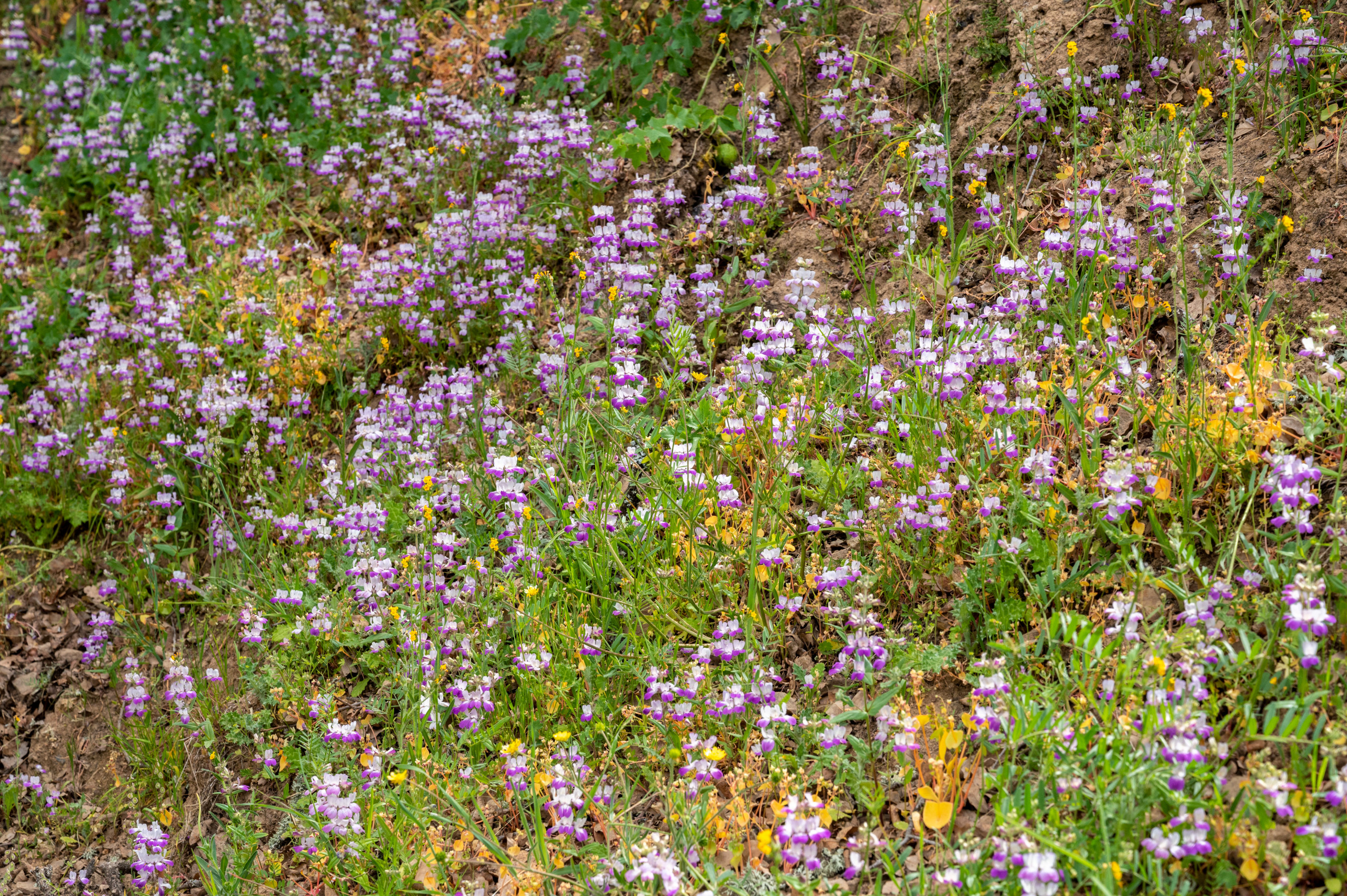
Gorgeous Grassland
Grassland and streamside areas in the burn were gorgeous. In the absence of trees, it was hard to see any difference between them and the unburned places we had passed on the beginning of our hike.
Species such as poppies, blue dicks, popcorn flower, baby blue eyes, phacelias, fiddleneck, and Collinsia were blooming in profusion.
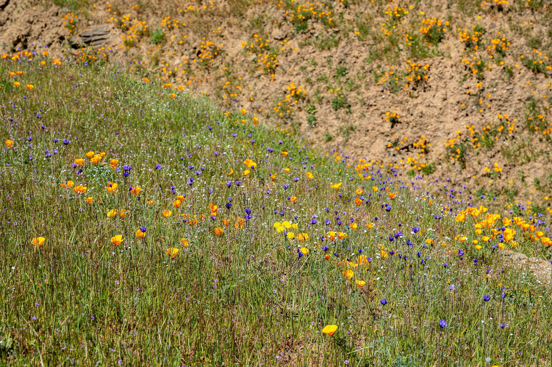
Poppies and blue dicks

Popcorn flower
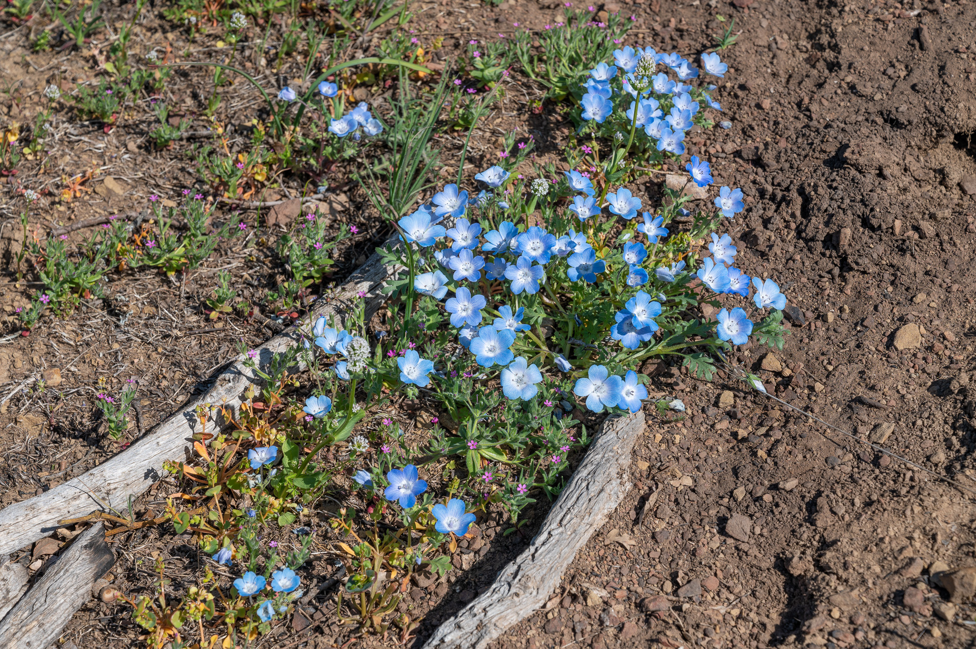
Baby blue eyes
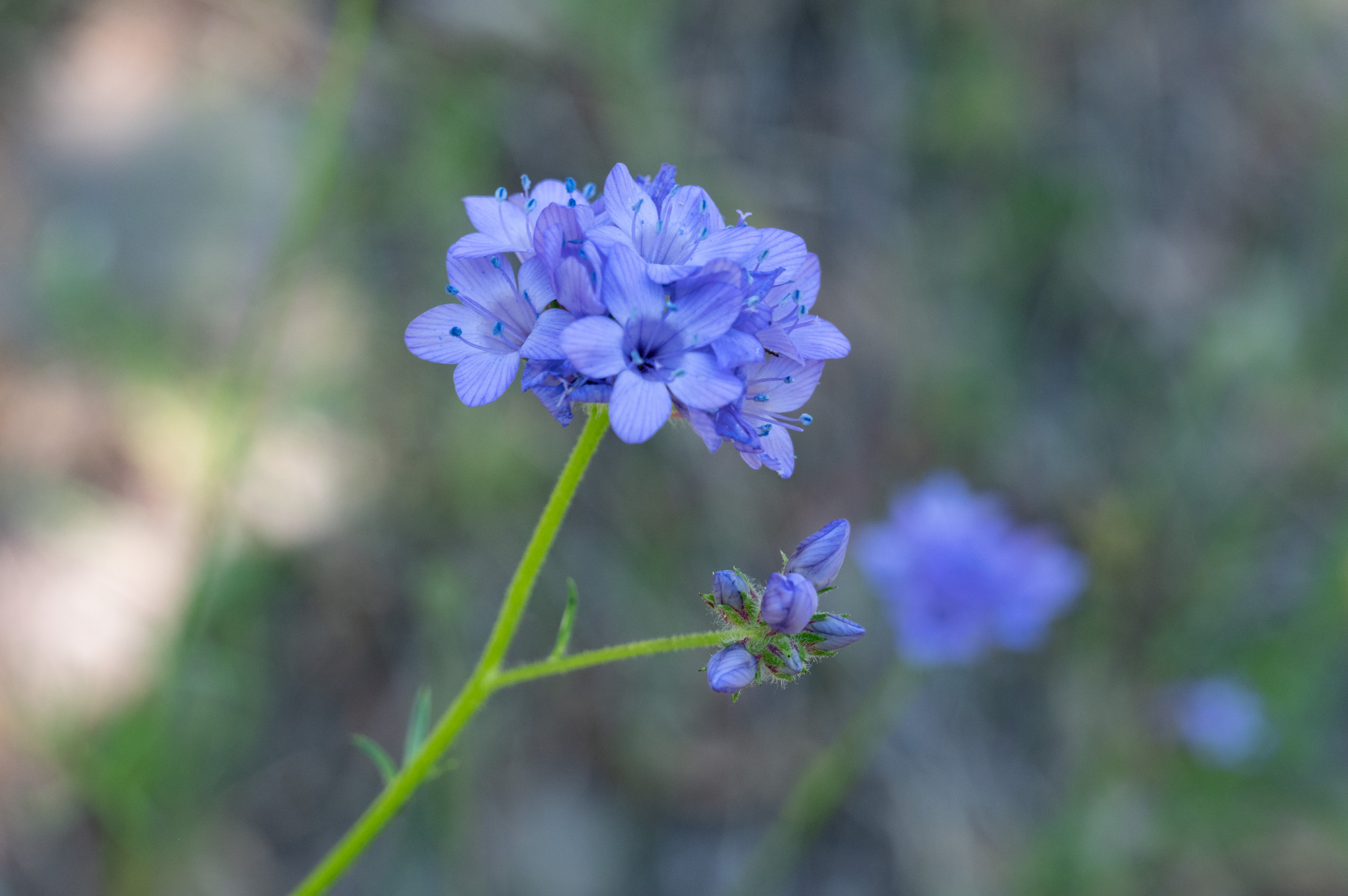
Phacelia
Fiddleneck

Collinsia sp.
In Praise of Stock Ponds
The Ohlone and Sunol wildernesses are still wild enough to host the overlapping territories of nine mountain lions, according to East Bay Regional Park District biologist Steve Bobzien. In our brief visit, we didn’t see any signs of these top predators, but we did see evidence of feral pigs, black-tailed deer, California ground squirrels, coyotes, and foxes.
Our best wildlife sightings, however, came while walking around the watering holes that ranchers have dammed and dug for cattle and sheep, stock ponds. The first one we investigated yielded a killdeer and a solitary sandpiper.
That seemed cause for celebration: shorebirds in the burn! It was also a reminder that, in this time of climate change, water sources—springs, creeks, and stock ponds—are increasingly important for wildlife.
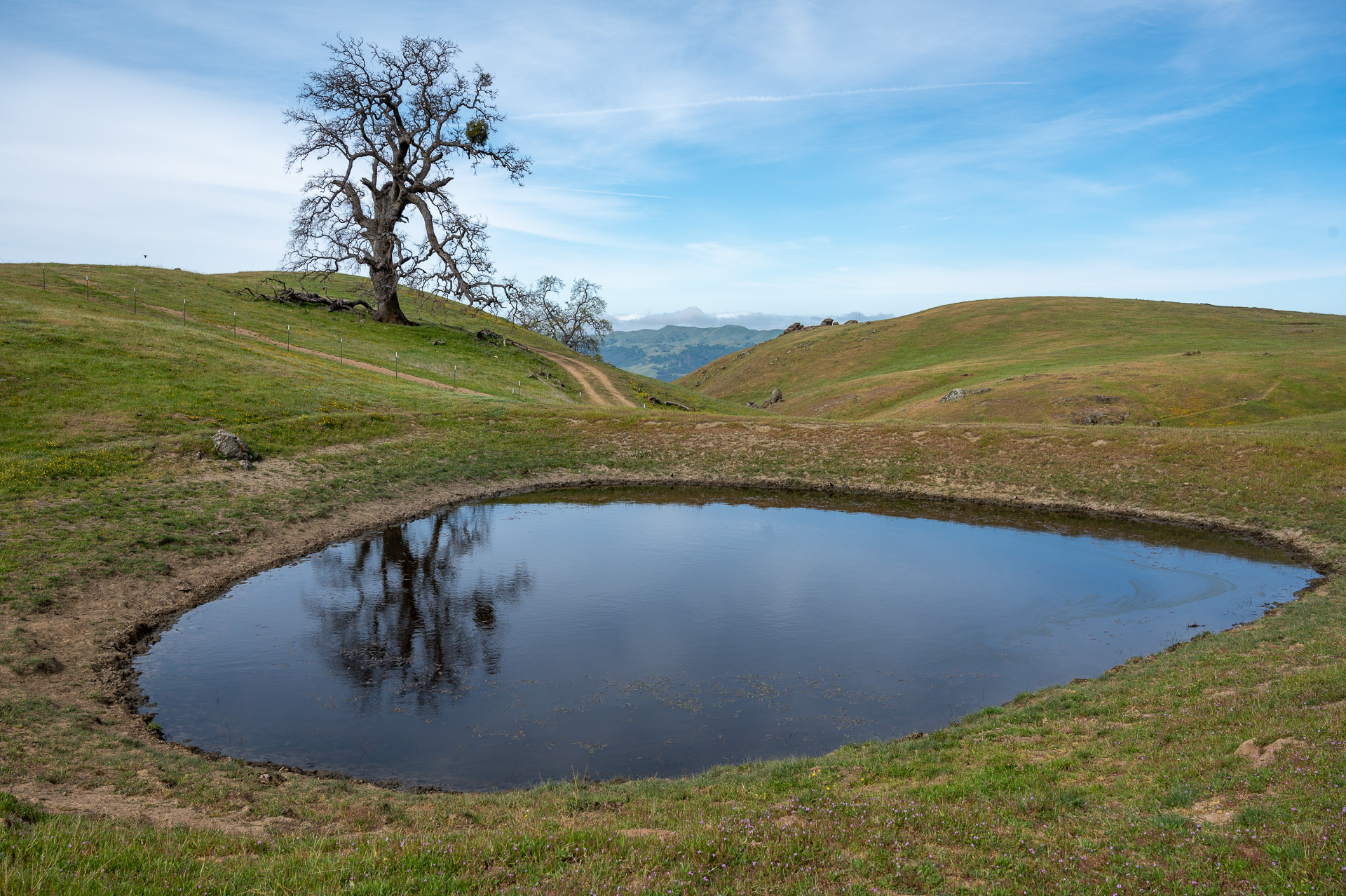
Rattlesnake Pond
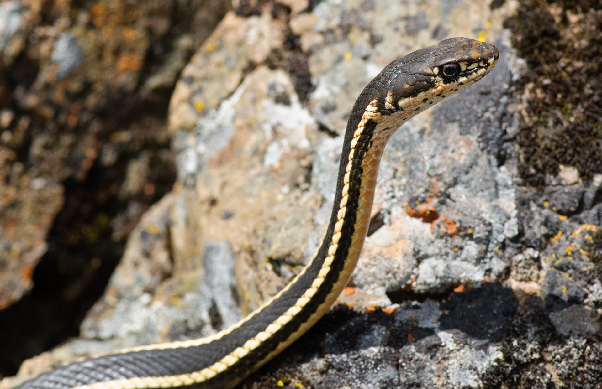
Our second pond also had a killdeer—and what looked like a stick poking out in the middle, which turned out to be a pond turtle’s head. As we walked around the pond’s muddy edge, two Diablo Range garter snakes streaked into deeper water.
We sat down to marvel at their moves, and Scott spotted a California newt, a red-legged frog, and a few dozen damselflies. The fire had apparently not harmed these creatures either.

California red-legged frog
Heading back to Sunol, we saw wildlife biologist Amanda Murphy bouncing along in her pickup truck. She’s busy documenting the survival of Alameda whipsnakes, kingsnakes, whiptail lizards, alligator lizards, gopher snakes, mice, and other vertebrate species in the burn. (More on her work in a future episode of “Diablo Range Revealed.”)
She dubbed our crowded puddle “Rattlesnake Pond,” because she almost always sees California’s only poisonous snake out there. We had lots of luck that day, but were not that lucky.
Alameda whipsnake
A Healthy Restart
In short, the 2020 SCU fire in the Ohlone Wilderness was far from the “devastating” event we read about in the media last fall. The air pollution from the fires was a temporary health hazard.
Some foothill pines and sycamores died, and we’re still not sure what’s going to pop up in a smattering of bare areas (weeds? fire-following species? no change from before?).
But the fire was clearly giving grasslands, streamside areas, and probably coastal sage scrub a healthy restart by clearing out dead and dense vegetation. In fact, the recovery was so strong in places it was hard to remember there’d been a fire at all.
Some burns we visited in the Diablo Range are healing more slowly. But in the Ohlone this spring, flowers were plentiful. Wildlife was abundant.
A treasured Bay Area wilderness was experiencing an exciting and natural rebirth. And because of the foresight of land preservation organizations, the East Bay Regional Park District, and the people who support them, we could witness the spectacle.
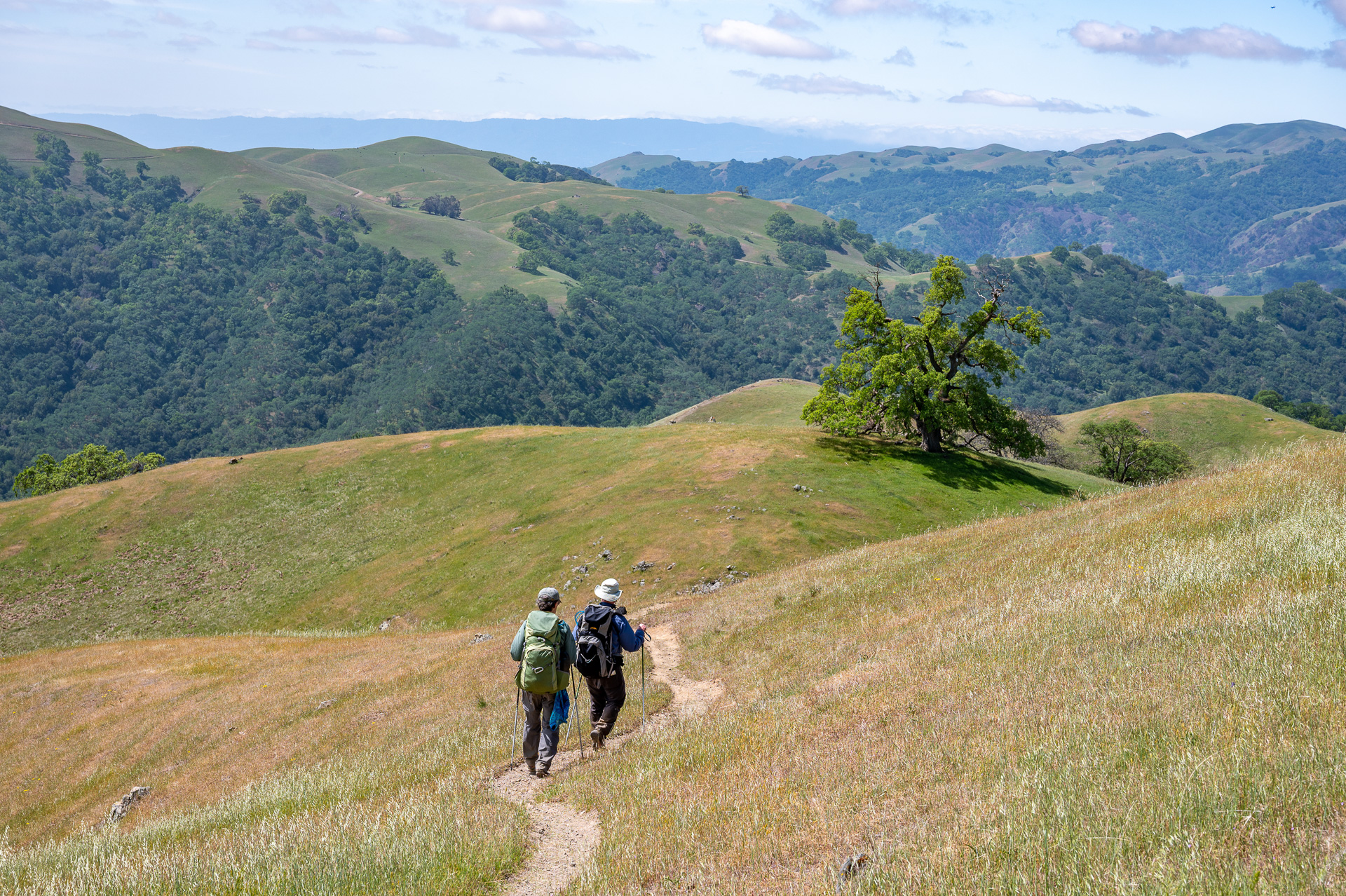
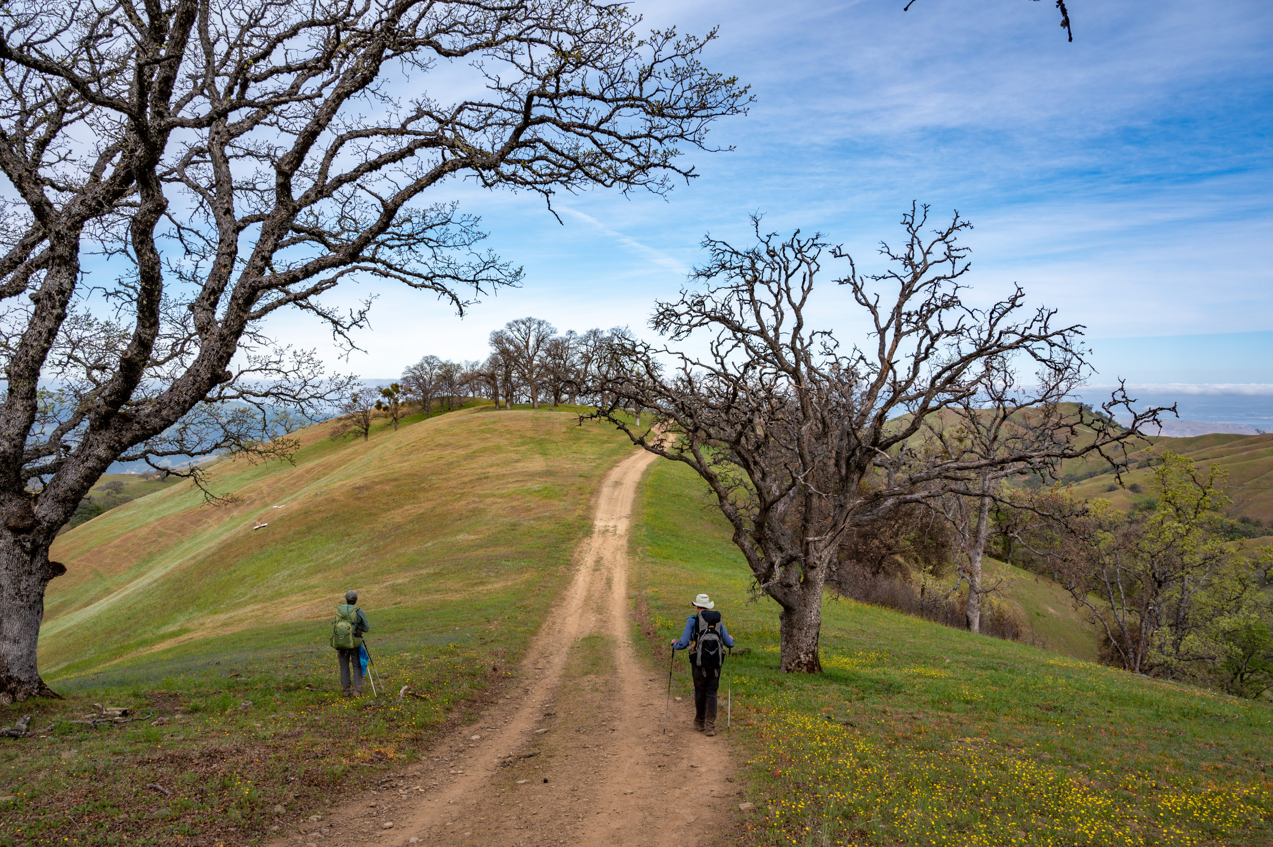
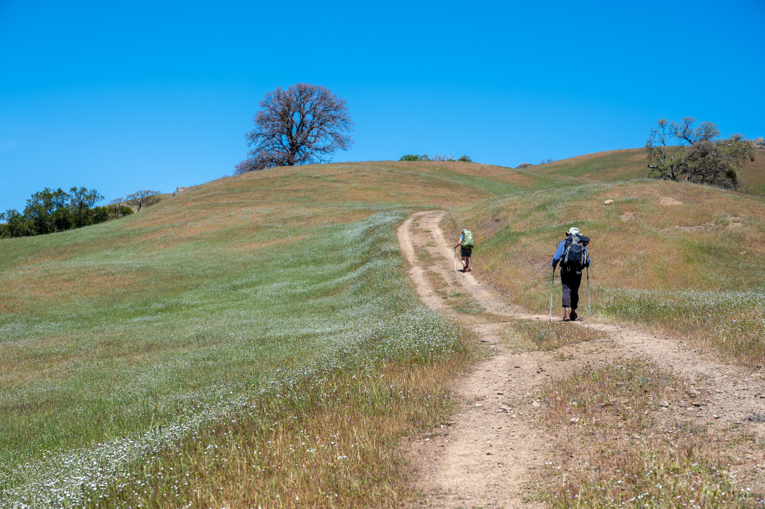
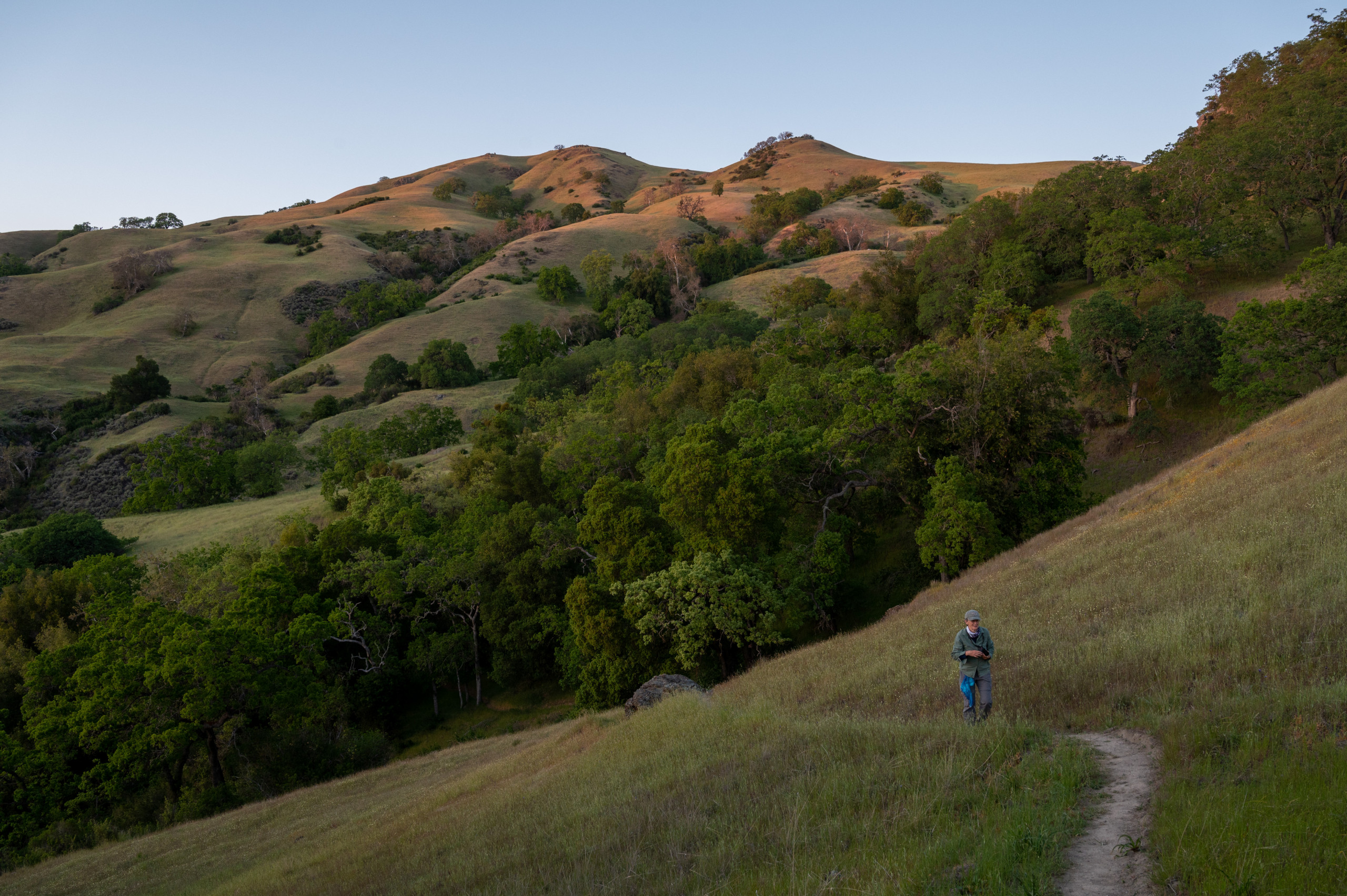
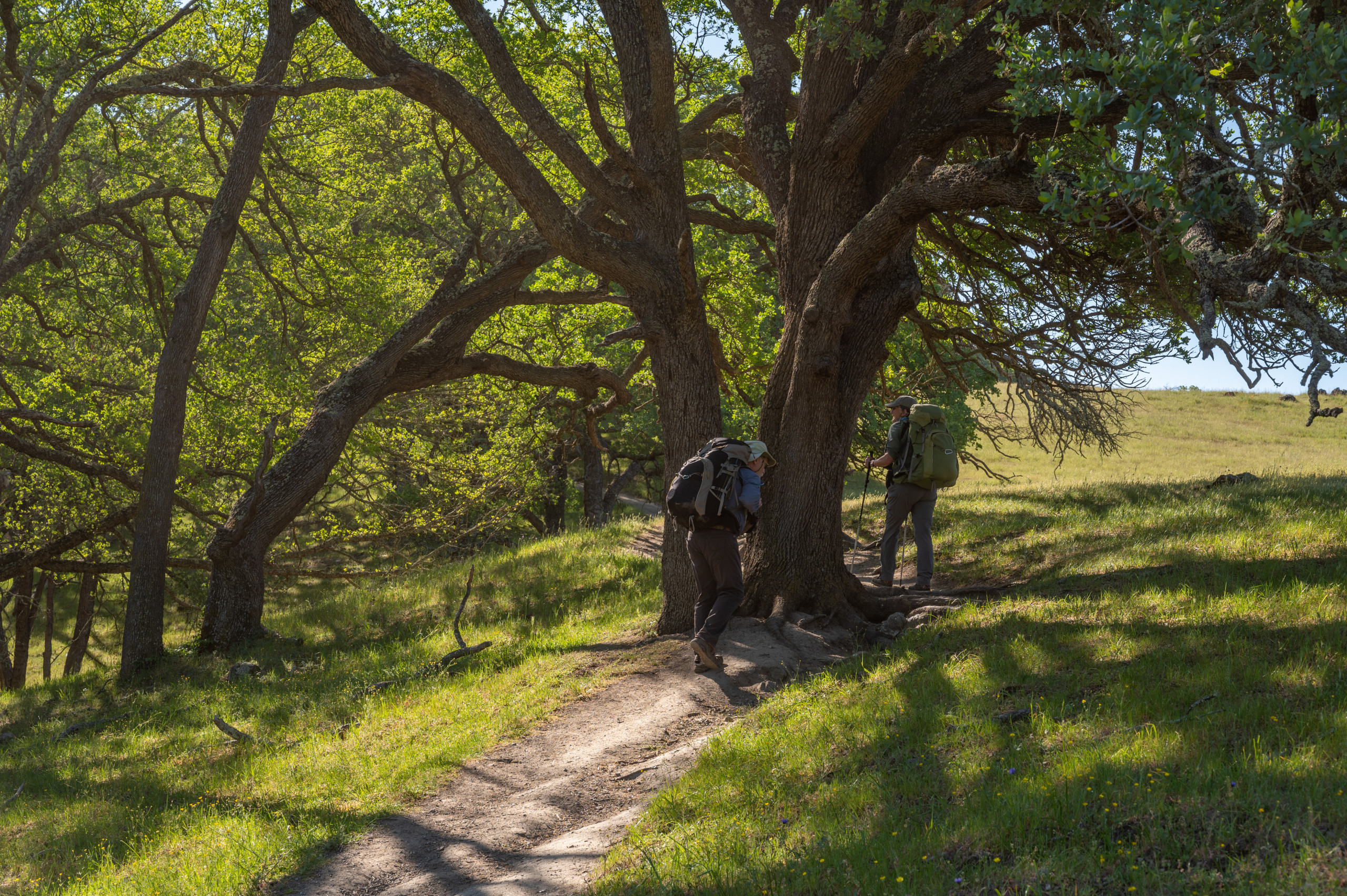
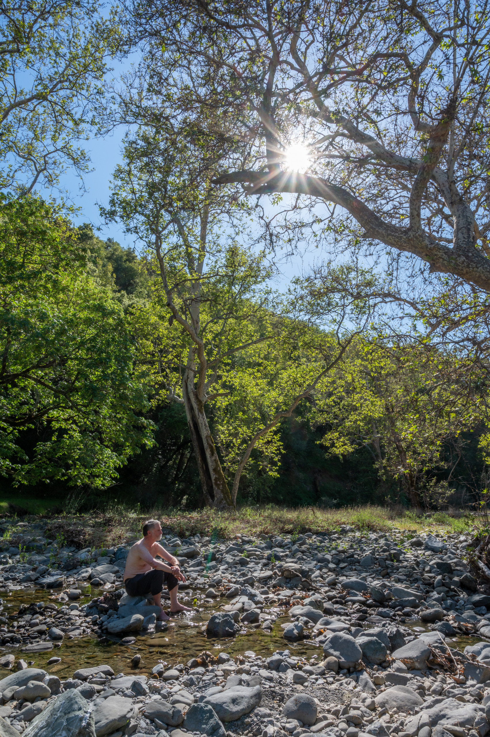
Heading back to Sunol on the Ohlone Trail
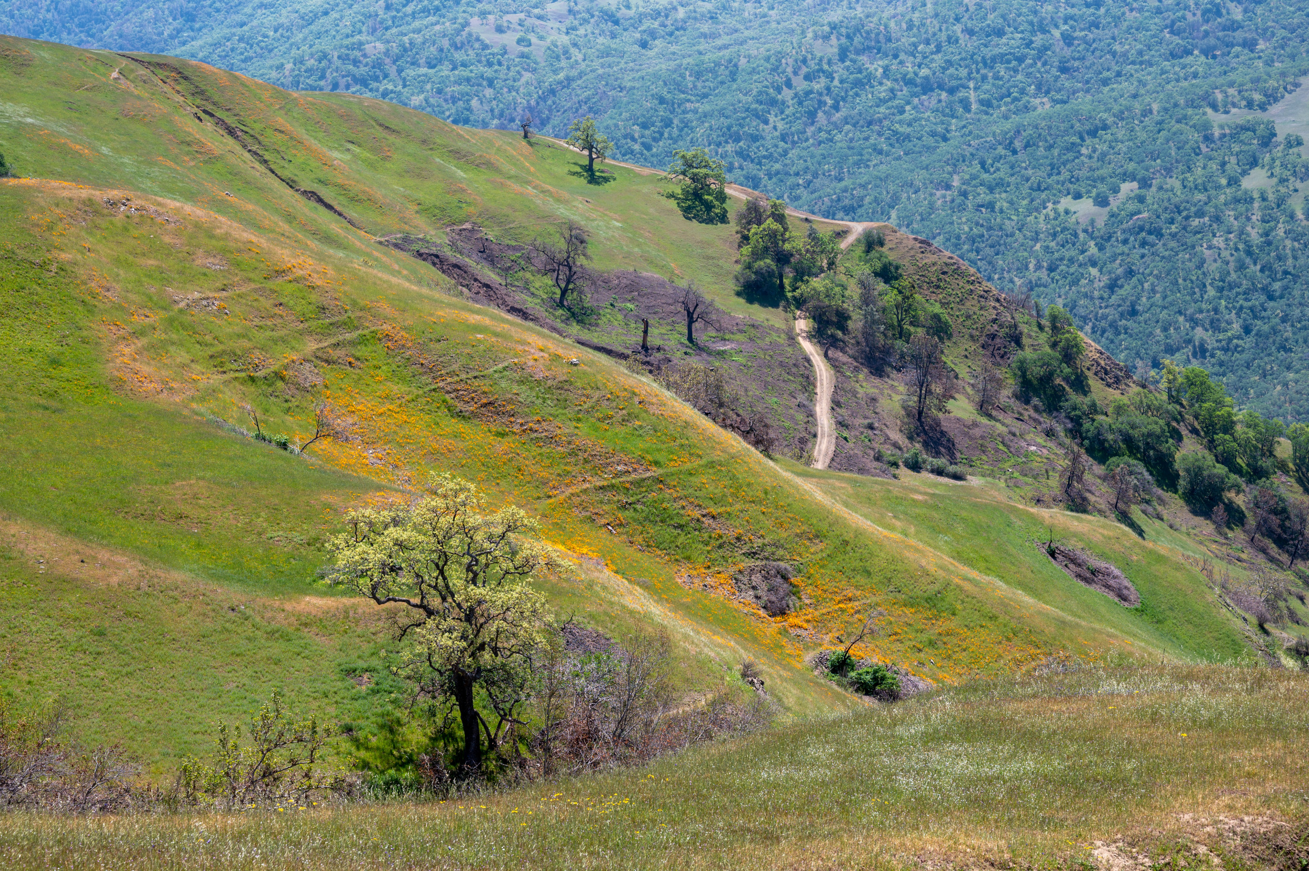
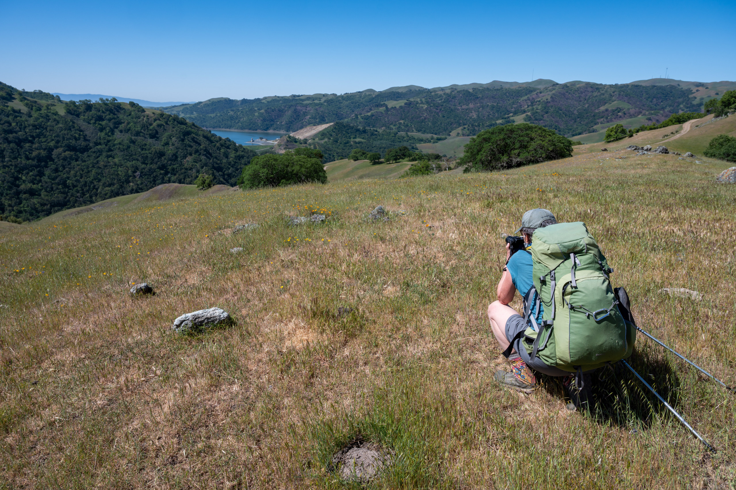
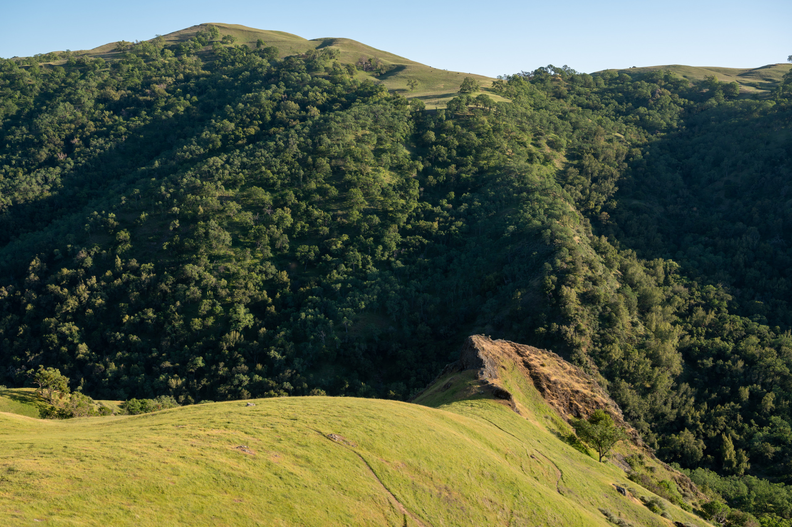
More Photos of the Ohlone Wilderness This Spring