Distance: 8.5 miles
Elevation gain: Mostly flat
Difficulty: Beginner
Travel time: 2.5 to four hours to walk one way; one to three hours to bike one way
Trail surface: Paved trails
Best season: Spring or fall
Hours: Open between 5 AM and 10 PM unless otherwise posted or permitted
Managing agencies: East Bay Regional Park District, City of Brentwood, City of Oakley
Trailhead location: Marsh Creek Regional Trail trailhead parking lot, Concord Avenue, Brentwood
Map: EBRPD map
The Marsh Creek Regional Trail runs from Brentwood to the Oakley shoreline. Photo by Alexander Broom
The Marsh Creek Regional Trail is a beautiful path through eastern Contra Costa County. It serves as a connection to parklands and as a safe way to traverse Brentwood and Oakley.
It is also ADA-compliant, meaning that the trail can be accessed by anyone in the area. And it has ongoing and recently completed restoration projects that have renewed areas with native plants and improved habitat for wildlife in and around the creek.
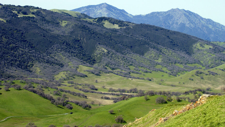
Marsh Creek Reservoir and the surrounding landscape at Marsh Creek State Park could be the home of a continued trail connecting the Sacramento–San Joaquin Delta to the peak of Mount Diablo via Round Valley and Morgan Territory Regional Preserves. Photo by Alexander Broom
The Marsh Creek Regional Trail is a fantastic example of how trails can allow people to access the outdoors, build community, and act as green transportation corridors.
South of the Trilogy Area
This area has been proposed for expanding the trail through the historic John Marsh property on the currently closed-to-the-public Marsh Creek State Park to Round Valley Regional Preserve.
Once this section is completed, there would be interconnected public access from Mount Diablo State Park via Morgan Territory and Round Valley Regional Preserves all the way to the Delta for recreational opportunities.
Concord Avenue Trailhead
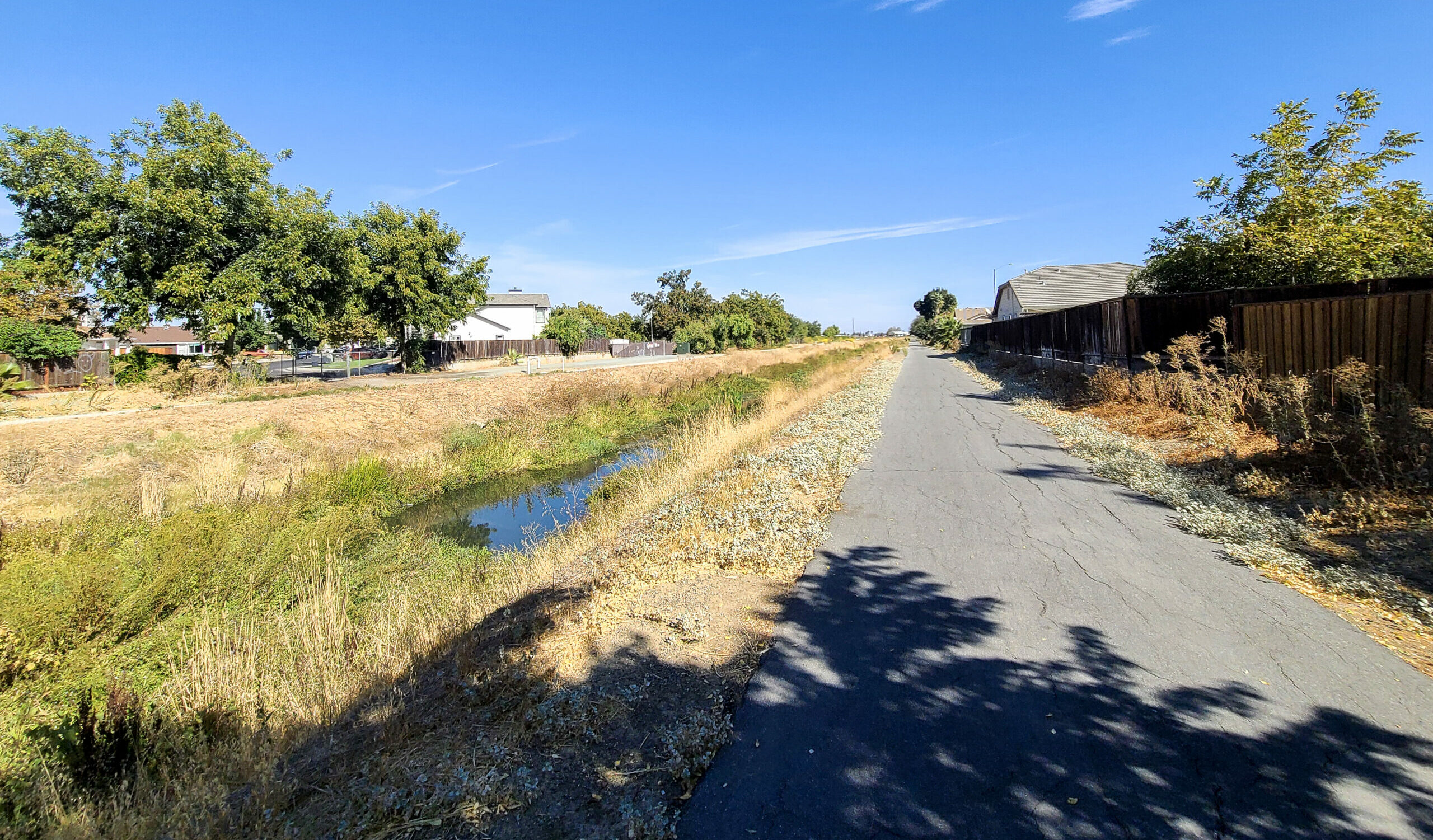
Creek Road (center) and the Marsh Creek Regional Trail (left) run adjacent to one another from the Concord Avenue Trailhead next to Marsh Creek. Photo by Alexander Broom
The Concord Avenue Trailhead is currently the easiest way to access the upper part of the trail.
This trailhead features a bathroom and water fountain as well as benches. Travelers can also cross the street to explore the uppermost portions of the trail first before heading downstream.
Follow the path along Creek Road. This section of the trail features many beautiful trees, including native oaks.
Take the turnout to the left that eventually crosses over the Contra Costa Canal.
Creekside Park in Brentwood
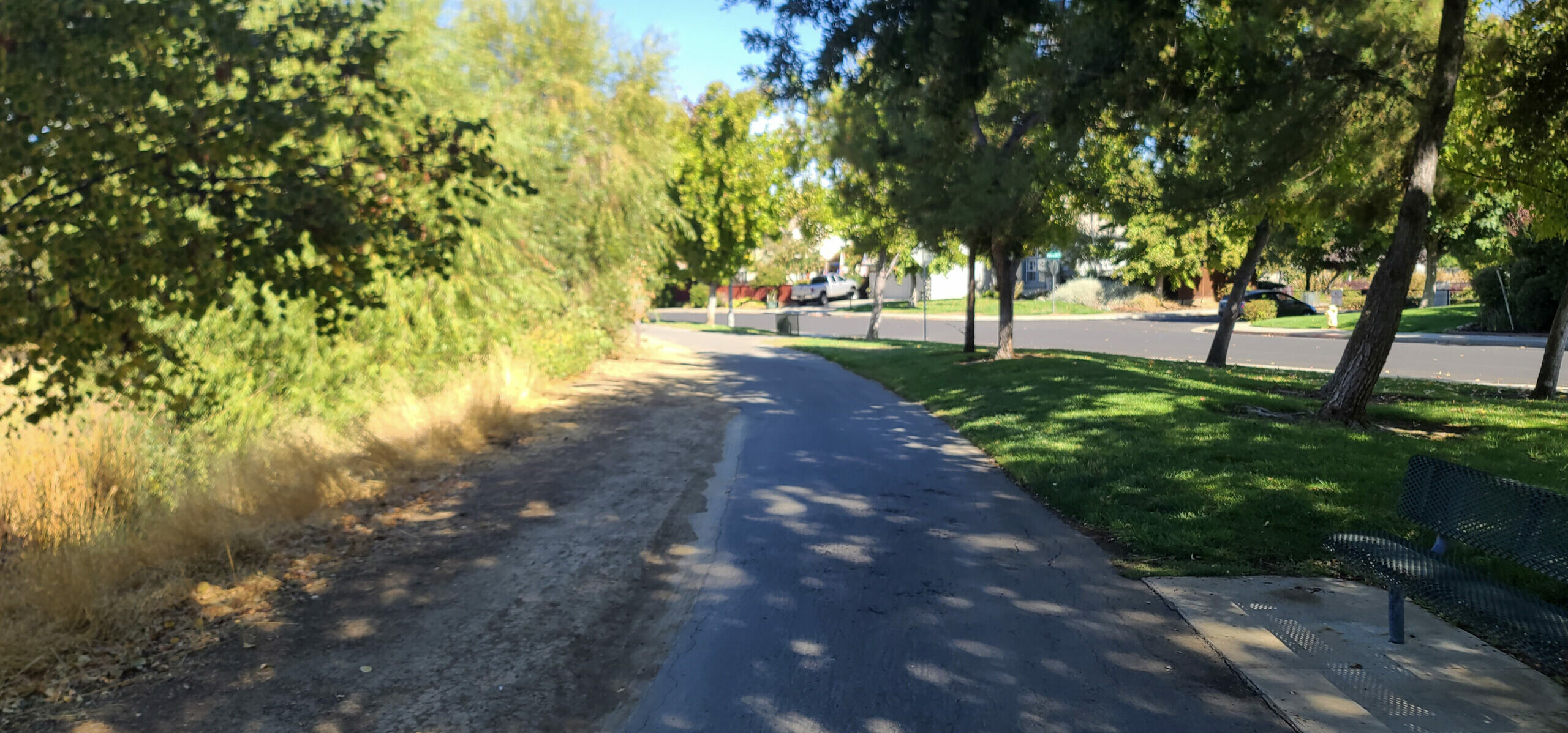
The Marsh Creek Regional Trail near Creekside Park in Brentwood. Photo by Alexander Broom
Immediately after crossing the canal, the trail traverses one of the two Creekside Parks in this area (Creekside Park in Brentwood).
The park features a playground and a disc golf course. The trail weaves onward to the north through Brentwood under Balfour Road to Central Boulevard. Immediately north of the park is a small but appealing native plant garden.
Three Creeks
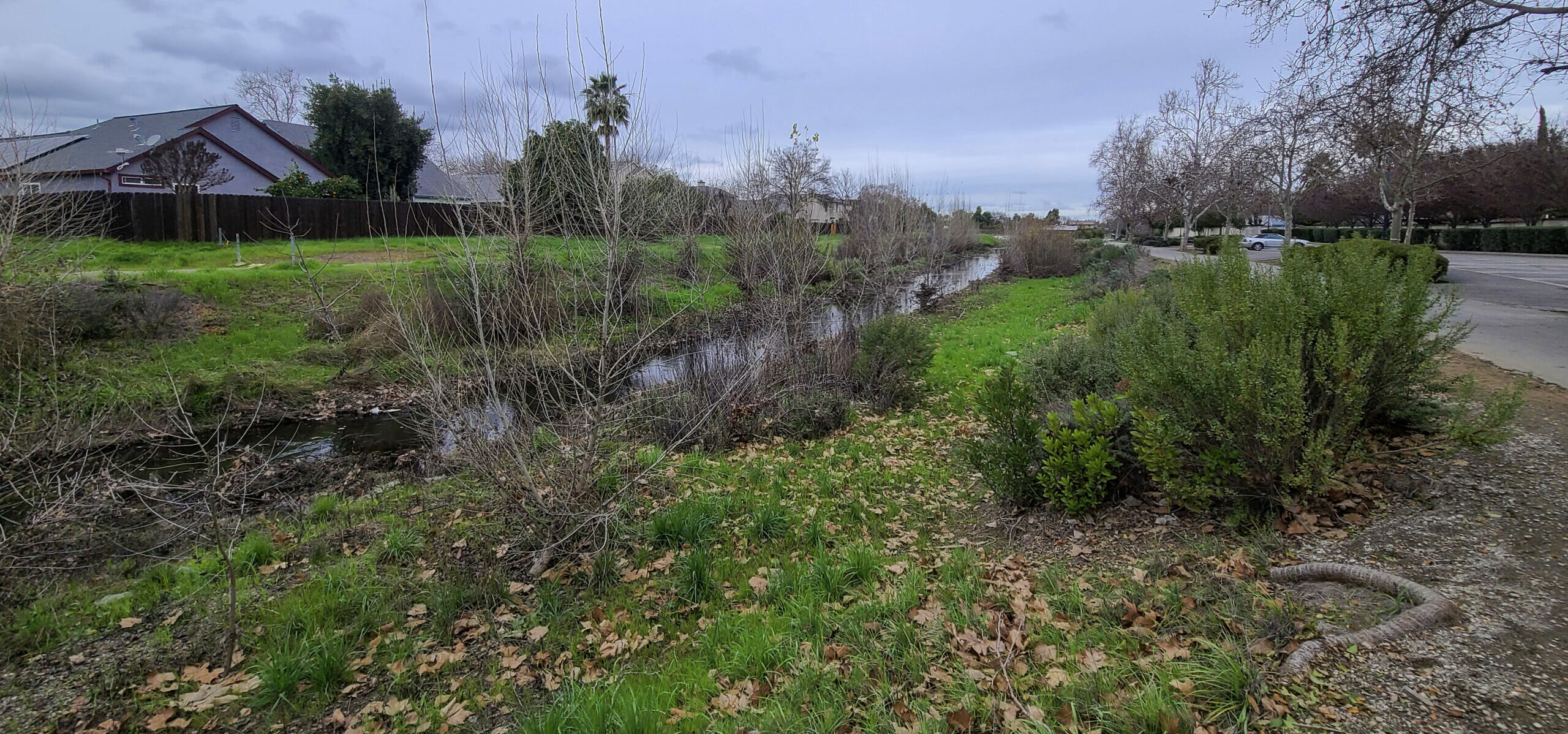
The recently restored Three Creeks area features a great variety of native plants. Photo by Alexander Broom
The trail keeps traveling north until it reaches the Three Creeks area. Three Creeks is significant because Marsh Creek, Deer Creek, and Sand Creek converge close to one another in this area. The area was recently restored.
Now this section of the creek features a broader flood plain and a variety of healthy native plants. This restoration project was completed last year.
The housing developments along this section were set up to face Marsh Creek so that people can easily enjoy the beauty of the creek and trail.
This area is accessible by car with many parking spots and a staging area.
Fish Ladder
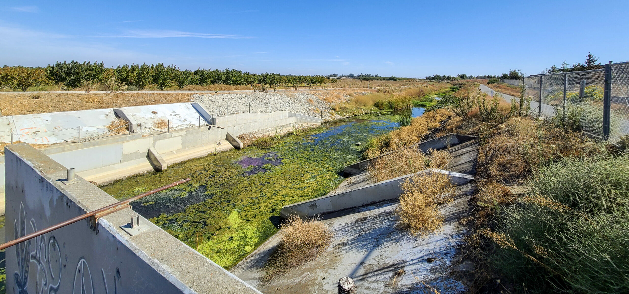
The view looking downstream of the fish ladder along the Marsh Creek Regional Trail in Brentwood. Photo by Alexander Broom
This ladder was built in the mid-2000s to support the life cycles of various species of anadromous fish like steelhead and salmon.
In this video you can see some of the fish swimming in Marsh Creek:
The fish ladder is located near the outflow of the Brentwood wastewater treatment facility. That outflow maintains flow below the ladder year-round. In this area, you’re likely to also see a lot more wildlife.
Creekside Park (Oakley)
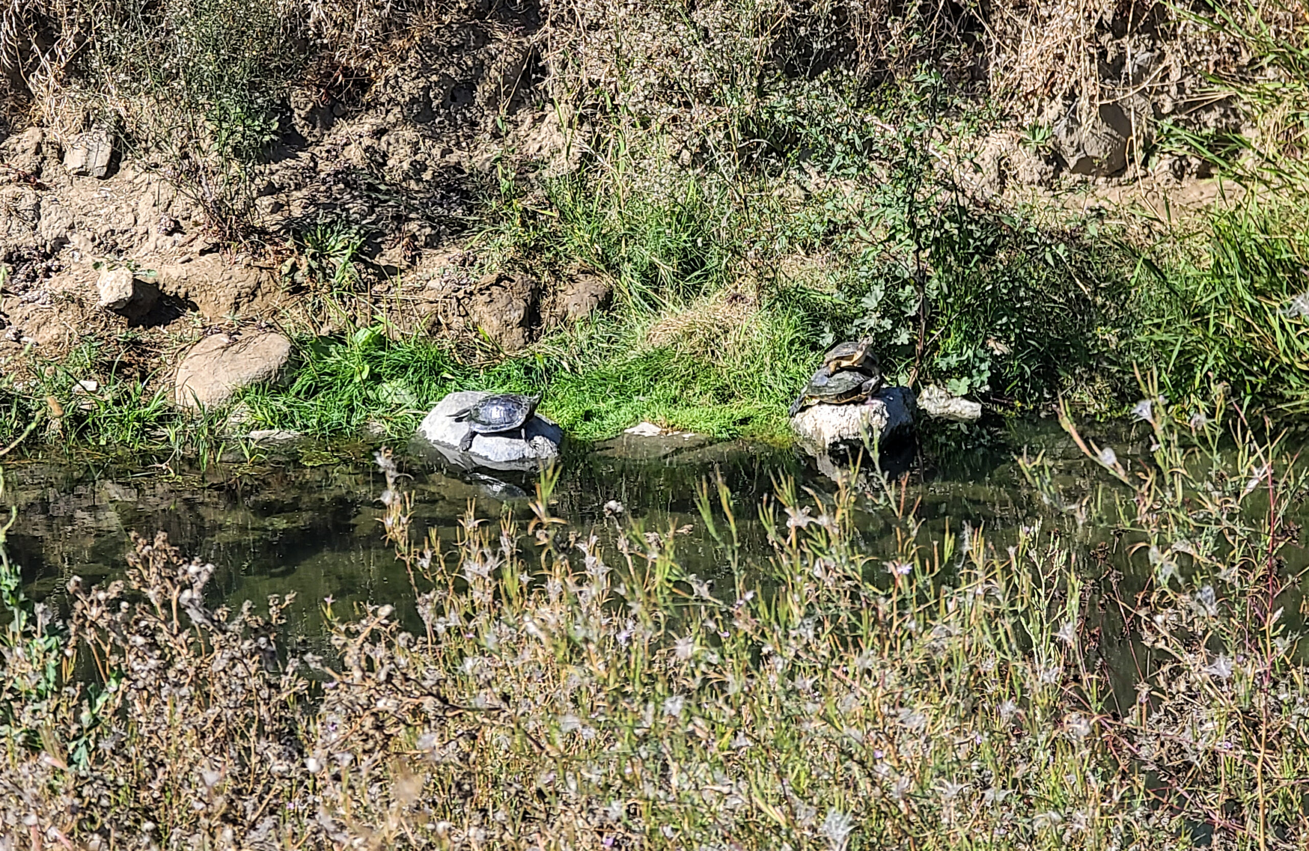
Turtles can be seen basking in the sun along the creek. Photo by Alexander Broom
Evidence of river otters is along many of the banks in this portion of the Marsh Creek Regional Trail. You are quite likely to see salmon during some months of the year splashing around this other recently restored section of the creek.
The floodplain was significantly expanded in this area to help increase the capacity of Marsh Creek. You can see scars of debris laid out on the banks from previous peak flows.
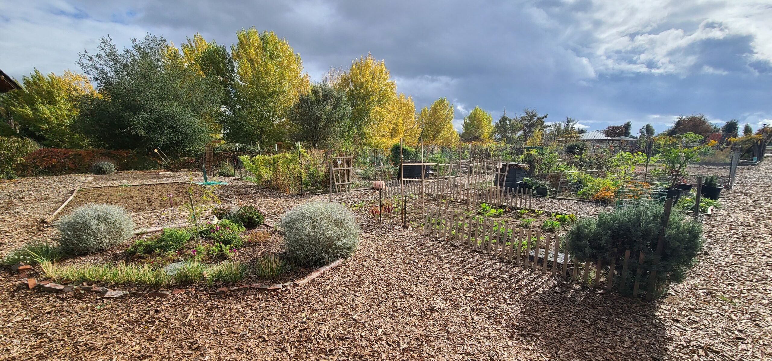
The Oakley community garden is worth a visit at Creekside Park in Oakley. Photo by Alexander Broom
The nearby Creekside Park offers a community garden, skate park, tennis courts, basketball courts, a bocce ball area, bathrooms, and play equipment. The park is accessible by car by heading down Laurel Road east of Main Street in Oakley.
Dutch Slough
Dutch Slough is the end of the line for the Marsh Creek Regional Trail.
The Dutch Slough restoration project, of which the first phase is newly completed, covers more than 1,200 acres at the outflow of Marsh Creek into the Delta.
Much of the restored slough is still closed to the public, but you can view it from the trail. You can access the trail by foot or bike at a couple of paths in the nearby neighborhood or at the Cypress Road staging area near Main Street in Oakley.
Dutch Slough is expected to open to the public in 2024.
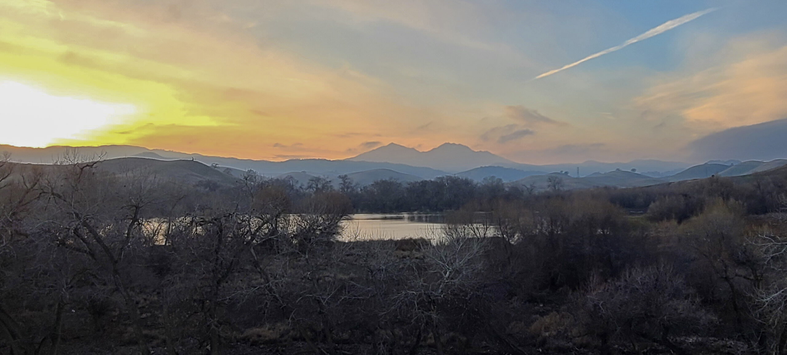
Connecting to the Big Break Regional Trail
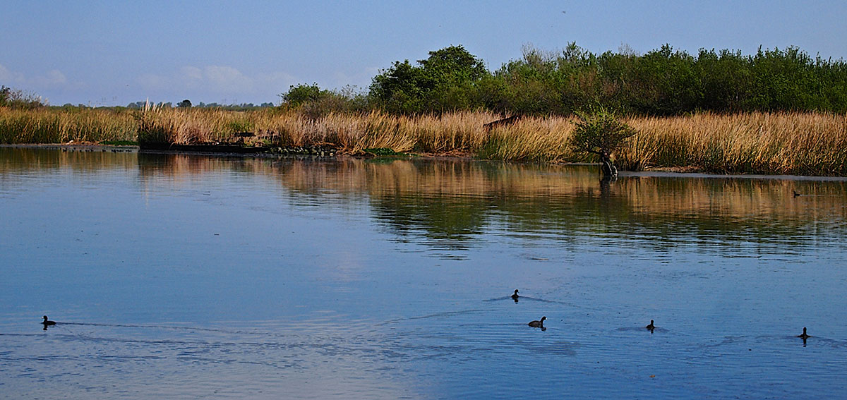
Big Break Regional Shoreline. Photo by Pussreboots | CC BY-NC-SA
There’s a real transition to the wetland environment in this area as you meet the Delta.
If you’re a big wetlands or Delta fan, you can walk along them by crossing the bridge at the end of the Marsh Creek Regional Trail and continuing on along the Big Break Regional Trail.
The Big Break trail traverses at the edge of the Delta through some neighborhood streets directly adjacent to the Big Break Regional Shoreline. The Big Break Visitor Center offers educational events and a variety of special events.
We hope you enjoy this trail! Please check out our new sixth edition of the regional trail map to find more great places to explore close to home.

