Distance: 6.3 miles
Elevation gain: 1,794 feet
Difficulty: Moderate to strenuous
Hiking time: Three to six hours
Trail surface: Unpaved trails, fire roads, paved
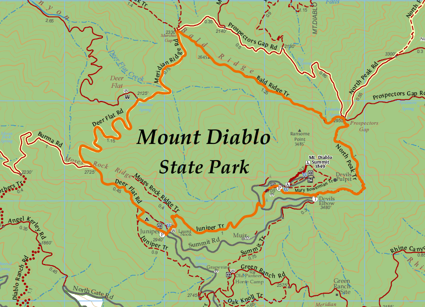
The Grand Loop on Mount Diablo
Best season: Winter, spring, or fall
Hours: 8 AM to sunset
Managing agency: California State Parks
Trailhead location: Juniper Campground parking lot
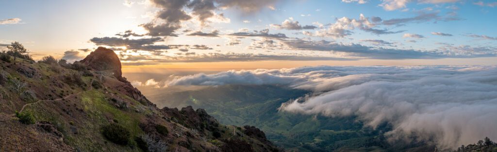
If winter storms have you feeling cabin fever, but you don’t want to walk or run around on some muddy trail, the higher parts of Mount Diablo State Park may be a haven.
Thank its well-draining geology above the foothills, which lack much of that clay and dirt, and instead feature more rocky soil that shouldn’t cling like cake batter to your boots or shoes.
If you’re also looking for a good workout with even better views, the “Grand Loop,” at 6.2 miles, might be the hike you’ve been seeking.
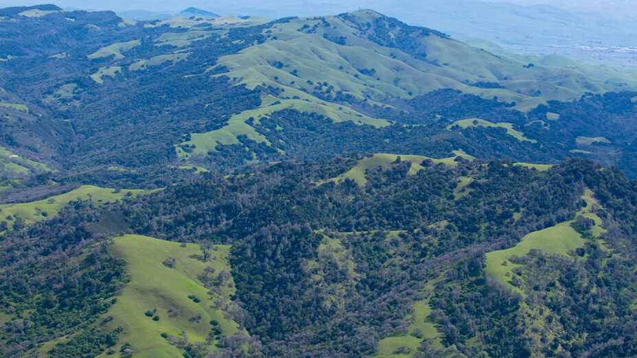
On a clear day, you can see some amazing 360-degree scenery.
The Devil’s Pulpit on Mount Diablo. Photo by Floyd McCluhan
This route starts at the parking lot for the popular Juniper Campground near the Mount Diablo Summit. Getting there will be a short journey toward the top no matter the entrance.
Once you’ve arrived, head northwest to begin on the route past the Juniper Campground down to Deer Flat along the road that bears its name.
This section is a good way downhill and features switchbacks surrounded by dense chaparral, woodland, and the plethora of critters living there.
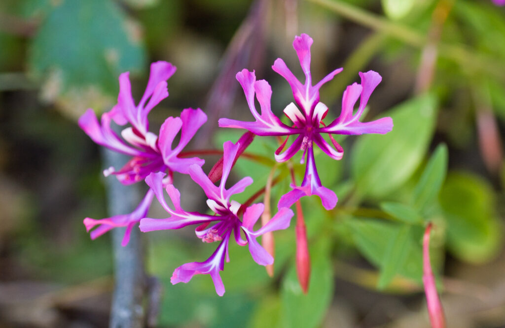
In the springtime, you might see lots of beautiful wildflowers.
Red ribbons clarkia (Clarkia concinna), Devil’s Elbow Trail, Mount Diablo State Park, California. Photo by Scott Hein
Stay to the right and Deer Flat Road will turn into Meridian Ridge Road, and as you continue onward, you’ll see Bald Ridge opening up above and to your right.
The marker for the Bald Ridge Trail can be difficult to spot, but as you crest the hill and a view opens to your north, you’ll head up the single-track trail to the right.
The route through here can be difficult to follow in some areas, so be well-prepared with GPS, maps, or both for this entirely uphill section.
Once you’ve reached Prospector’s Gap, you’ll be faced with a number of roads to venture on, but you’ll instead bear right onto the North Peak Trail toward the lower parts of Devil’s Pulpit below the summit.
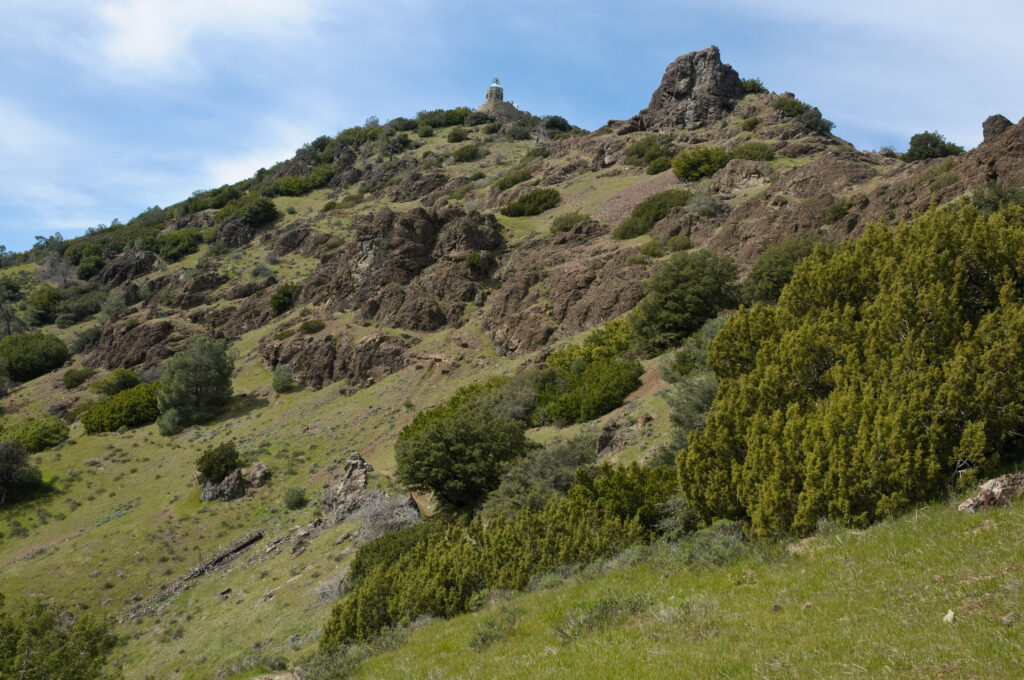
The Mount Diablo Summit Visitor’s Center and Devil’s Pulpit from the Devil’s Elbow Trail. Photo by Scott Hein
Just before you hit the Devil’s Elbow, it’s best to continue towards the summit on the Summit Trail before dropping back down to the lower summit parking lot.
From there you’ll head west until you get to the Juniper Trail, which will take you all the way back to the Juniper parking lot.
For more information, check out Audible Mount Diablo’s trail guide to the Grand Loop.
We hope you enjoy this hike! Please check out our new sixth edition of our regional trail map to find more great places to hike close to home.
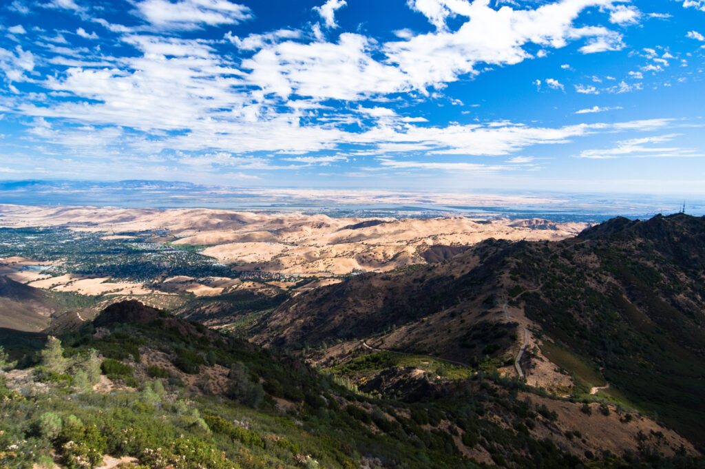
Prospectors Gap and North Peak, Mount Diablo State Park. Photo by Scott Hein

