Distance: Four miles
Elevation gain: 1,100 feet
Difficulty: Moderate
Hiking time: Two to four hours
Trail surface: Unpaved trails, fire roads
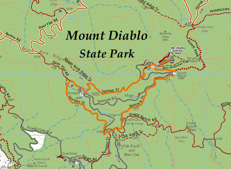
Best season: Winter or spring
Hours: 8 AM to sunset
Managing agency: California State Parks
Trailhead location: Juniper Campground parking lot
This short loop offers some fantastic views for those looking to get out on a quick trek.
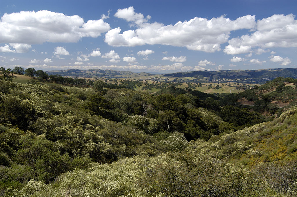
The upper reaches of Mount Diablo are home to geology that is more conducive to winter hiking and recreation thanks to its rocky soils and better drainage
So you’re not as likely to see the same extent of muddy shoes when hiking after an inundation of rain.
The route begins from the parking lot for the popular Juniper Campground near the Mount Diablo summit.
Getting to the parking lot will be a short, but majestic, journey by car from either the park’s North or South Gate.
View from Sentinel Rock, not far from South Gate Road. Photo by Scott Hein
Because it’s a loop, you can start this hike wherever you choose, and take whatever direction you prefer.
Heading down the Juniper Trail to the Summit Trail will provide a good balance of climb and drop through the hike. This first leg is just shy of a mile and has a gentle downslope.
You will have dropped 200 feet by the time you intersect with the Summit Trail. Then take the Summit Trail for a little over a mile, climbing 700 or more feet, before reaching Devil’s Elbow.
This next leg is the final leg before reaching the Mount Diablo Summit Visitor Center just about a half-mile out.
The Mount Diablo Summit Beacon at sunrise. Photo by Floyd McCluhan.
The summit is a great stopping point for lunch, to head into the gift shop, or just take in the incredible views—which are especially clear after a recent rain.
It’s then just a short walk down to the lower summit parking lot before embarking once again on the Juniper Trail back to the Juniper parking lot.
You’re sure to spot a good variety of birds, evergreens, and perhaps even native wildflower sprouts getting ready for the spring on this hike.
Later in the springtime, you might see butterflies, hummingbirds, lizards, and lots of wildflowers!
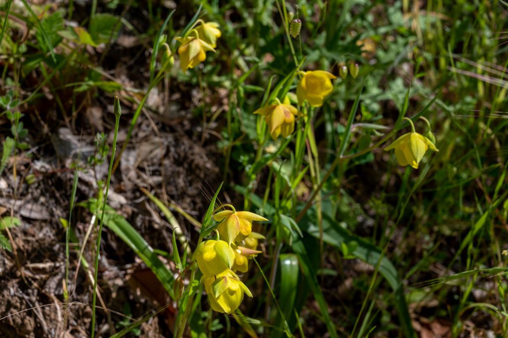
Mount Diablo globe lily (Calochortus pulchellus). Photo by Scott Hein
We hope you enjoy this hike! Please check out our new sixth edition of our regional trail map to find more great places to hike close to home.

Mount Diablo Summit Visitor Center. Photo by Cris Benton

