Distance: 5.3 miles
Elevation gain: 500 feet
Difficulty: Moderate
Hiking time: 2.5 hours
Trail surface: Unpaved trails and single-track trail
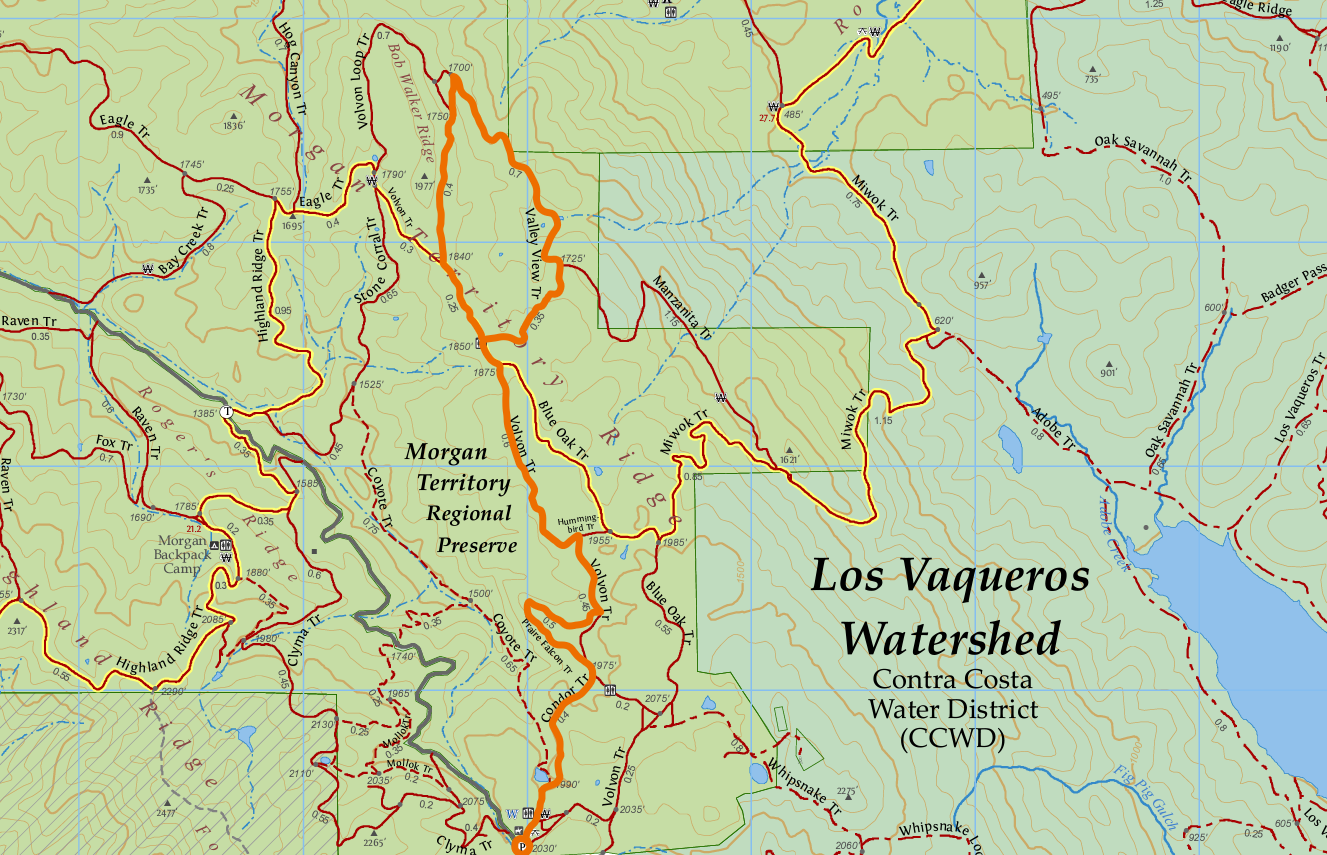
From the staging area hikers will travel along the Condor, Prairie Falcon, Volvon, and Valley View Trails before looping back to the Volon trail.
Best season: Spring
Hours: 8 AM to sunset
Managing agency: East Bay Regional Park District
Trailhead location: Morgan Territory Regional Preserve staging area
Morgan Territory Regional Preserve is one of the more remote areas in the East Bay to begin a hike.
Its views of mostly untouched lands and its high biodiversity make the preserve a fantastic place to explore year-round.
Although many of its trails are fairly exposed to the elements, there are some routes with abundant shade that make for a great summer-morning hike.
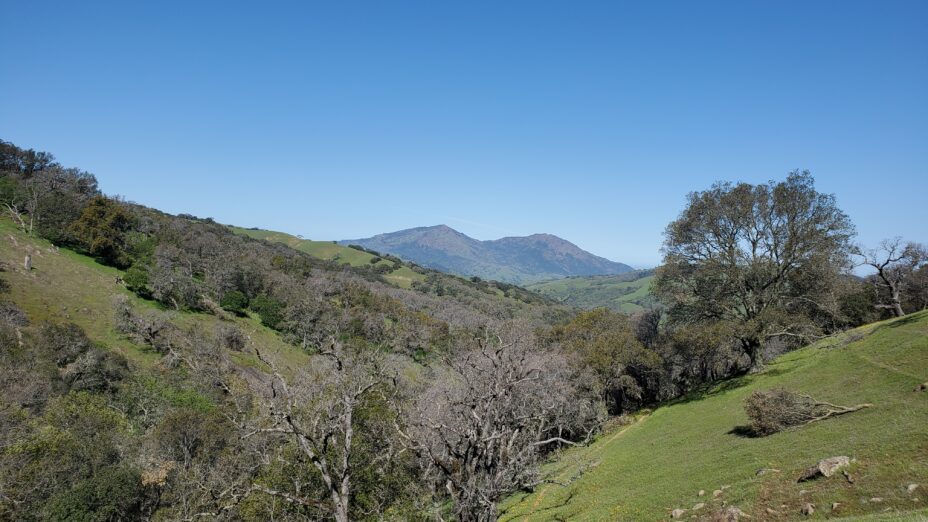
This route in particular runs along the Condor Trail from the Morgan Territory Regional Preserve staging area, which has plenty of parking in the summertime.
The Condor Trail is a single-track section that cuts through to the Volvon Trail.
We recommend detouring through the scenic Prairie Falcon Trail, which overlooks the Coyote Trail in the canyon below, just after connecting with the Volvon Trail. Note: the Prairie Falcon Trail is closed seasonally for nesting raptors from February 1 to August 30.
Though mountain bikers won’t be able to head along this route, they can start directly from, and stick to, the Volvon Trail from the staging area.
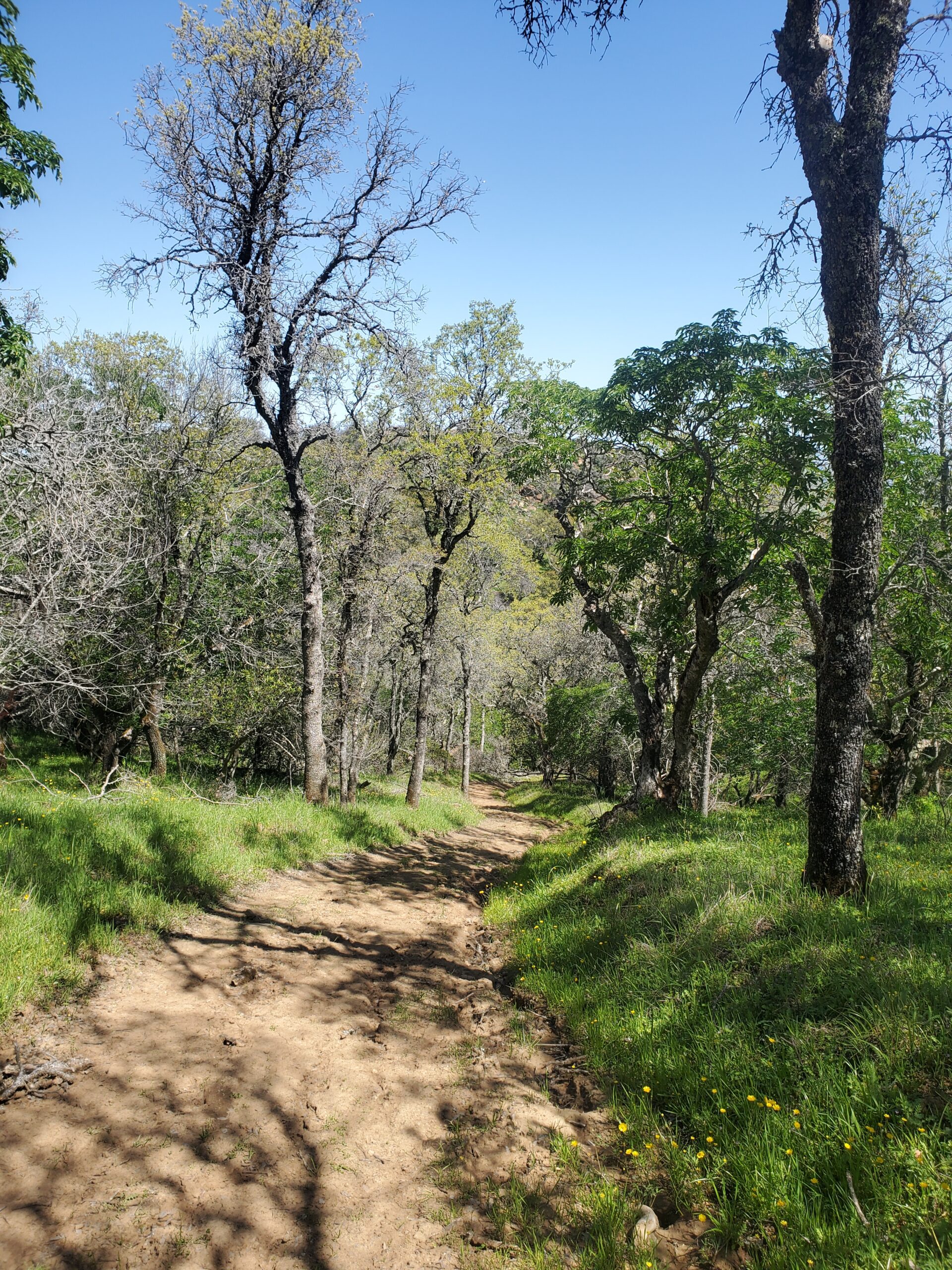
View from the Condor Trail in Morgan Territory Regional Preserve.
The Prairie Falcon Trail then reconnects with the Volvon Trail.
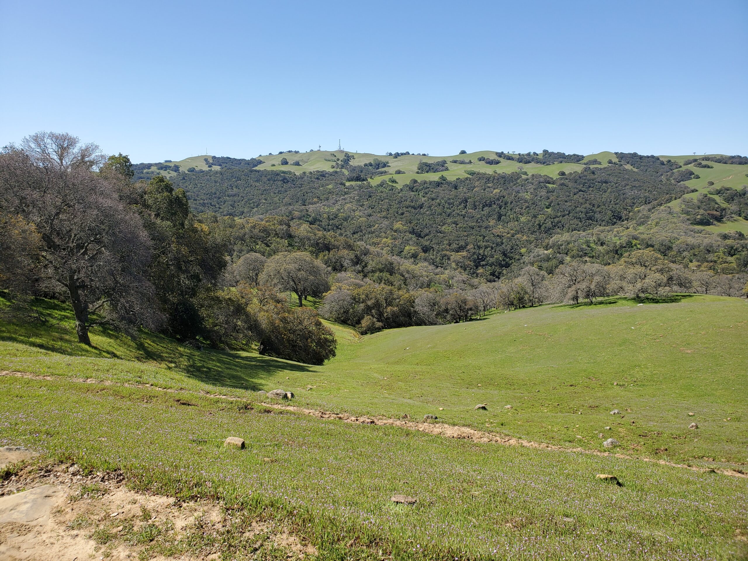
Hikers will continue to follow the trail until it splits at the Volvon Loop Trail sticking to the right-hand side on the way to the Valley View Trail.
The Valley View Trail dips gently down towards Round Valley, offers much more shade, and has a seasonal stream and ponds adjacent to the trail at its lowest point.
The water from the seasonal ponds in the Valley View Trail makes its way into Round Valley Regional Preserve and eventually into Marsh Creek.
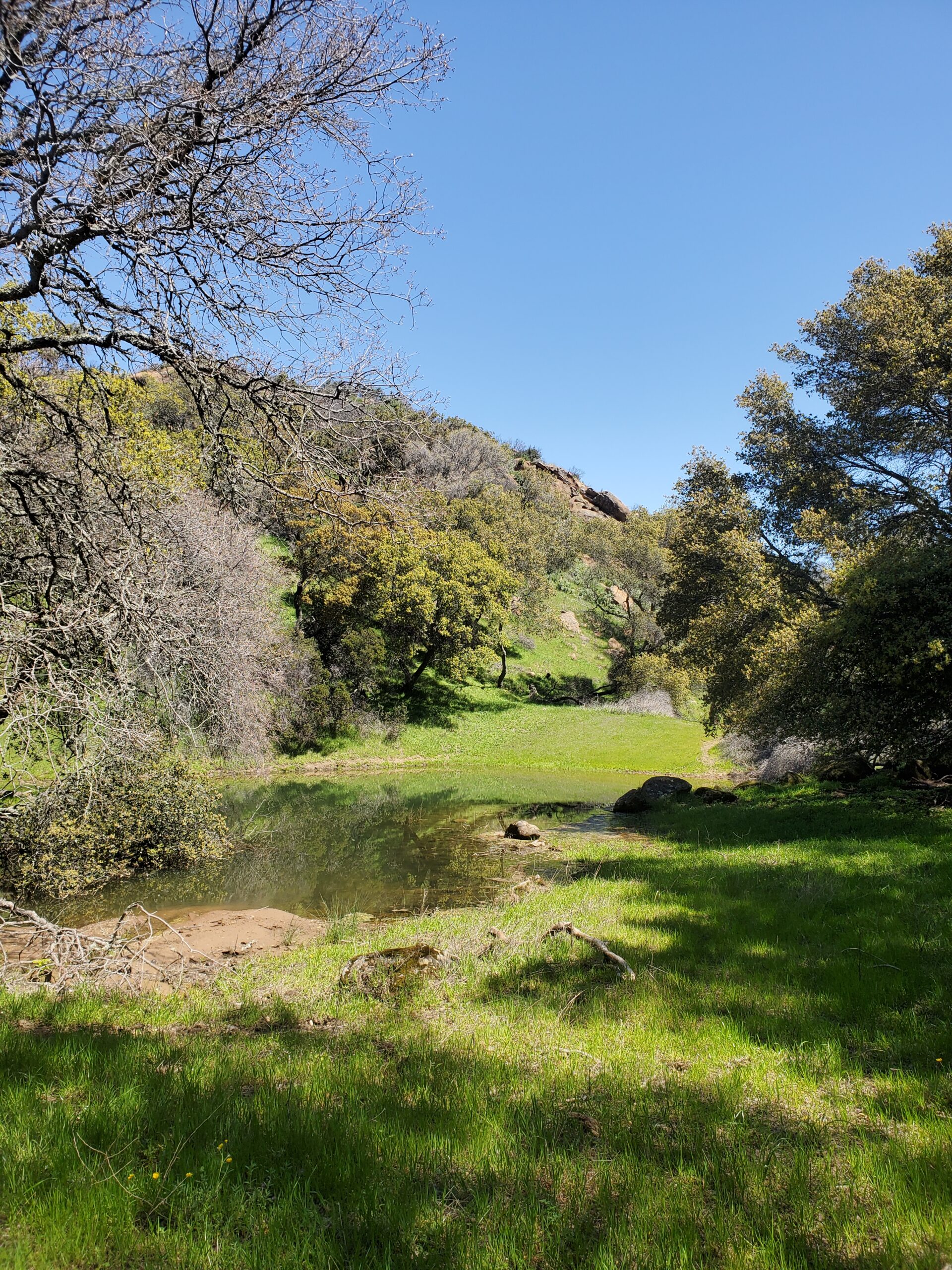
This low area makes for a great stopping point before heading up the trail’s steepest section and is perhaps one of the best spots to enjoy the surrounding nature.
Luckily this steep section is well-shaded and not too long, but mountain bikers may find it too challenging to ride up.
The Valley View Trail then reconnects to the Volvon Trail near an outhouse you’ll have already passed. Then backtrack to the staging area on either the Condor Trail by foot or the Volvon Trail by bike.
Looking down from the top of this route’s steepest section along the Valley View Trail.
Although this hike does feature abundant shade, compared to other trails in the area, much of it is still exposed. You’ll need to pack plenty of water and apply sunscreen regularly.
We hope you enjoy this hike, please check out our new sixth edition of the regional trail map to find more great places to hike close to home.
Photos by Alexander Broom

