Distance: 7.1 miles
Elevation gain: 1,063 feet
Difficulty: Moderate to strenuous
Hiking time: 3.5 to seven hours
Trail surface: Unpaved trails and dirt fire roads
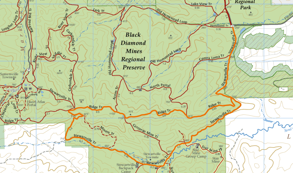
Best season: Spring
Hours: 8 AM to sunset
Managing agency: East Bay Regional Park District
Trailhead location: Frederickson Lane parking lot
If you’re after some great views and a solid workout to get your weekend started, Black Diamond Mines Regional Preserve has what you need.
This up-and-around hike route takes trailgoers along some of the highest terrain in the preserve and along the upper parts of Sand Creek south of Antioch.
Black Diamond Mines Regional Preserve is one of Antioch’s hidden gems. It offers spectacular views of Mount Diablo, much of east Contra Costa County, the Sacramento–San Joaquin Delta, and beyond.
Our route begins at the Frederickson Lane parking lot, just south of the entrance to Contra Loma Regional Park. The lot can fill up pretty quickly on the weekend, but there’s plenty of parking nearby.
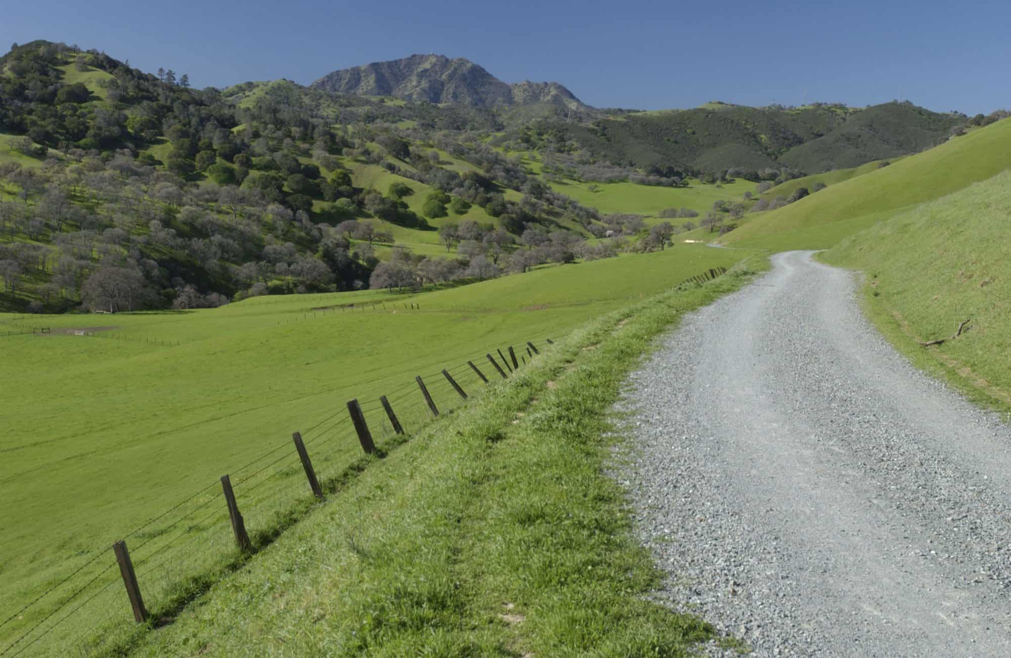
View from the Stewartsville Trail in Black Diamond Mines Regional Preserve. Photo by Scott Hein
The trails along this route are open to cyclists and hikers alike. They’re best taken in the early hours of the day during the summer and especially beautiful during springtime.
From the parking lot, head due south following signs for the Stewartville Trail. Continue to follow it for about half of the hike from the starting point of 250 feet to 1,150 feet when it meets up with the Ridge Trail.
There’s a rather steep climb before the end of the first mile that slowly works its way back down to the Stewartville townsite with great views along the way. There’s a bathroom just past the townsite and this makes a great place to take a break before the real work begins.
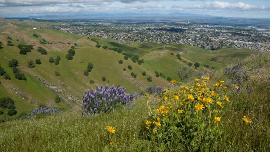
Looking south from Stewartville Trail in Black Diamond Mines Regional Preserve toward the Sand Creek area and the Star Mine area. Photo by Alexander Broom
The trail continues west and eases up towards the ridge before becoming considerably steep as it winds its way up to the ridge.
When you encounter the Ridge Trail, you’ll head east to the end of the trail where it meets up with the Stewartville Trail.
Along this section of the route, you’ll find those spectacular views mentioned earlier with some more mild climbs and descents. Finish off with a steady descent all the way back to the parking lot.
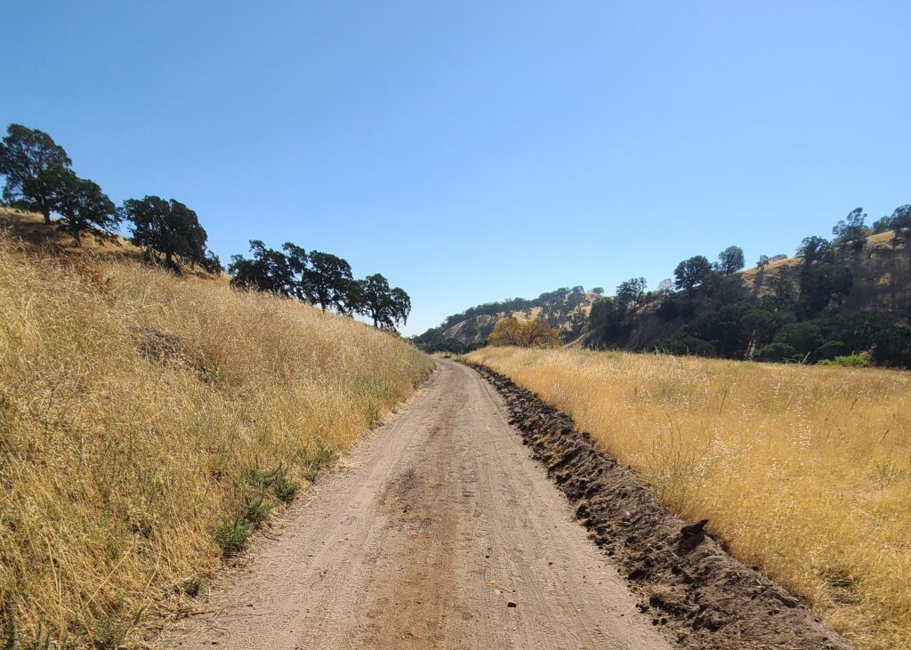
Stewartville Trail in Black Diamond Mines Regional Preserve. Photo by Alexander Broom
Hot in the summer, this is a great hike for the recent cool days we’ve had, early morning or late afternoon. In the afternoon it’s almost always breezy.
We hope you enjoy this hike! Please check out our new sixth edition of the regional trail map to find more great places to hike close to home.
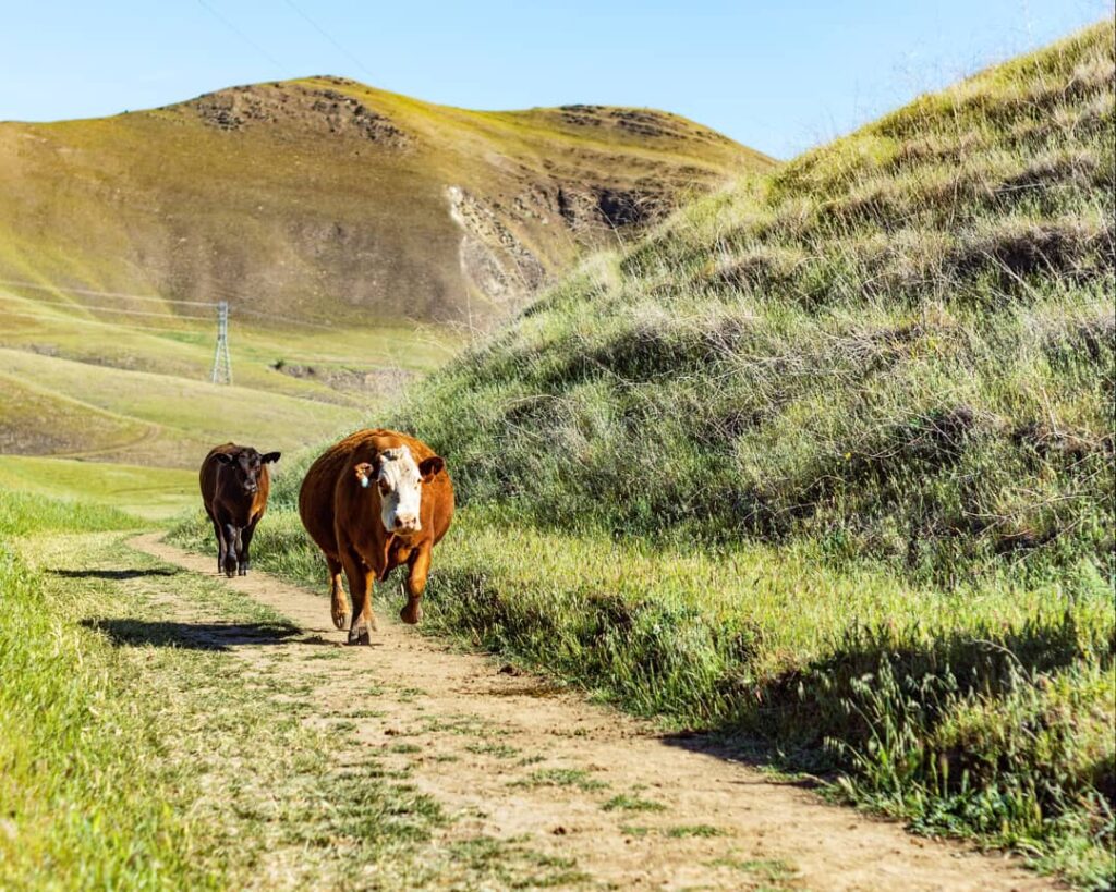
Cows at Black Diamond Mines. Photo by Alexander Broom

