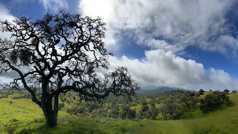
This scenic hike will take you on a peaceful journey over rolling hills, and across serene woodlands as you trek through the heart of Pacheco State Park.
Keep an eye out for wildlife. Depending on the time of year, you might spot eagles and other raptors overhead and a variety of butterflies along the trail.
If you visit Pacheco State Park in the early to mid-spring, the hills will be filled with plenty of wildflowers to admire.

Goldfields and blue dicks bloom in Pacheco State Park. Photo by Ted Clement
Distance: 5.5 miles
Elevation gain: 1,122 feet

Welcome to Pacheco State Park! Photo by Ted Clement
Difficulty: Moderate
Travel time: Three to five hours
Trail surface: Dirt
Best season: Spring
Hours: 8 AM to sunset
Managing agencies: California State Parks
Address: 38787 Dinosaur Point Road, Hollister, CA 95023
Trailhead location: The day-use area by the parking lot
Parking: Can be found on the south side of Dinosaur Point Road ($10 fee)
Dogs: Not allowed
Pacheco State Park in March. Photo by Ted Clement
Description:
The hike starts at the day-use area. From there, go under the Pacheco State Park sign onto Spikes Peak Road. Then stay on Spikes Peak Road for roughly three miles until you reach Spikes Peak!
Spikes Peak Road has very little shade, so it’s better to do this part of the loop earlier in the day, before the heat peaks. Make sure to bring sun protection and plenty of water so that you can safely enjoy your hike.

Spikes Peak Road. Photo by Mary Nagle
Once you reach Spikes Peak, take a minute to enjoy the view.
From here, the San Luis Reservoir is visible to the northeast; look southeast and you’ll see a beautiful view of Mount Ararat, Cathedral Peak, and Mariposa Peak.

San Luis Reservoir seen from Spikes Peak Road. Photo by Mary Nagle

Left to right: Mount Ararat, Cathedral Peak, and Mariposa Peak. Photo by Mary Nagle
Next, head downhill on the Canyon Loop Trail. After a short stretch, take the first left turn you see and continue on the Canyon Loop Trail.

Pacheco State Park in March. Photo by Ted Clement
Here is where you will enjoy the shadier portion of the hike as you saunter through the woodlands.
In May and June, the buckeyes will likely be blooming; Pacheco State Park is filled with groves of them. Their white flowers make the views even more beautiful throughout the hike.

Buckeyes in bloom along Canyon Loop Trail. Photo by Mary Nagle
As I headed down along the Canyon Loop Trail, I noticed the sweet scent of the buckeyes catching in the wind. It was a scent that was as lovely as any rose garden.
Stay on the Canyon Loop Trail as it turns into Pig Pond Trail and keep going until you’re back on Spikes Peak Road. From there head out via the way you started the hike, and the loop is complete.

Canyon Loop Trail. Photo by Mary Nagle
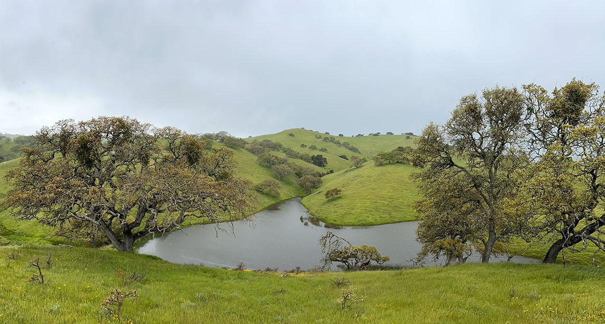
Be aware that a large portion of Pacheco State Park, including the Dinosaur Lake Trail, is closed indefinitely because of windmill construction.

Windmills at Pacheco State Park. Photo by Ted Clement

