Distance: 4.5 miles
Elevation change: 757 feet
Difficulty: Moderate
Time: Two to five hours
Trail surface: Dirt
Best season: Spring, fall, and winter
Managing agencies: East Bay Regional Park District and Livermore Area Recreation and Park District
Trailhead location: Laughlin Ranch Staging Area, Livermore
Description:
The Brushy Peak Loop Trail offers scenic views as well as interesting geology and native plants to explore.
Because several spring-fed ponds and seasonal streams near the trail provide necessary habitat, you may see birds and other wildlife, including California red-legged frogs and California tiger salamanders.
Brushy Peak Regional Preserve is also a good place to spot eagles in the wintertime.
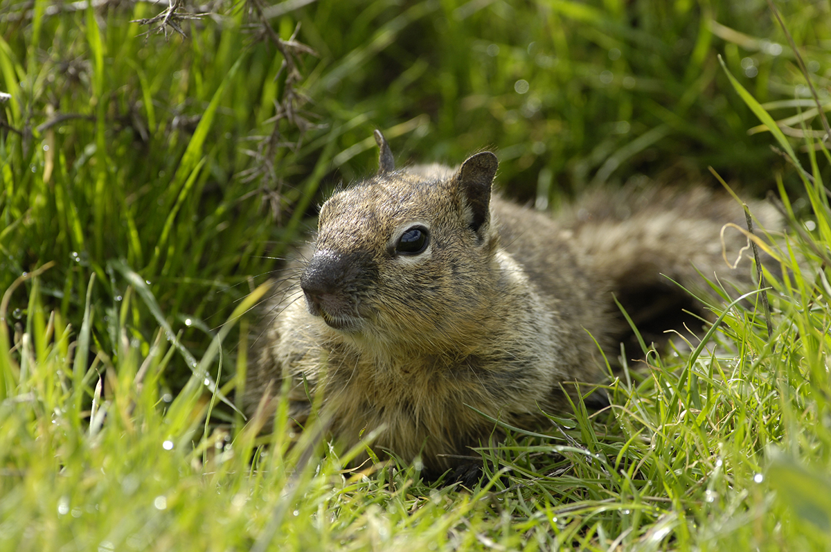
A ground squirrel at Brushy Peak Regional Preserve. Photo by Scott Hein
This trail wends around the south slope of Brushy Peak, the portion of the preserve within the East Bay Regional Park District (EBRPD). It’s open to the public daily.
The more sensitive habitat in the northern portion of the preserve, including the peak itself, is part of the Livermore Area Recreation and Park District (LARPD).
Anyone desiring access to this part of the preserve needs to contact LARPD at 925-373-5700 for information on guided tours.
Brushy Peak Regional Preserve. Photo by Brad Heckman
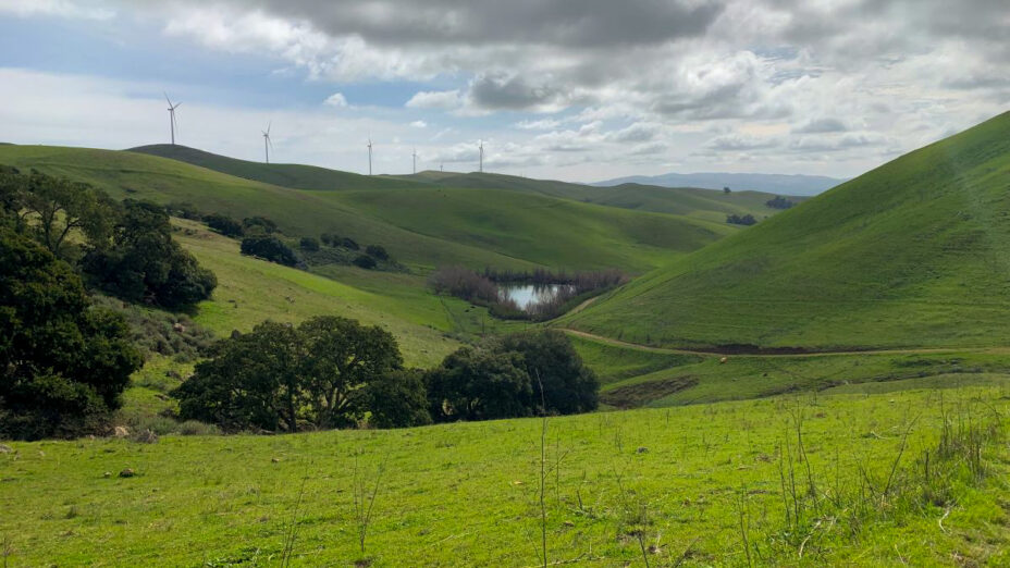
A short distance from the parking lot, you’ll come to a pond constructed in ranching times; in the spring, it hosts a variety of wildlife. You’ll also see windmill-capped hilltops from a different perspective than I-580’s familiar view.
The trail continues gradually uphill, following the seasonal stream that feeds into the pond. Trees and brush lining the stream provide wildlife habitat, and shortly before the first incline, you’ll find a second seasonal pond.
From this point, the incline follows along another seasonal stream. This is a good place to stop and survey the expansive view—the trail you’ve hiked up, the hilltop windmills, and the valley below.
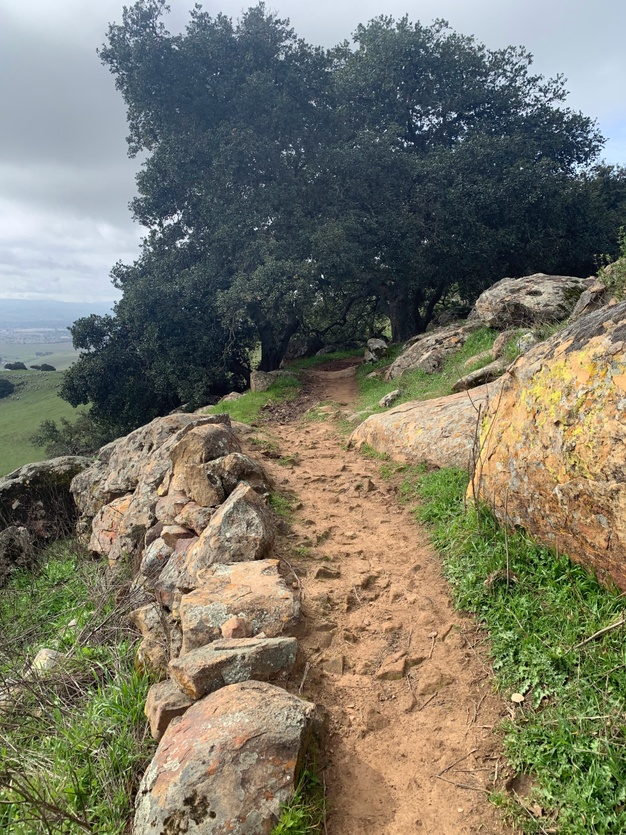
Photo by Christian Smith
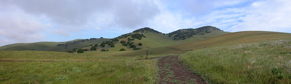
When you continue, the trail winds through sandstone rock outcrops and the trees that give Brushy Peak its distinctive look from afar. The rocks not only line the trail, but in places become the footpath, lending a wonderful, adventurous feeling to the hike.
Spring colors here can be vibrant. Lichen and moss brighten up the exposed rock and contrast with the lush green grassland.
The dominant components of this green are non-native herbaceous plants and annual grasses, attributable to the land’s continued cultivation in the past; widely scattered native perennial grasses also remain.
This portion of the trail offers lots of good spots to take a break, so sit down and admire all the nature that surrounds you.
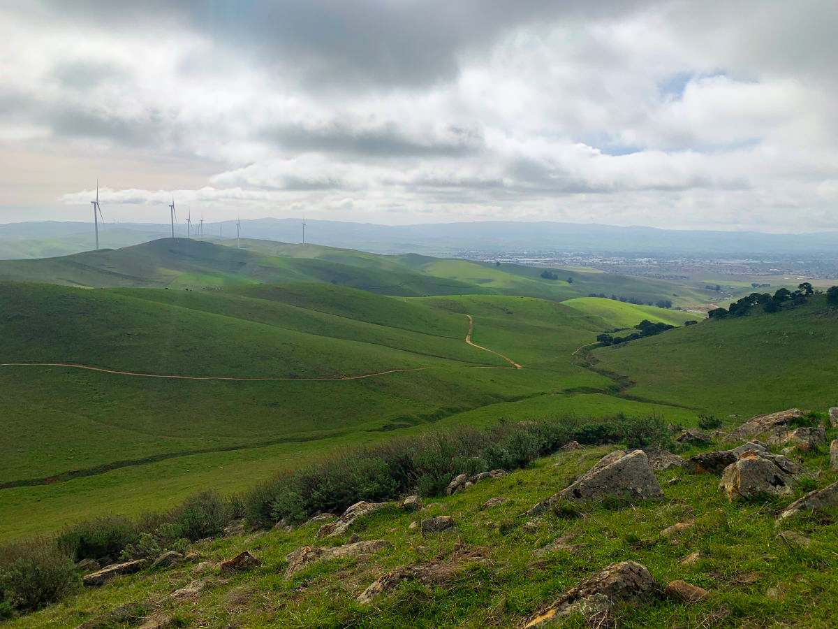
View from near the top of the trail and the view beyond. Photo by Christian Smith
As the trail bends around the south slope, you’ll be greeted with a view of neighboring ranchland and the path back down. Continue to the marked trail intersection, where the Brushy Peak Loop Trail ends and connects to the West Side Loop Trail.
This intersection, close to the highest point on the West Side Loop Trail, provides two options for the hike’s final leg.
You can turn right and immediately hike the eastern side of the loop downhill, past another pond and straight back to the parking lot, a distance just under one mile.
Or you can turn left and follow the western side of the loop uphill briefly, enjoying more valley views, until it also curves downhill. This route is also about one mile; though a negligible difference, it begins with the short but steep incline.
Dogs are welcome on the Brushy Peak Loop Trail and the West Side Loop Trail as long as they are leashed.
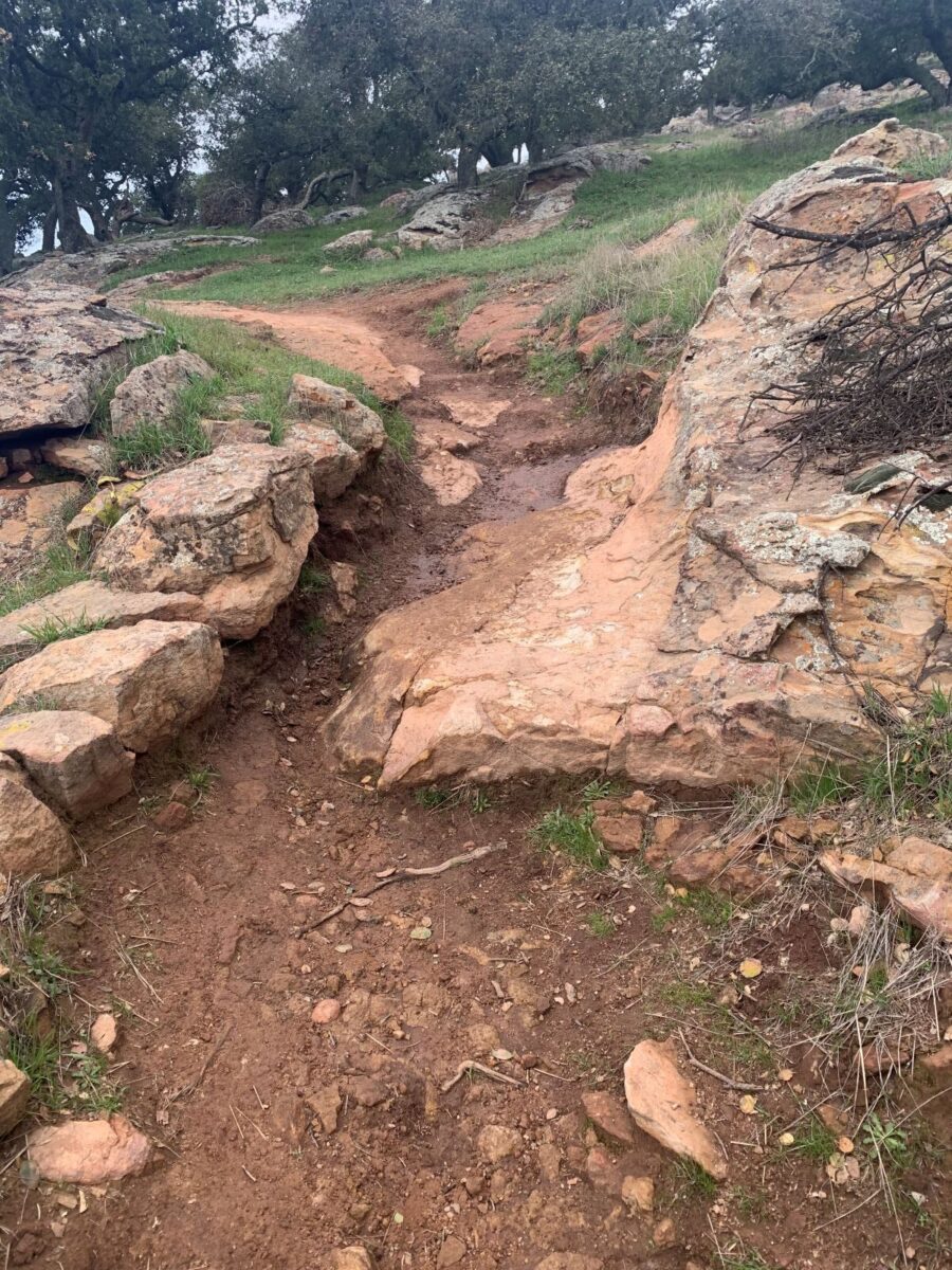
Photo by Christian Smith

